
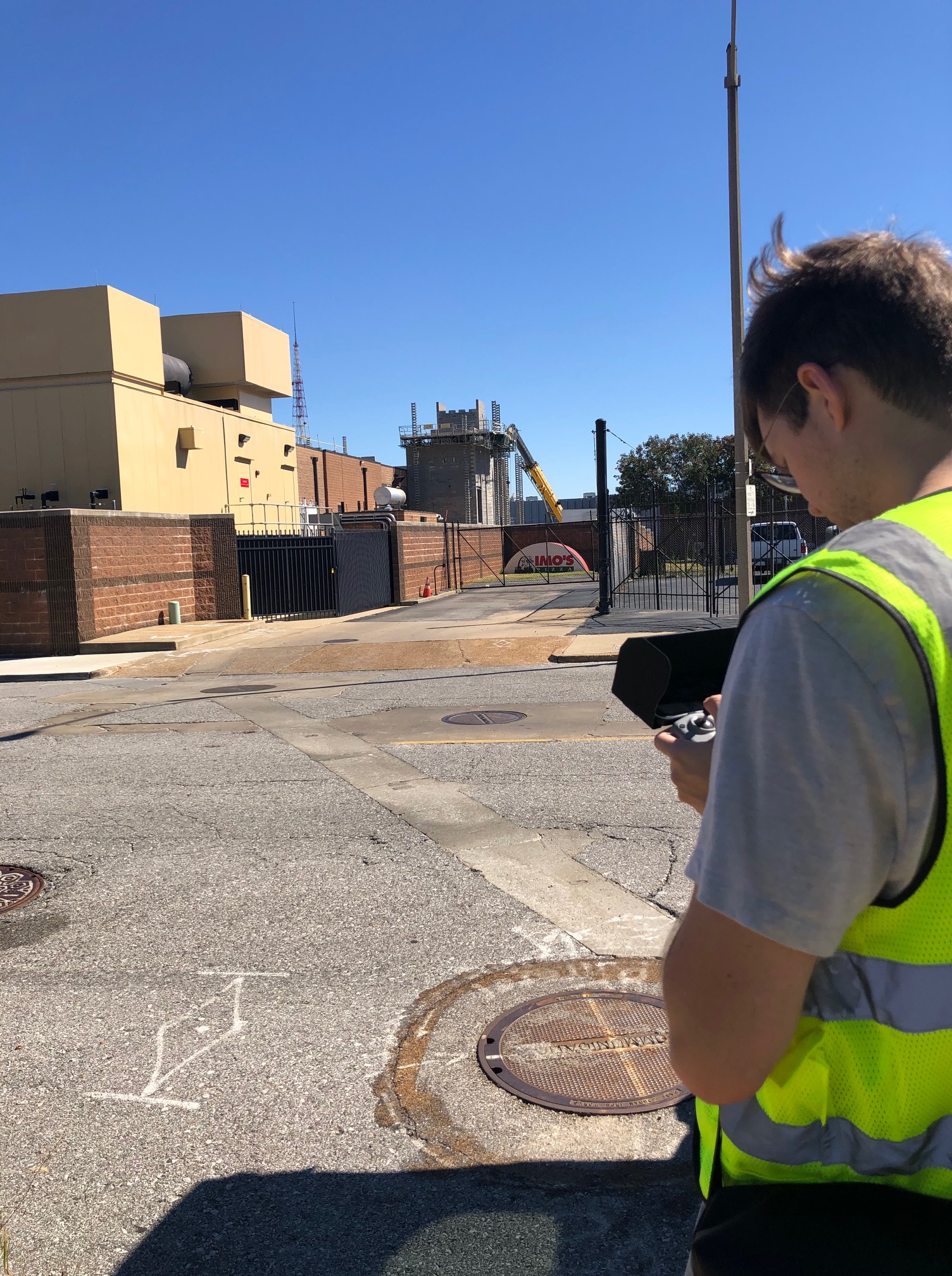
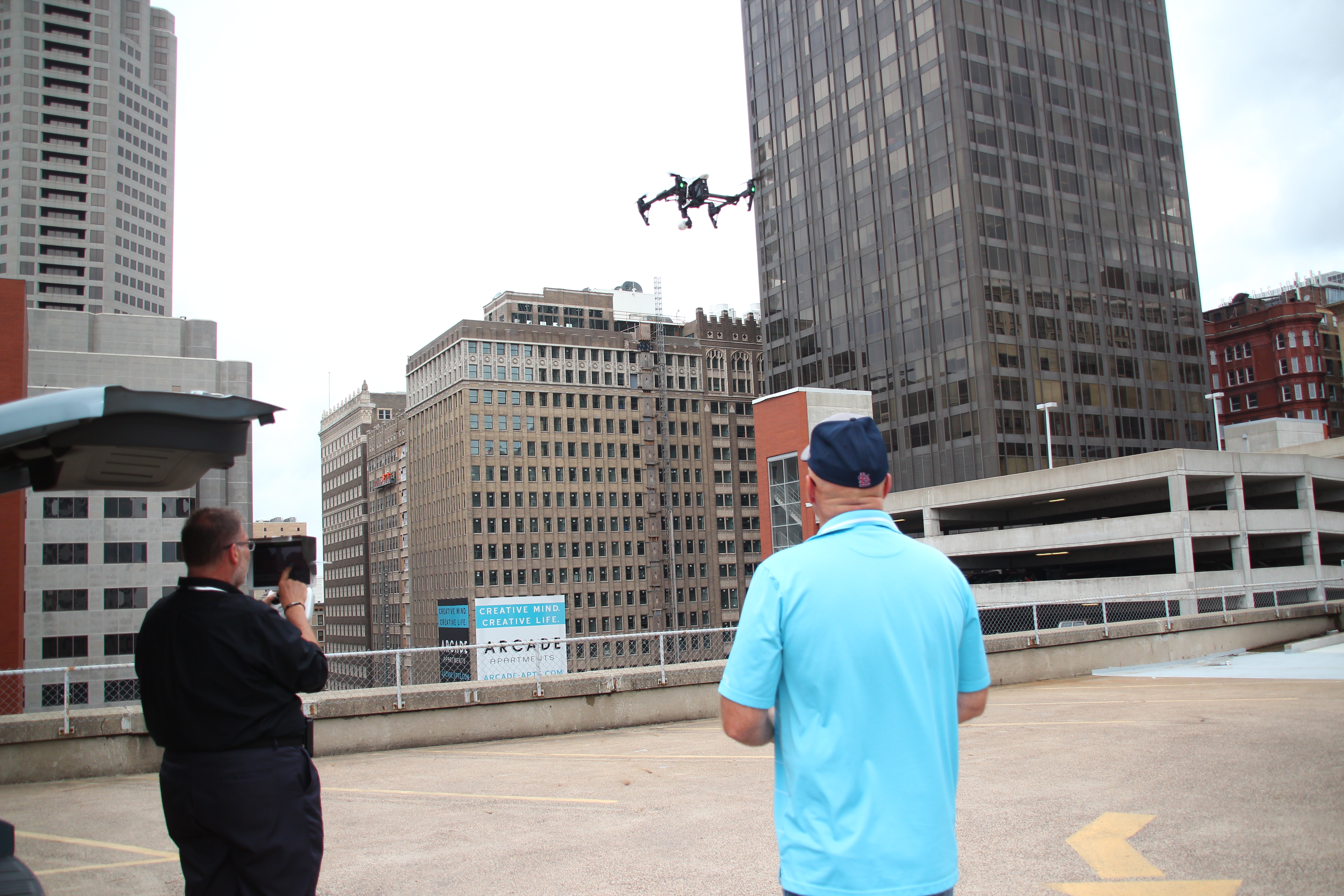
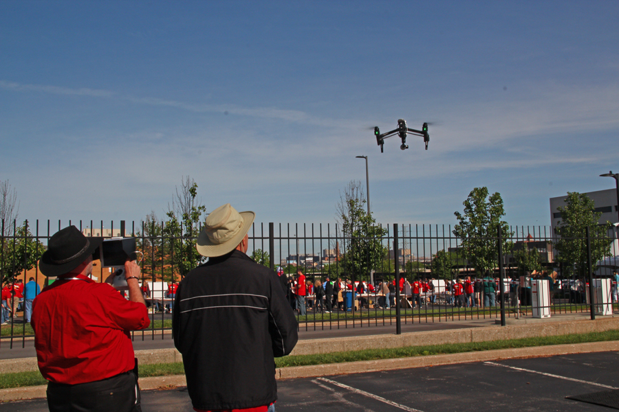
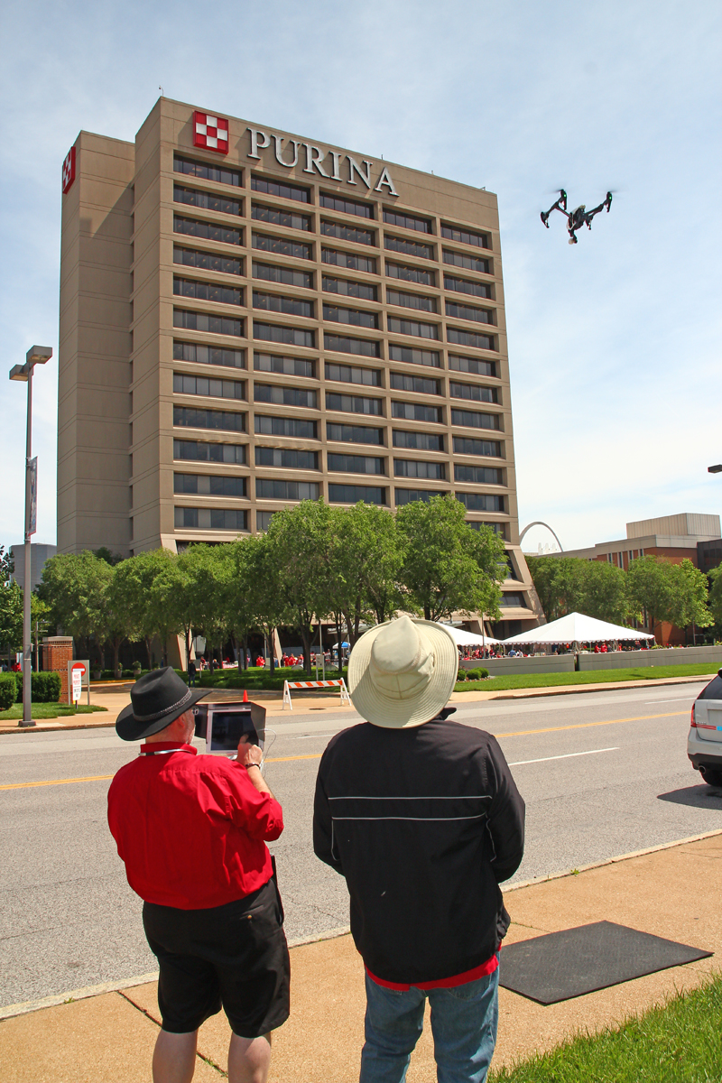
When most people think about drones, they think about aerial photography, cinematic video, and dramatic overhead perspectives. Those deliverables are valuable, especially for marketing, branding, documentation, and public-facing communications. But for many businesses and organizations, the real value of drone technology goes far beyond visuals. In many cases, what matters most is not simply seeing a property from above, but understanding it with greater precision.
That is where LiDAR drone services come in.
For companies, institutions, developers, engineers, industrial operators, and property stakeholders in the St. Louis region, LiDAR can provide a more detailed and useful understanding of land, surfaces, elevation, and spatial relationships. It is not just another drone option. It is a specialized form of aerial data acquisition that can support planning, analysis, measurement, and operational decision-making in ways standard photography alone cannot.
What LiDAR drone services mean for commercial clients
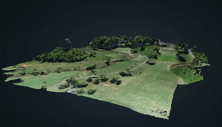
LiDAR stands for Light Detection and Ranging. In practical terms, LiDAR-equipped drones collect detailed three-dimensional information by sending laser pulses toward the ground and measuring their return. That captured data is then processed into highly useful mapping and modeling outputs.
For business clients, the significance is straightforward. LiDAR is not primarily about aesthetics. It is about usable information.
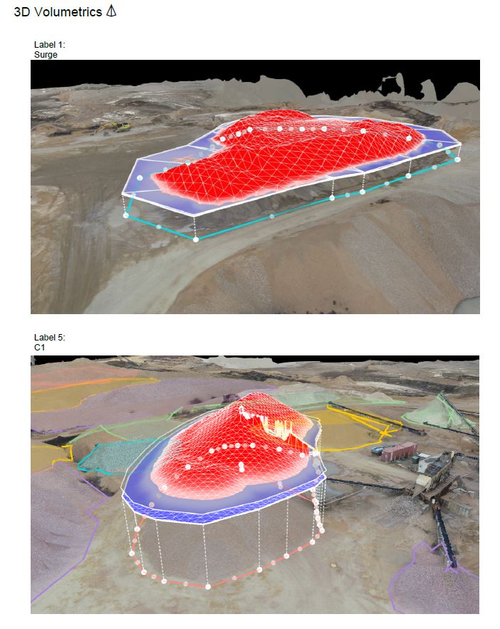
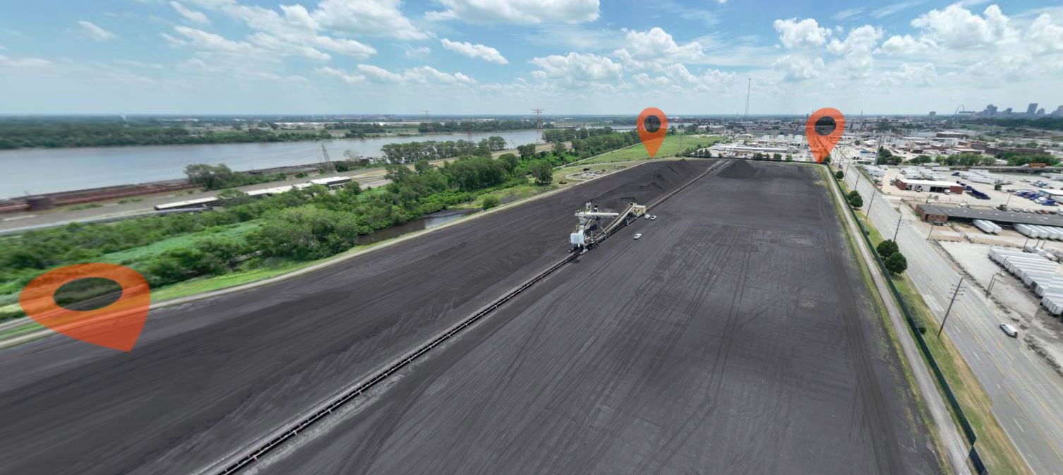
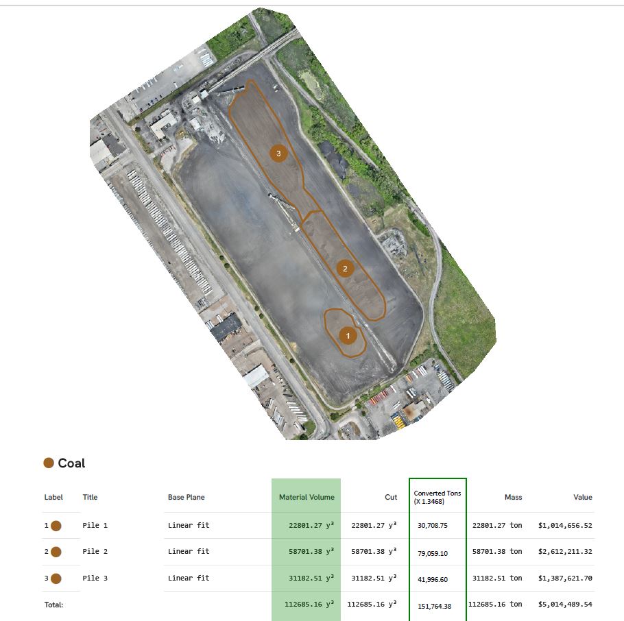
That information can help organizations better understand terrain, elevation changes, site conditions, drainage paths, structural relationships, stockpile volumes, access constraints, and other physical details that are often difficult or inefficient to evaluate from the ground. On some projects, standard drone imaging is enough. On others, the project demands more technical data, more measurable outputs, and a better foundation for decision-making.
LiDAR is often the better solution when the question is not, “How does the site look?” but rather, “What exactly is happening across this site, and how can we measure it accurately enough to act on it?”
Why LiDAR matters in St. Louis
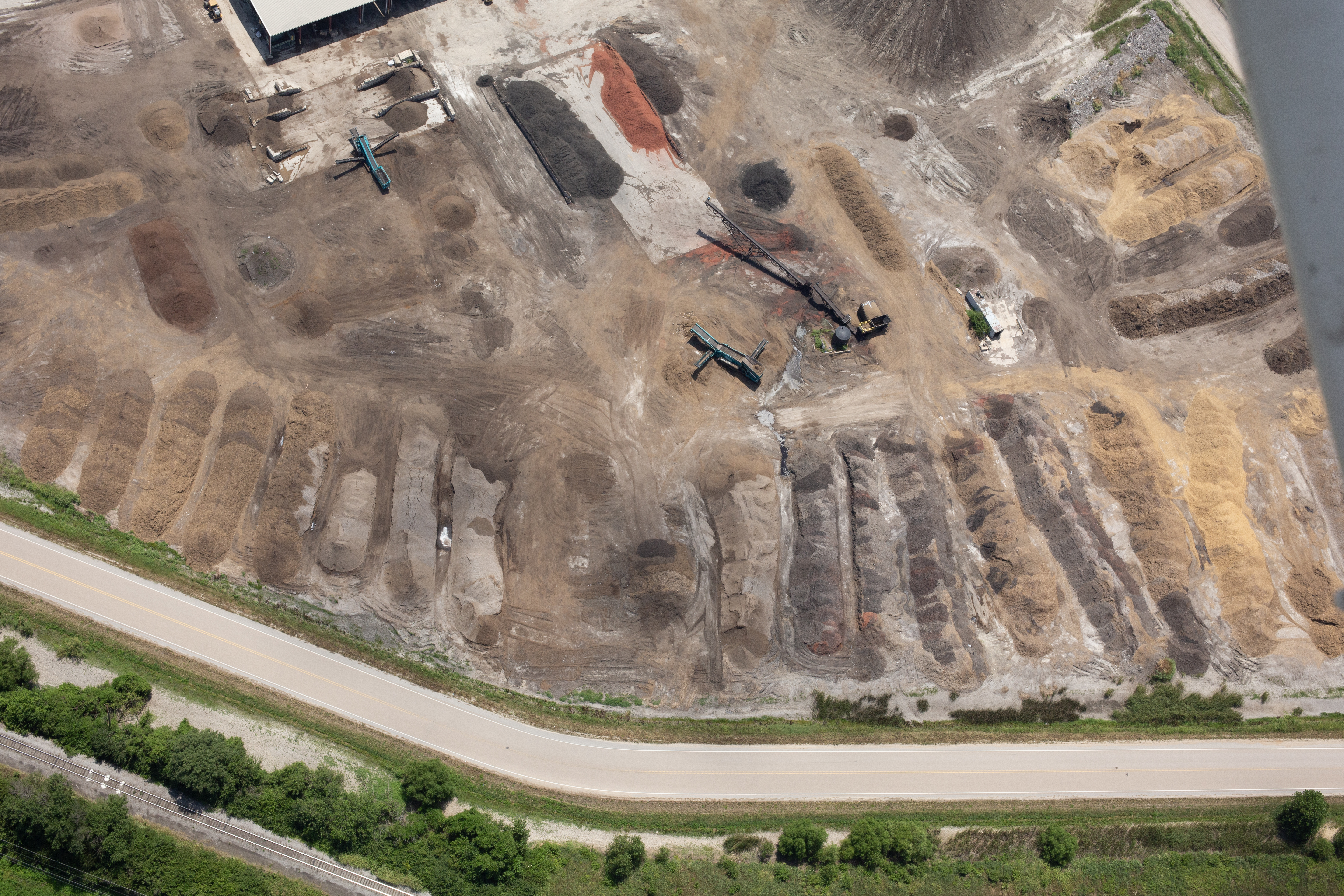
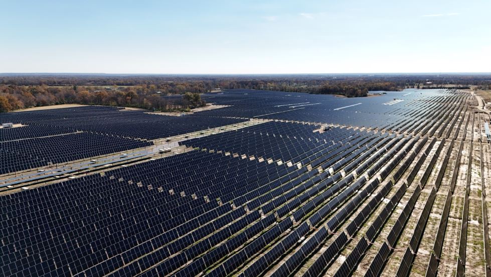
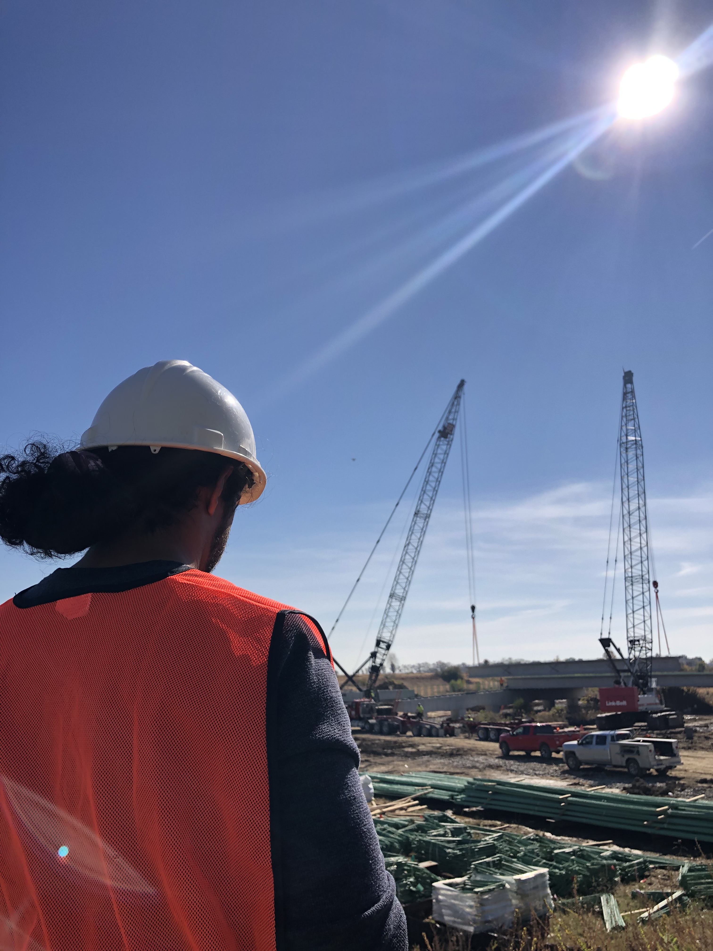
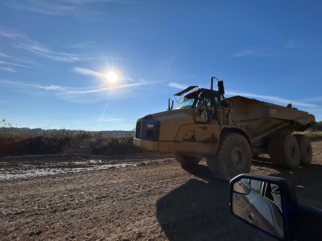
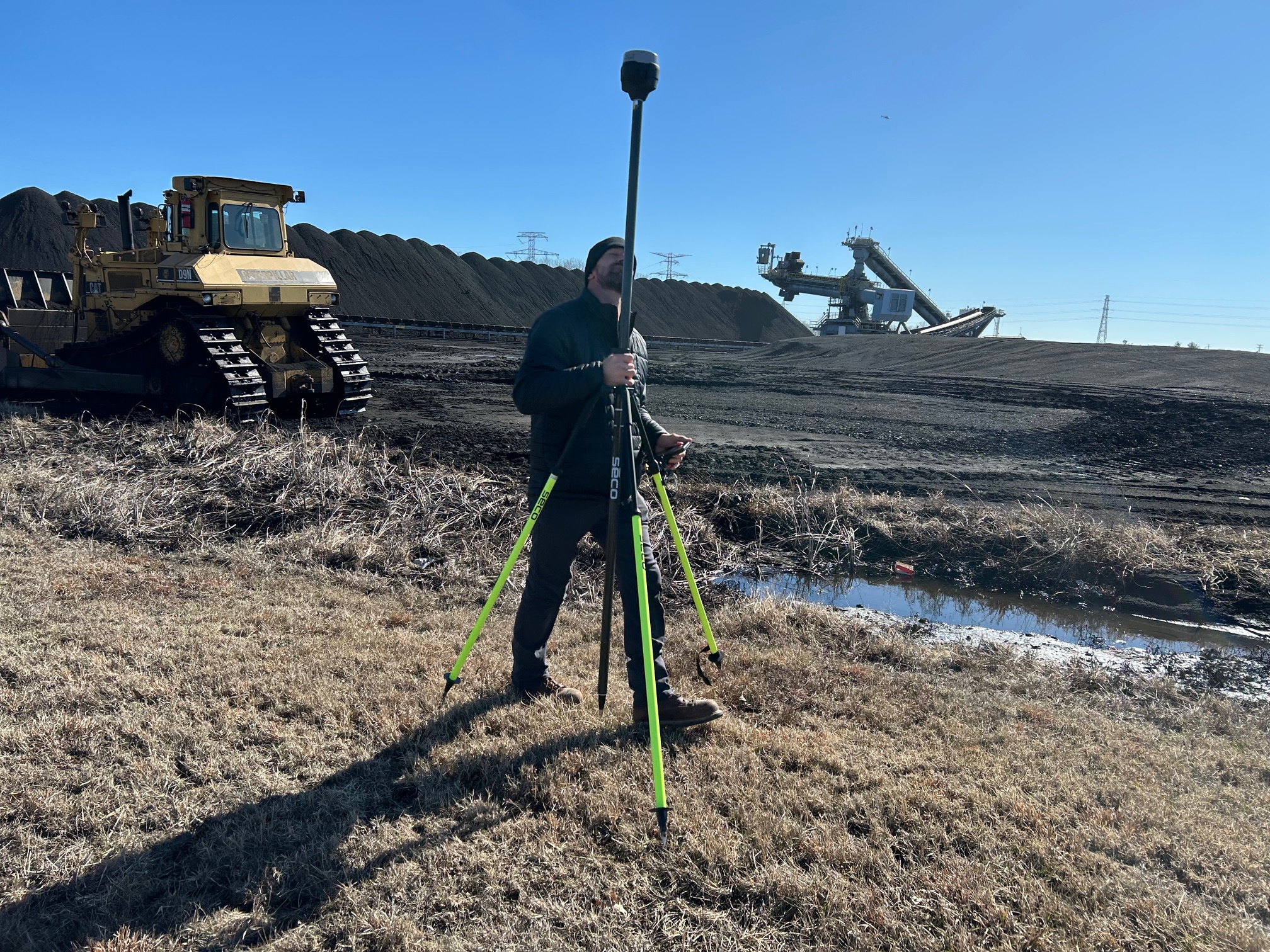
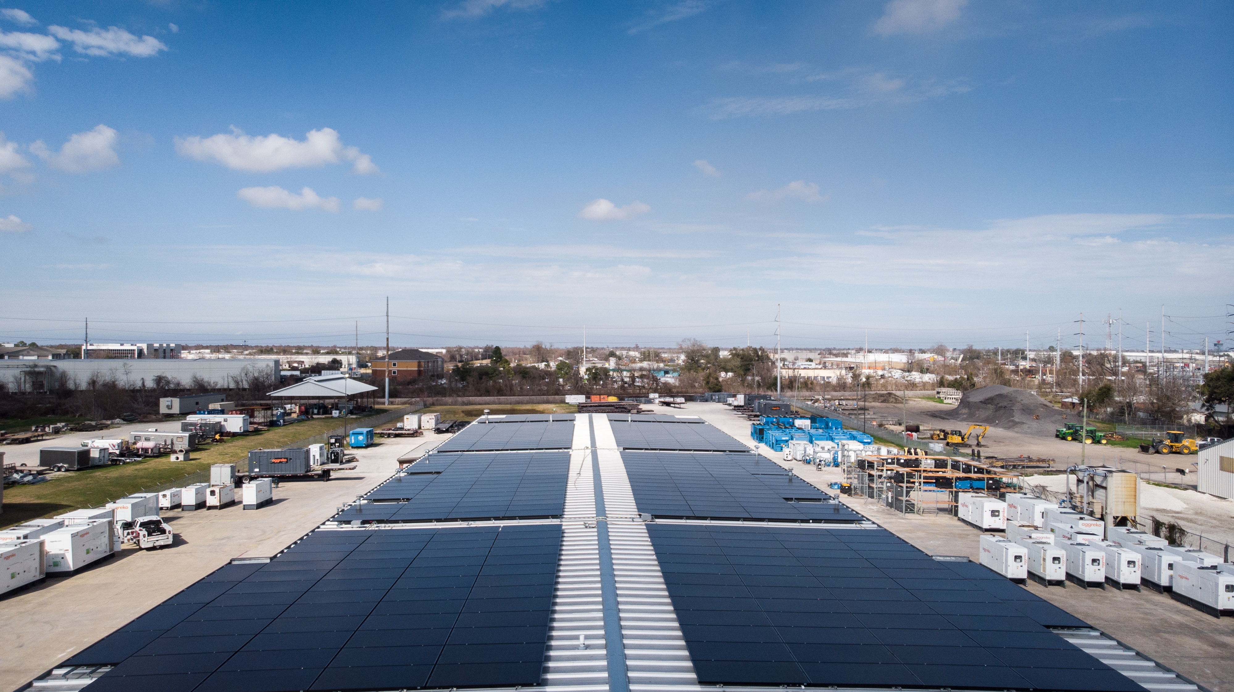
St. Louis presents a broad range of environments where LiDAR can be useful. Industrial sites, construction projects, large commercial properties, institutional campuses, utility corridors, transportation infrastructure, distribution facilities, and redevelopment parcels all present conditions where accurate aerial data can add real value.
Some projects involve uneven grade. Others involve large tracts of land. Some require recurring documentation over time. Others need better topographic understanding before planning, design, maintenance, or investment decisions move forward. In those situations, LiDAR can become a strategic tool rather than just a technical upgrade.
For organizations in St. Louis, this matters because local projects often involve active operations, tight schedules, difficult access, and the need to communicate clearly with multiple stakeholders. A properly executed LiDAR drone mission can create a common reference point for internal teams, outside consultants, and decision makers who need a better understanding of site conditions without relying on guesswork.
The difference between LiDAR and standard aerial imaging
Traditional aerial photography and photogrammetry remain important tools, and they are often highly effective. High-resolution drone imagery can document properties beautifully, create compelling visuals for stakeholders, and support progress reporting or inspection workflows.
LiDAR serves a different function.
Instead of relying mainly on photographs, LiDAR focuses on measurement and depth information. It is especially useful when elevation, terrain modeling, and surface relationships matter more than the image itself. In many cases, businesses use both. Photography may be used for communication, branding, and visual reporting, while LiDAR provides the technical layer that supports planning and analysis.
That distinction is important because many buyers initially assume all drone services are interchangeable. They are not. The right tool depends on the goal. If the objective is presentation, imagery may be enough. If the objective is surface intelligence, mapping, or measurable site understanding, LiDAR may be the better investment.
Common business uses for LiDAR drone services
LiDAR can serve a wide range of commercial and organizational needs. In the St. Louis market, it is especially relevant where properties are large, complex, active, or difficult to assess from the ground alone.
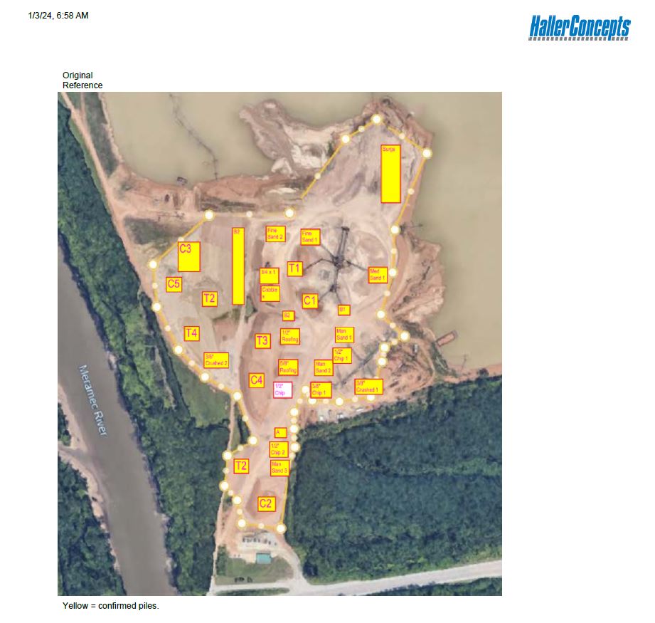
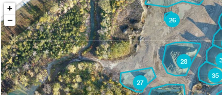
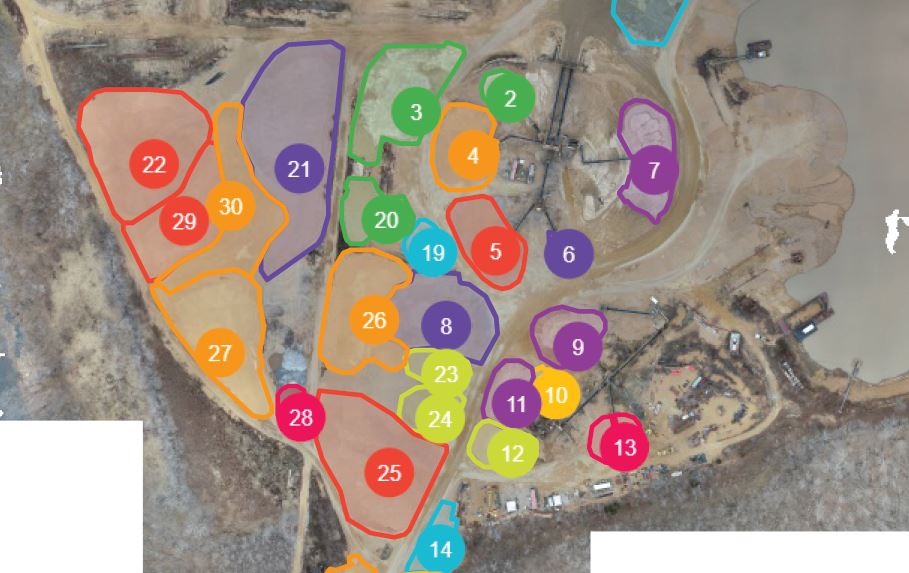
Typical uses include topographic mapping, terrain modeling, volume measurement, infrastructure documentation, development planning, roof and facility analysis, drainage evaluation support, site condition documentation, and change tracking over time. It can also be valuable on sites where vegetation, uneven ground, access limitations, or operational constraints make traditional field measurement slower or less efficient.
For some clients, the greatest value is speed. For others, it is coverage. For others, it is the ability to capture a site once and use that dataset repeatedly for multiple internal purposes.
That is one of the strongest business cases for LiDAR. A well-planned drone mission can support engineering discussions, operations planning, executive review, consultant coordination, and even presentation materials, all from the same site visit.
Better data leads to better decisions
Decision makers rarely benefit from collecting data for its own sake. They benefit when data reduces uncertainty.
That is why LiDAR is so useful. It helps organizations make better judgments about land, facilities, assets, layouts, logistics, and physical constraints. It helps reduce reliance on assumptions, especially when sites are too large, too active, or too inconsistent to understand fully from limited ground observation.
For example, a construction or development team may want a more reliable understanding of grade and terrain before moving deeper into planning. A commercial property owner may want accurate documentation of a large parcel before improvements or redevelopment. An industrial client may need a clearer view of operational surfaces and site relationships. A facilities team may need better documentation for long-term management or capital planning.
In all of those cases, the core value is the same: better information supports better decisions.
Why experience matters in LiDAR projects
LiDAR is not a commodity service. The quality of the final outcome depends on more than putting a drone in the air.
A successful project requires mission planning, site awareness, safety management, data capture discipline, thoughtful processing, and a clear understanding of the client’s intended use. It also requires knowing what the client actually needs at the end of the job.
That is a critical point. The flight is only part of the process. The real value lies in the deliverables and how useful they are after the mission is complete.
Experienced providers think beyond the collection phase. They think about how the information will be used by the client, how it needs to be organized, how it may integrate into broader production or reporting needs, and how to structure the project so the client gets more than raw drone output.
For business and organizational clients, that broader perspective can make a major difference in both workflow and value.
LiDAR should not be viewed in isolation
One of the biggest missed opportunities in commercial drone work is treating technical data and visual storytelling as separate worlds. In reality, many projects benefit from both.
A company may need LiDAR for measurement or mapping, but also need aerial photography for internal presentations, video for stakeholder communications, or ground-based imagery for marketing and documentation. A single production strategy can often produce multiple useful asset types from one coordinated effort.
That kind of integration matters for organizations that care about efficiency. When one experienced team can support aerial capture, technical workflows, and polished visual content, the result is often more streamlined, more consistent, and more cost-effective than hiring separate vendors for each need.
For that reason, LiDAR drone services are often most valuable when they are part of a larger media and documentation strategy rather than treated as a standalone specialty.
What businesses should look for in a LiDAR drone provider
When evaluating a LiDAR drone company in St. Louis, buyers should look beyond generic claims about equipment. The more important questions involve experience, workflow, deliverables, and operational discipline.
A serious provider should be able to understand the business objective behind the project, not just the flight request. They should know how to plan for active sites, complex environments, and location-specific needs. They should be able to explain how the mission supports the client’s broader goals and what types of outputs will be most useful once the project is complete.
Just as importantly, they should understand that many clients need both technical accuracy and presentable, business-friendly results. That may mean creating content that works for engineers, operations teams, executives, marketers, or outside partners at the same time.
This is where experience in both drone services and full production support becomes especially valuable.
The business case for LiDAR in the St. Louis region
In today’s market, organizations are under pressure to move faster, manage risk more carefully, and make more informed use of budgets. LiDAR supports those goals by helping teams gather high-value site data efficiently and turn it into something actionable.
For some clients, the return comes from improving project understanding early. For others, it comes from documenting conditions before changes occur. For others, it comes from supporting more efficient planning, communication, and coordination across teams.
In each case, the larger point is the same. LiDAR is not simply a technology add-on. It is a practical business tool when the job calls for more than imagery and when precision matters.
That is especially true in a city and region like St. Louis, where commercial and industrial properties, mixed-use developments, active facilities, and large institutional sites often require a more advanced approach to aerial capture.
Why St Louis Drones is a strong partner for LiDAR drone services
At St Louis Drones, we understand that professional drone work has to do more than look impressive. It has to serve the client’s objectives, fit the production need, and deliver useful results. Whether the goal is technical site understanding, visual documentation, branded media, or a combination of all three, experience and production discipline matter.
St Louis Drones is a full-service professional commercial photography and video production company with the right equipment and creative crew service experience for successful image acquisition. We offer full-service studio and location video and photography, as well as editing, post-production and licensed drone services. St Louis Drones can customize your productions for diverse types of media requirements. Repurposing your photography and video branding to gain more traction is another specialty.
We are well-versed in all file types and styles of media and accompanying software. We use the latest in Artificial Intelligence for all our media services. Our private studio lighting and visual setup is perfect for small productions and interview scenes. Our studio is large enough to incorporate props to round out your set. We support every aspect of your production, from setting up a private, custom interview studio to supplying professional sound and camera operators, as well as providing the right equipment, ensuring your next video production is seamless and successful. We can fly our specialized drones indoors.
As a full-service video and photography production corporation, since 1982, St Louis Drones has worked with many businesses, marketing firms, and creative agencies in the St. Louis area for their marketing photography and video. When your project requires advanced drone capability, experienced aerial production, and a team that understands both technical results and polished media deliverables, St Louis Drones brings the experience, flexibility, and creative support to help you get the most from your aerial production.
Rob Haller 314-604-6544 stlouisdrones@gmail.com
