Monthly Archives: February 2020

Drone Photography and Video Production Services for St Louis

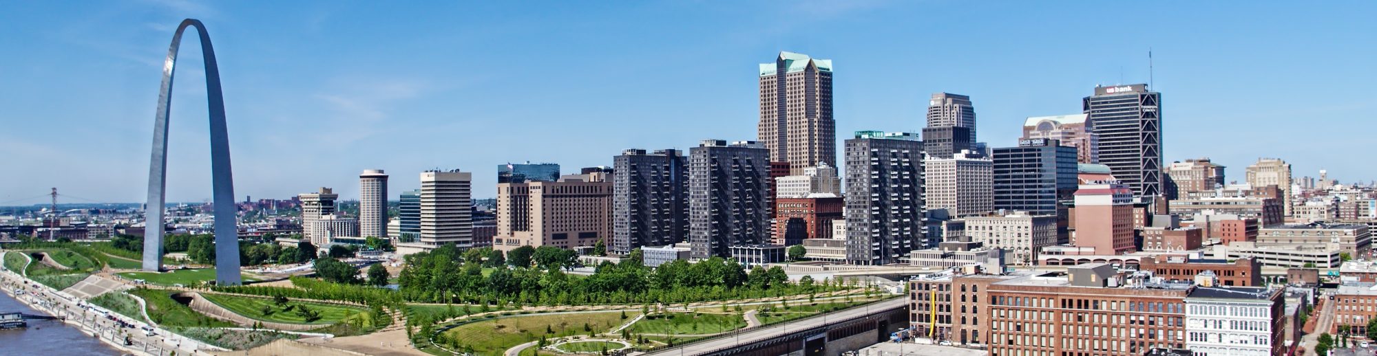
Aerial Drone Shooting and editing commercial and residential real estate is one of our specialties.

We understand that sometimes a standard video edit, or simple photo footage is not enough to peak a potential client’s interest…

So we specialize in editing your videos with custom “callouts” and high end creative graphics to establish neighboring properties and businesses, local demographics and info a high end video that will compel your audience.

st louis commercial real estate drone photography

We can capture footage both inside and from the air. We can also make orthomosaic maps of the property with an astonishing level of detail.

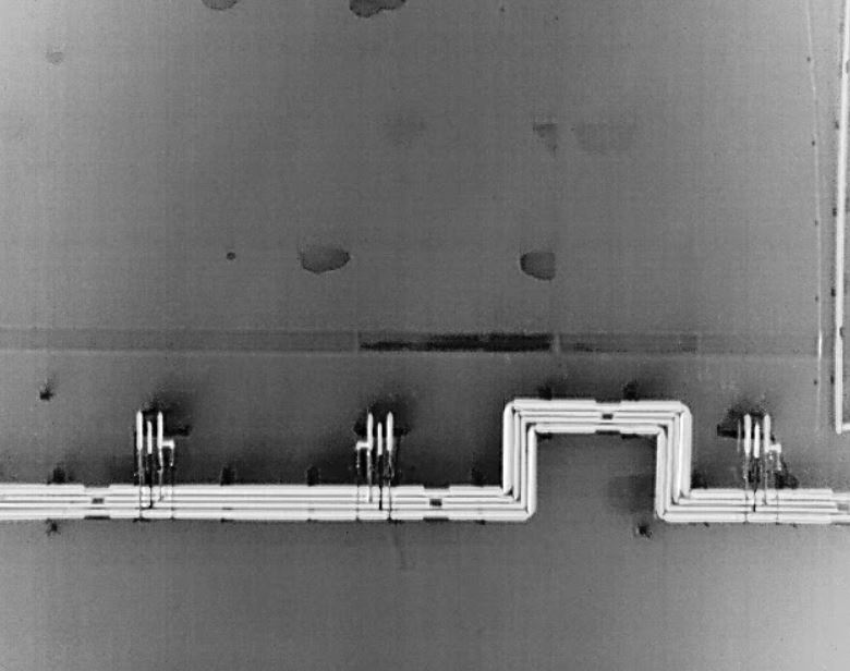
drone thermal industrial roof

Many of our first jobs were residential real estate listings, combing the brokerages around town, looking for those first jobs as drone pilots.

We’ve got packages to fit whatever your marketing budget may be.

stlouisdrones@gmail.com
Robert Haller, Drone Specialist
314-604-6544

3D Orthomosaic Mapping and FLIR Thermal Imaging

Orthomosaic Imagery

Drone Aerial Mapping

Map out your manufacturing plant, or your property to check for elevation, draining or highlight specific areas and show them in 3D.

Othomosaic is perfect for all of the above.  It consolidates numerous pictures into a single, highly detailed one you can zoom in on any part.

Drone Infrared and Thermal Imaging

We’re sUAS Thermography Level I certified and can provide you the drone infrared photos and/or videos of your plant location of property

Matrice 200 SUV Drone

Obstacle Avoidance – A robust Flight Autonomy system with front, bottom and upper sensors detects and avoids obstacles while enabling precision hovering so that you can fly with confidence.

Anti-Collision Beacon

Equipped with new top and bottom anti-collision beacons, the V2 drones are visible at night or in lowlight conditions, making operation in less than ideal conditions safer.

DJI AirSense

With a built-in ADS-B receiver, the DJI AirSense technology enhances airspace safety by automatically providing the operator with real-time information about nearby airplanes and helicopters.

Thermal FLIR

Join our next generation of commercial drone solutions with the XT2.

Pairing the FLIR Tau 2 thermal sensor and 4K visual camera with

DJI’s leading stabilization and machine intelligence technology,

the XT2 quickly transforms aerial data into powerful thermal insights

that save time, money – and lives.


Create Orthomosaic Maps

Orthomosaics are large, map-quality images made by combining aerial photos that have been orthorectified, or corrected for lens distortion, camera tilt, perspective, and topographic relief.


Use our drone imagery to generate high-resolution 2D maps and 3D models.  We’ll capture aerial images ideal for your type of project, process and generate orthomosaic maps and 3D models, and allow you to use your maps to measure distance, area, and volume.