
Our experts use the latest technology to create photo-realistic 3D point-cloud and mesh models of structures and landscapes, which are interactive, high-resolution and highly accurate. This allows us to create model data that is of real use to our customers and not simply a bit of eye-candy.
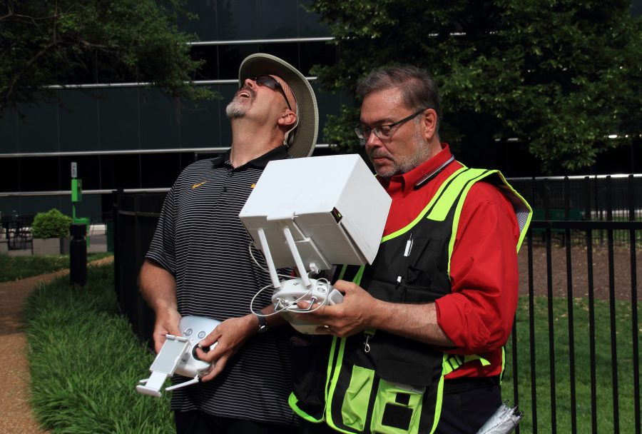
Safe to Fly 333 exemption. Two person drone crew.
Visual Inspections become:
MORE EFFICIENT. Space and structure can be modelled in immense detail once and then reviewed and re-reviewed indefinitely thereafter. With traditional inspections, the inspection team would need to revisit the site if the initial pass was not satisfactory
QUICKER. Drones can cover surfaces or structures faster than traditional methods
CHEAPER. Avoid costs associated with engaging traditional inspections teams, associated equipment and insurance costs.
COMPARABLE to previous traditional and 3d modelled inspections. A 3D model created from drone-captured data is a photo-realistic, point-in-time copy of the subject space or structure. Mapping changes over time is made possible in a way never achievable before.
MEASURABLE. Our 3D models are accurate. Engineers, Architects, Planners can measure structures and landscapes, the height of stockpiles or the depth of excavations to a degree of accuracy acceptable to regulatory bodies and inspectors.
3D mapping and surveying become:
POSSIBLE in areas where manned aircraft borne LiDAR is not suitable
CHEAPER. Avoid costs associated with engaging traditional methods, associated equipment and insurance costs. Drone based 3D modelling is up to 5x cheaper than LiDAR for areas under 60km2*
COMPARABLE to previous traditional and 3D modelled surveys. In effect, a 3D model created from drone-captured data is a photo-realistic, point-in-time-copy of the subject (space of structure). Mapping changes over time is made possible in a way never possible before.
MEASURABLE. Our 3D models are accurate. 3D Game Designers, Surveyors and planners can use our 3D models to develop realistic simulations of current and proposed structures for use in Games, Environmental analysis among many industries
Rob Haller
314-604-6544
stlouisdrones@gmail.com
