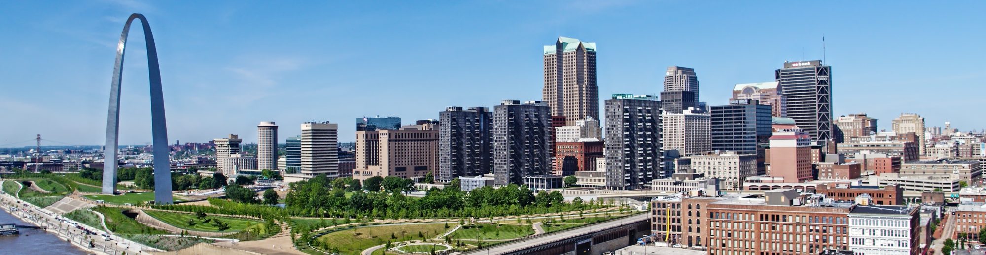
Professional commercial photography has evolved dramatically over the past several decades. Businesses and organizations that once relied exclusively on traditional ground-level photography now have access to sophisticated aerial imaging systems capable of capturing unique perspectives, detailed geographic information, and compelling cinematic video.
For marketing directors, business owners, corporate communications professionals, architects, engineers, and advertising agencies, drone photography represents far more than an opportunity to capture attractive aerial pictures.
Modern commercial drones offer a combination of creative storytelling, operational documentation, and specialized technical imaging that can support numerous business objectives.
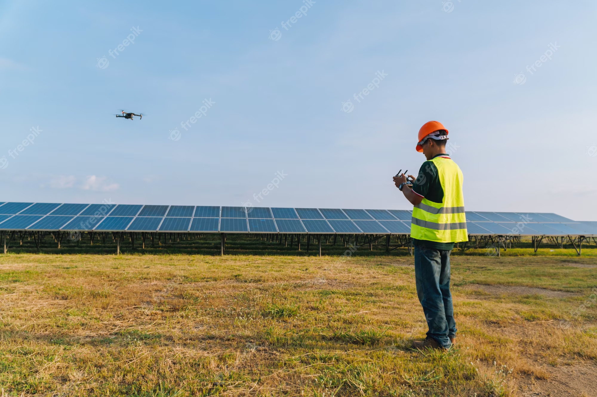
From documenting a manufacturing facility to producing cinematic promotional footage, monitoring construction progress, inspecting commercial roofing systems, and creating detailed three-dimensional property models, professional drone technology provides capabilities that traditional photography cannot easily duplicate.
However, successful drone production requires much more than owning an aircraft.
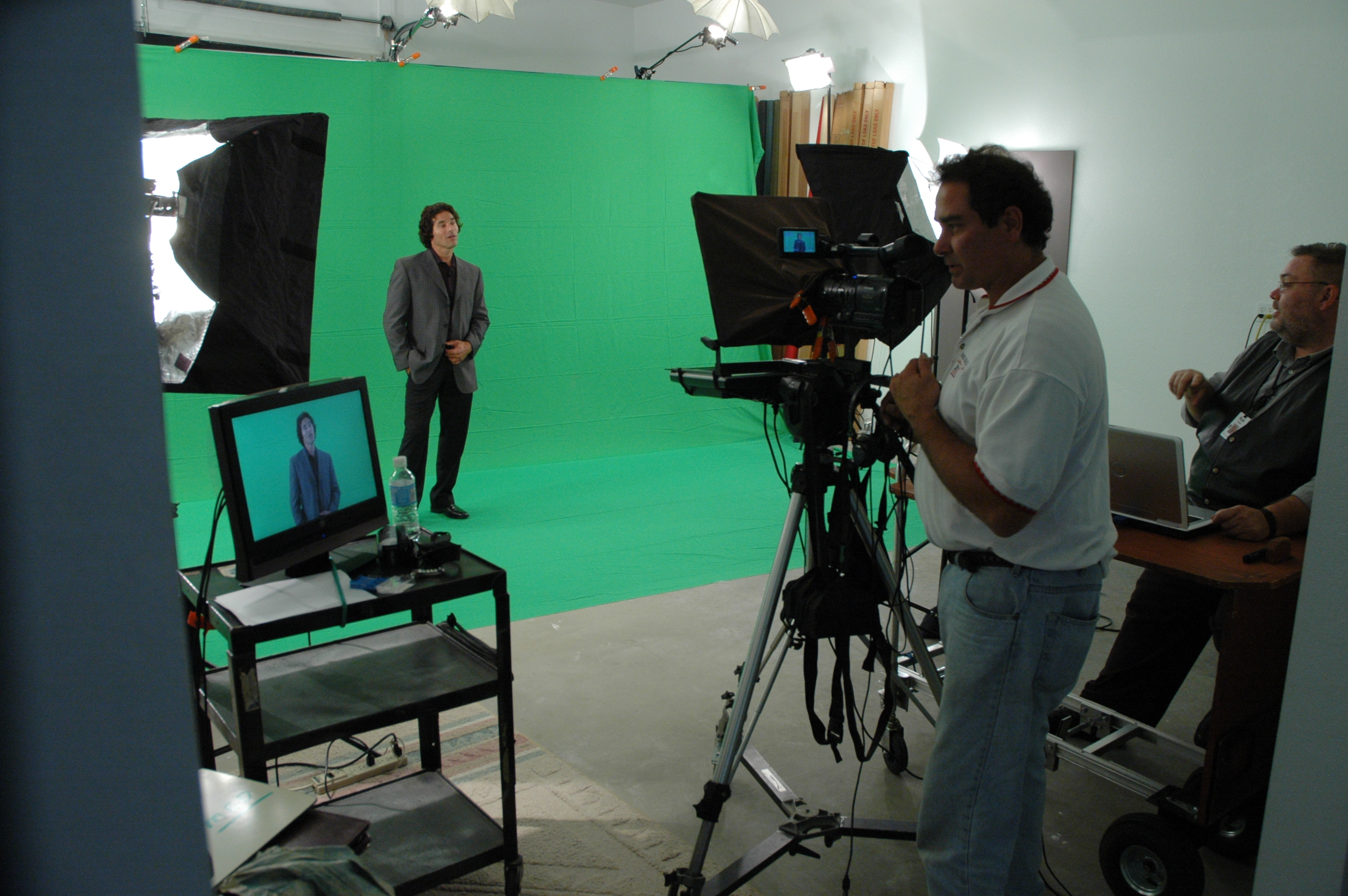

The most effective commercial drone projects combine experienced FAA-certified pilots, professional camera technology, careful flight planning, creative production expertise, and a clear understanding of the client’s business objectives.
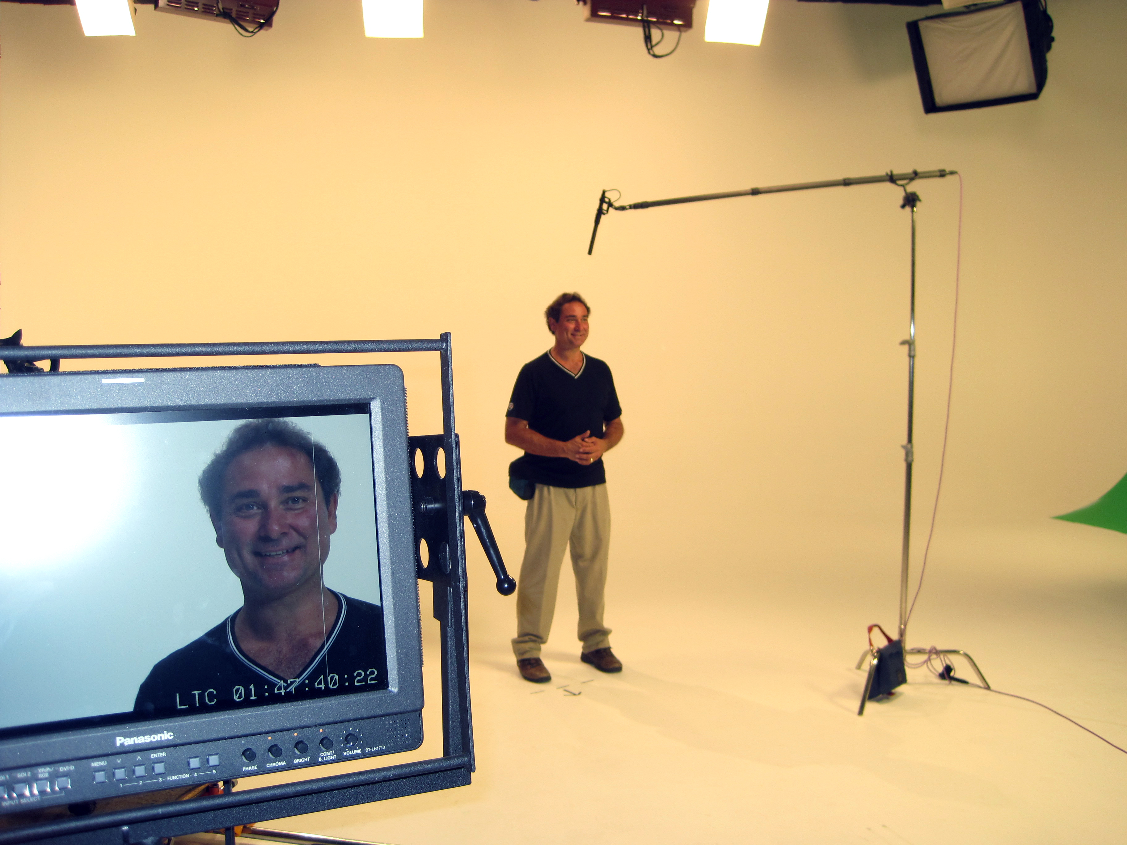
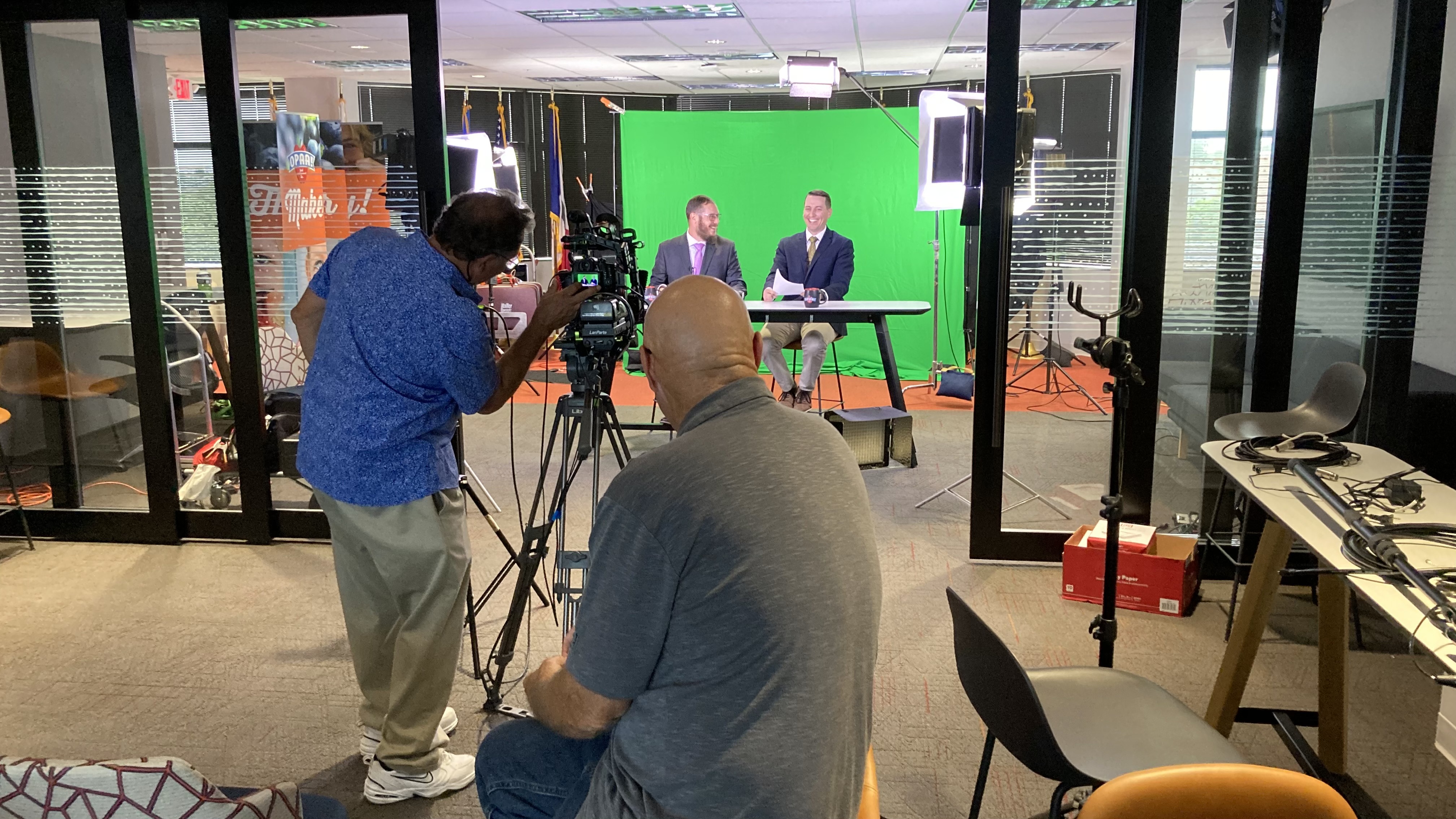
When drone imagery is integrated with professional studio photography, ground-level video, interviews, and comprehensive post-production, businesses gain access to a much more versatile collection of visual marketing and documentation resources.
Why Professional Drone Photography Has Become Essential for Business Marketing
One of the greatest advantages of aerial photography is its ability to communicate scale, location, and context.
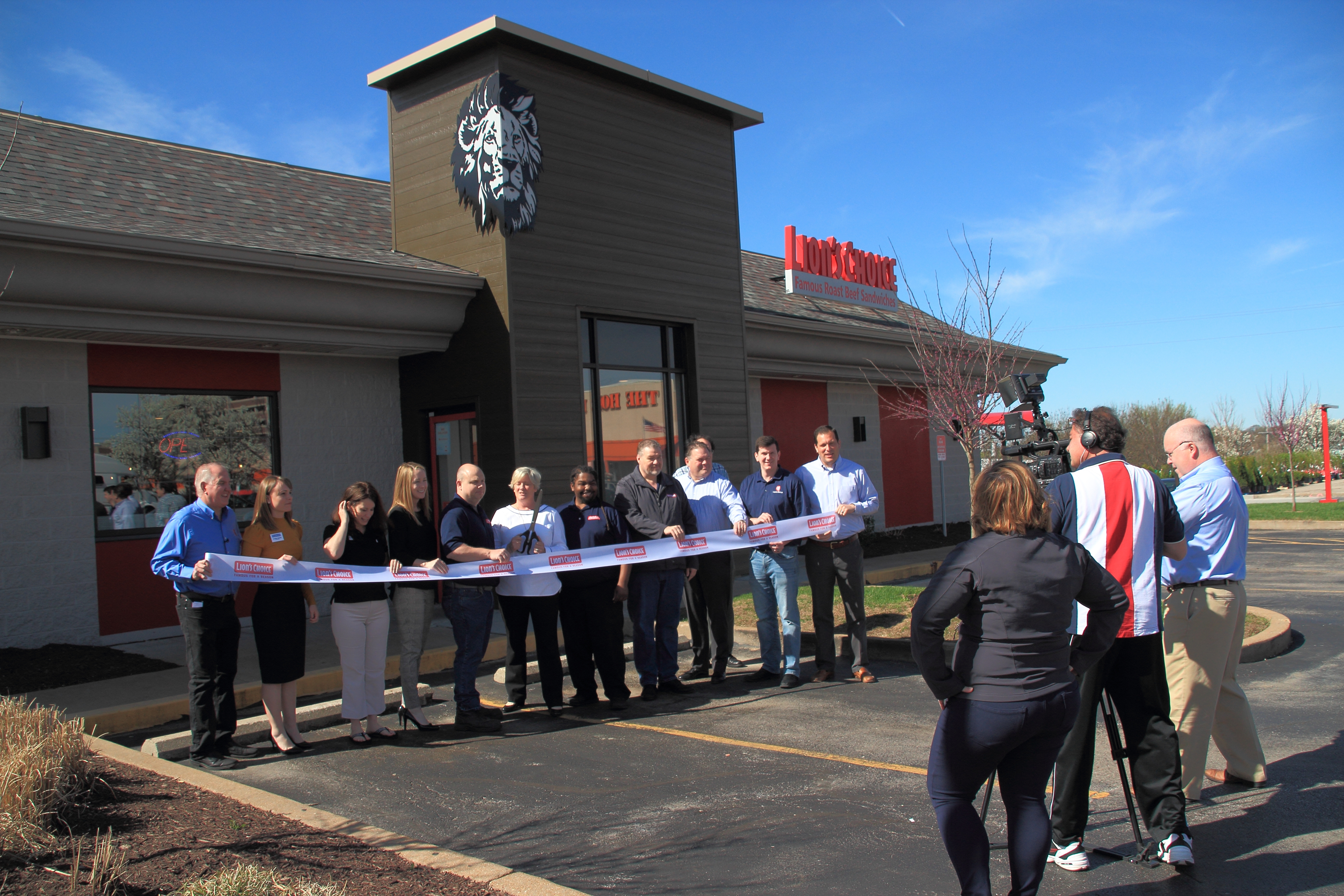

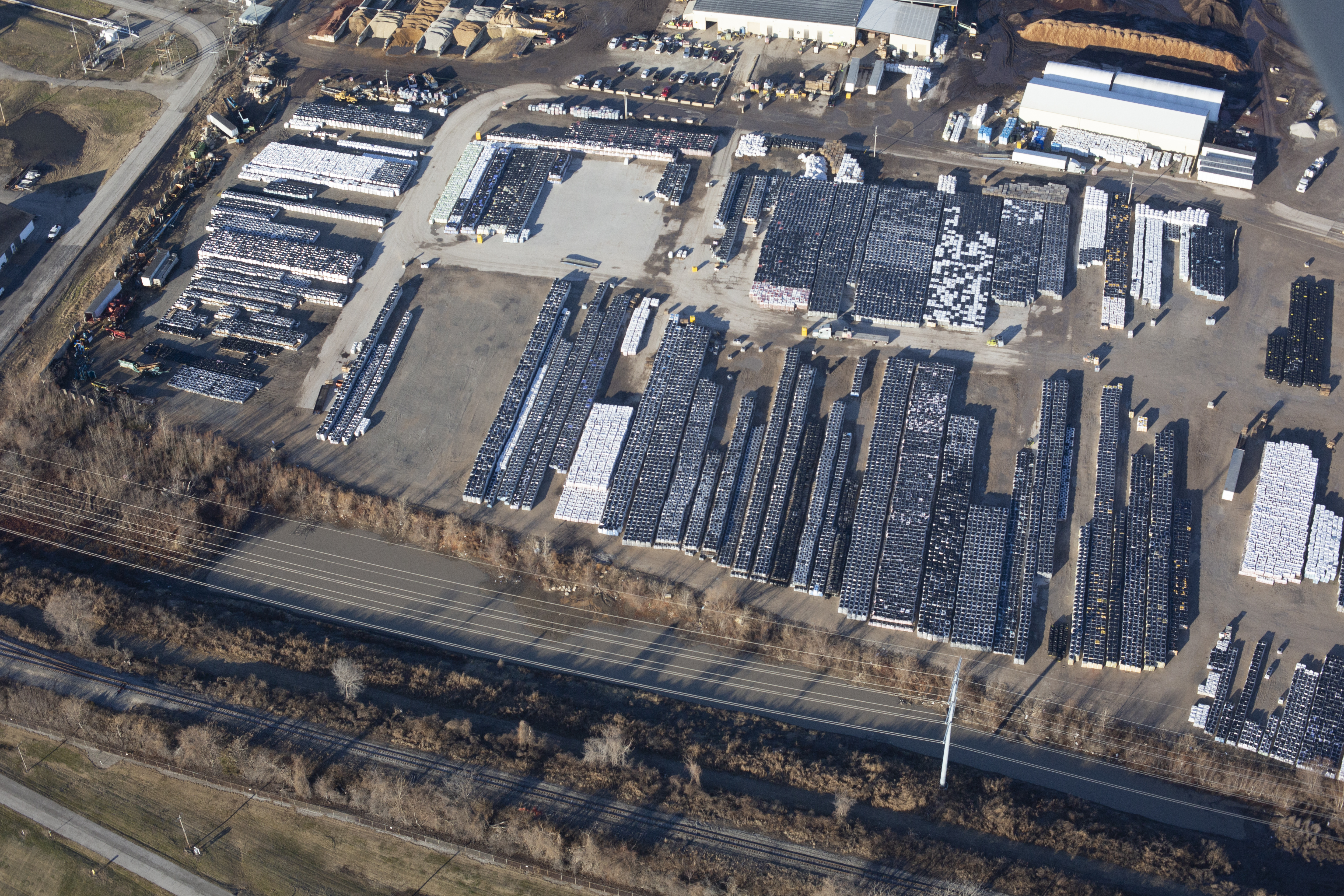
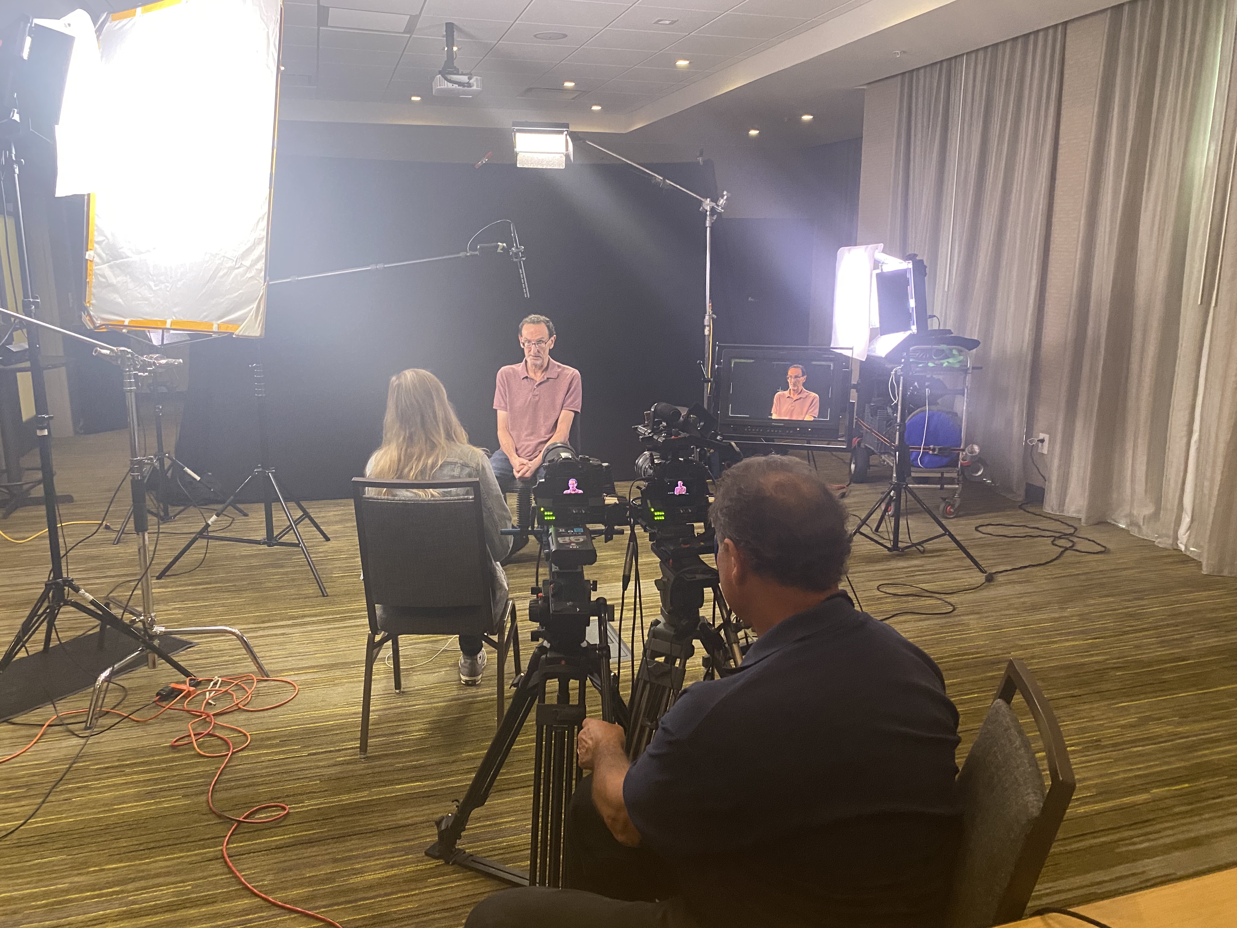
Traditional photography captures subjects from the ground. Drones introduce elevated perspectives that reveal relationships between buildings, properties, infrastructure, landscapes, and surrounding environments.
These viewpoints are particularly effective when a business wants to showcase the physical scope of its operations.
A manufacturing company may use aerial photographs to communicate the size of its production campus. A commercial real estate developer may need imagery showing building placement, transportation access, parking, and surrounding amenities.
Construction companies can document project progress, while educational institutions and healthcare organizations may utilize aerial imagery to showcase facilities and campus improvements.

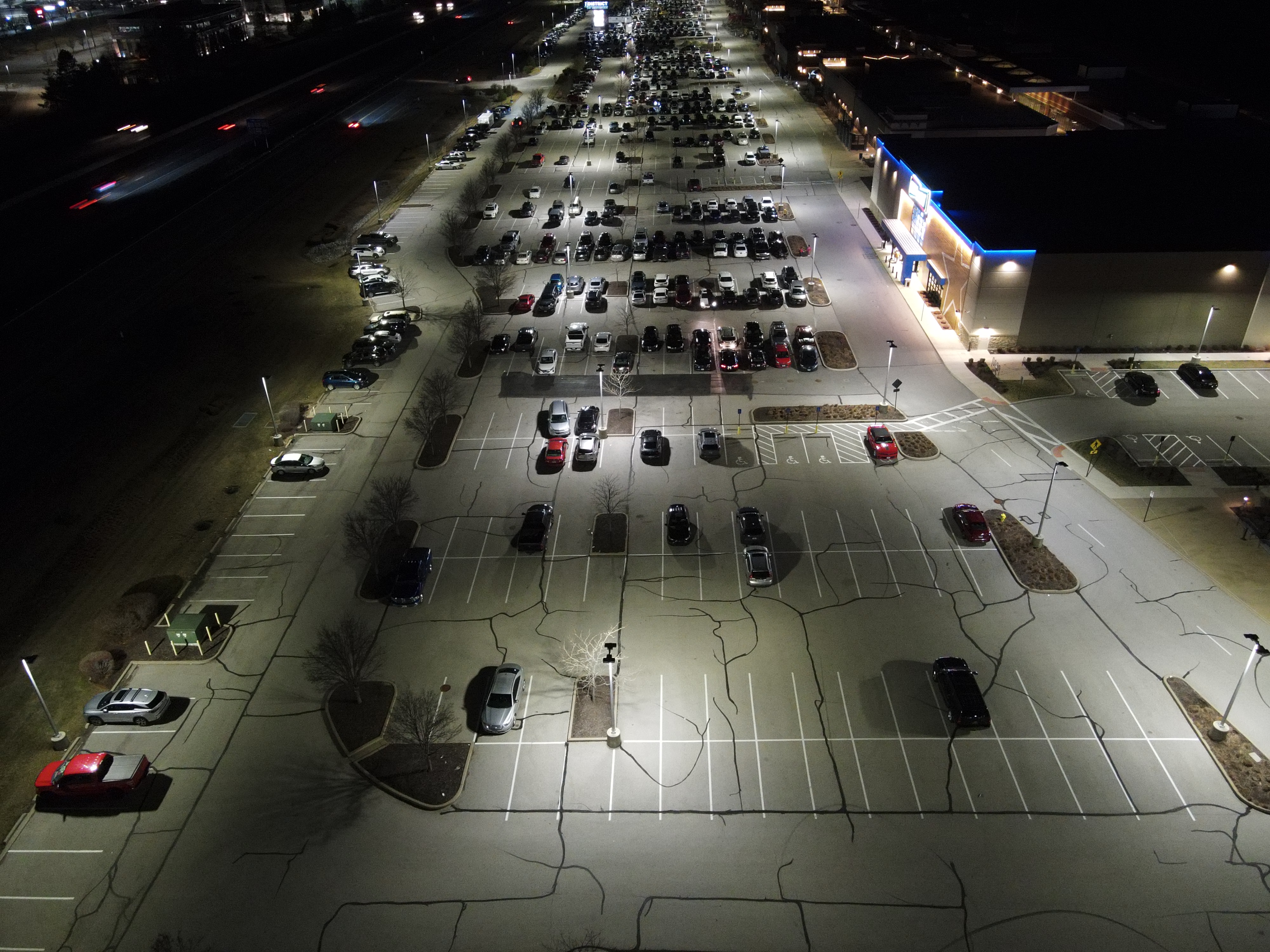
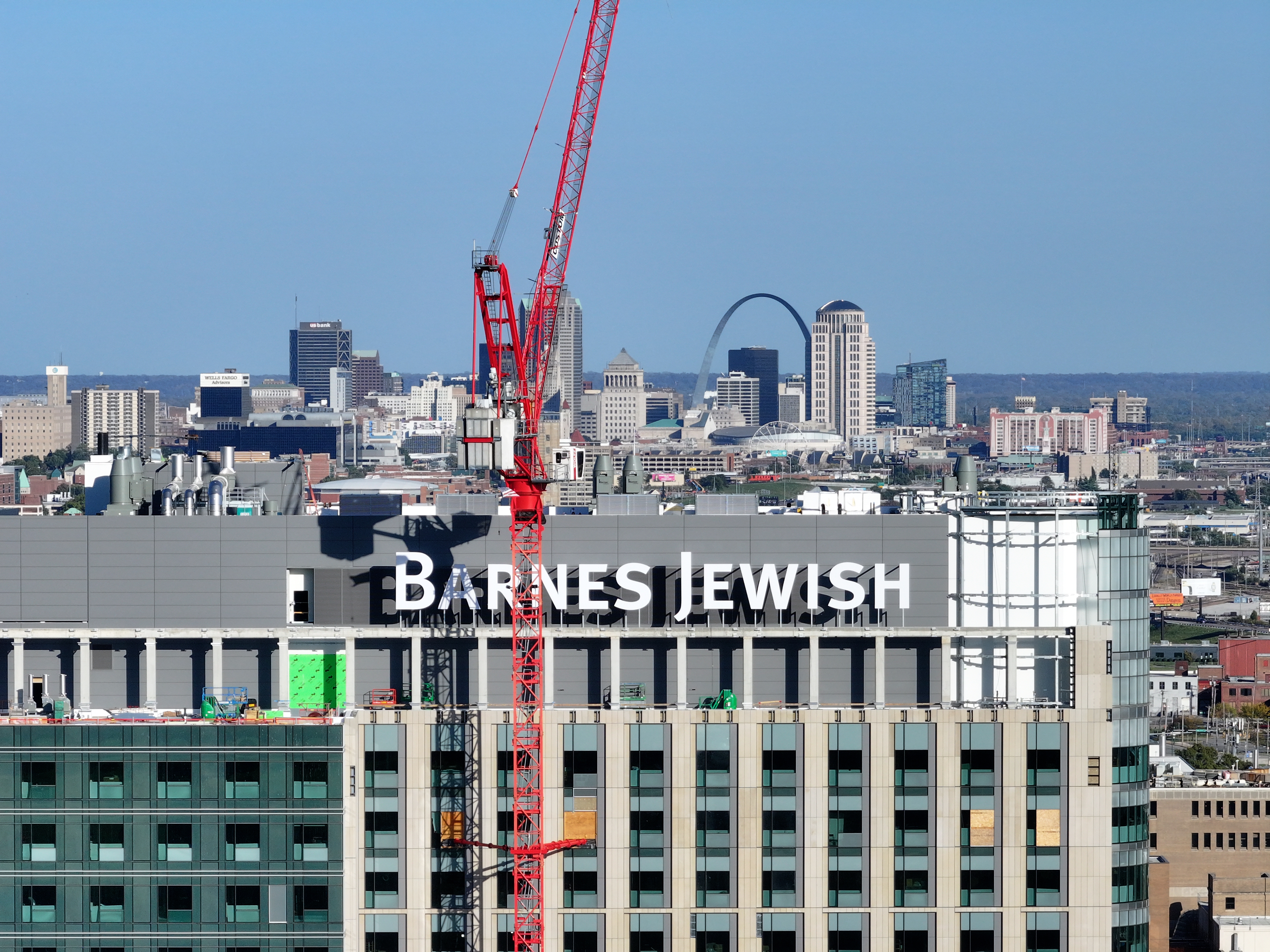
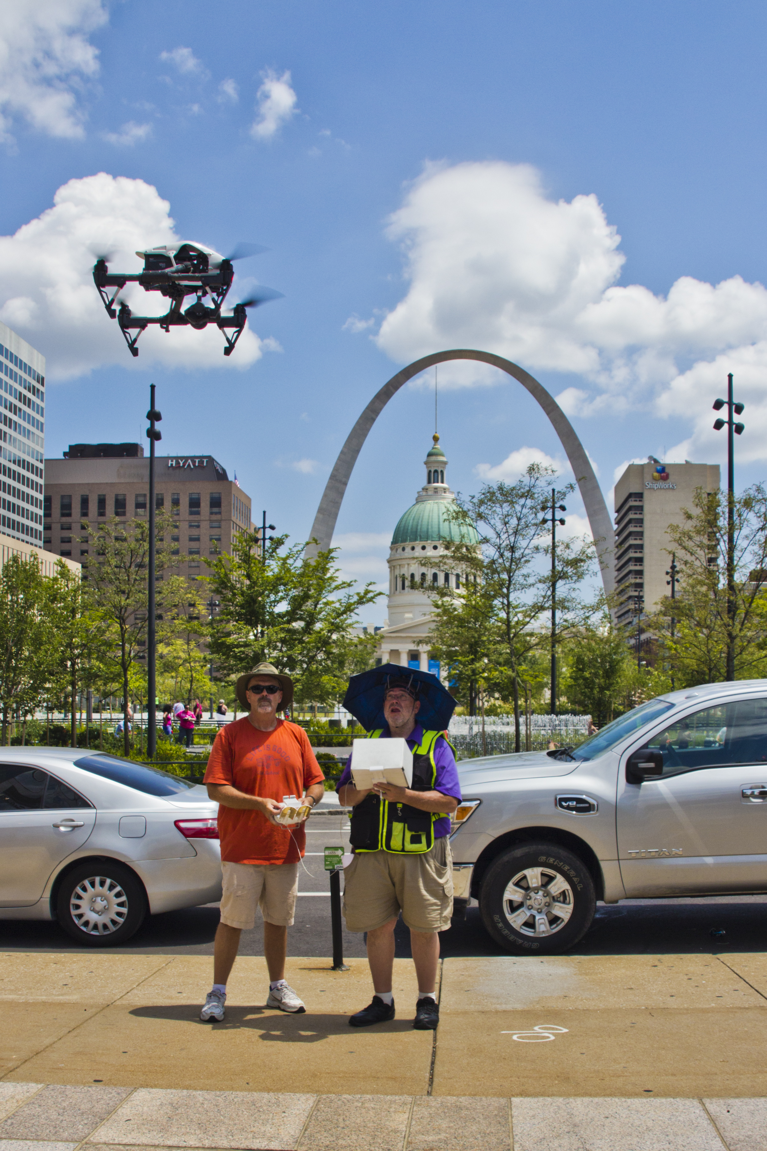
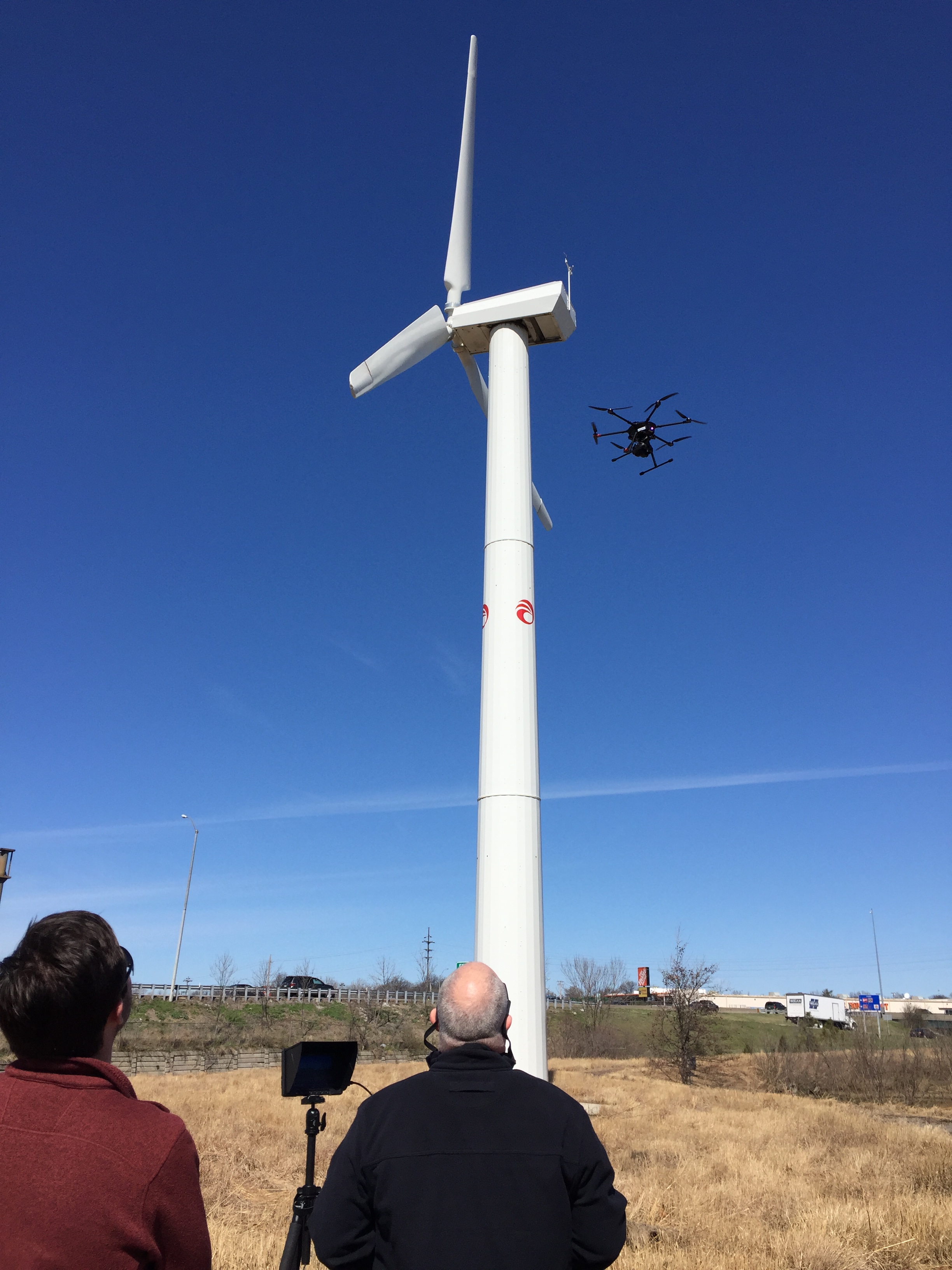
Professional drone photography is especially valuable for:
- Commercial real estate marketing and property development
- Corporate campuses and office complexes
- Manufacturing and industrial facilities
- Construction documentation and progress photography
- Architecture and commercial building photography
- Hospitality properties, resorts, and event venues
- Educational institutions and healthcare campuses
- Municipal facilities and infrastructure projects
- Advertising campaigns and corporate branding
- Environmental and land development documentation
Unlike conventional ground-level images, aerial photography can communicate a property’s physical relationships within a single comprehensive view.
For decision-makers reviewing commercial developments, large facilities, or infrastructure projects, this visual context can be extremely useful.
Drone Cinematography Adds Movement and Visual Storytelling
While still aerial photography communicates valuable information, professional drone cinematography introduces movement that can make corporate video productions more dynamic.
Smooth aerial camera movements can establish a location, approach a building, reveal a property, or follow activity across a large environment.
When carefully integrated into a video, these movements support the narrative rather than merely serving as visual decoration.
Establishing Shots Create Context
An establishing shot introduces the audience to a location and helps communicate the scale of the environment.
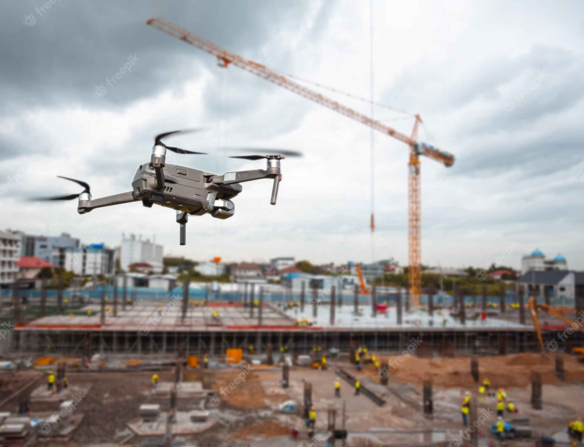
For example, a corporate video about a manufacturing operation might begin with an aerial view of the facility before transitioning to ground-level footage of employees, production equipment, and executive interviews.
The aerial footage provides context, while the ground-level images tell the more detailed story.
This combination produces a more complete visual presentation.
Cinematic Camera Movement Reinforces Brand Quality
Professional drone operators understand that effective aerial cinematography depends on carefully controlled camera movement.
Flight speed, camera angle, altitude, lighting, subject positioning, and movement direction all influence the quality of the finished footage.
Experienced operators also plan their shots around editing requirements.
A slow approach toward a corporate headquarters communicates a different impression than a sweeping lateral movement revealing an industrial facility.
Each movement should serve a deliberate visual purpose.
Indoor FPV Drone Video: A New Approach to Commercial Facility Tours
One of the most exciting developments in professional drone cinematography is the use of specialized First Person View, or FPV, aircraft.
Unlike conventional camera drones designed primarily for stabilized aerial photography, FPV systems allow experienced pilots to perform highly controlled and dynamic flight maneuvers.
Specialized compact FPV drones can also be used indoors when the environment, aircraft, and safety plan permit.
This creates opportunities for commercial video production that would otherwise require complex camera movement equipment.
How Indoor FPV Video Benefits Businesses
Imagine a promotional video that begins outside a manufacturing facility, moves through an entrance, continues along a production line, reveals specialized equipment, and concludes in a finished product display area.
A carefully planned indoor FPV sequence can create the appearance of moving continuously through the facility.
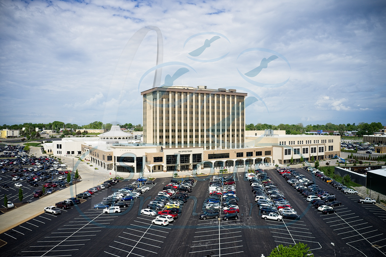

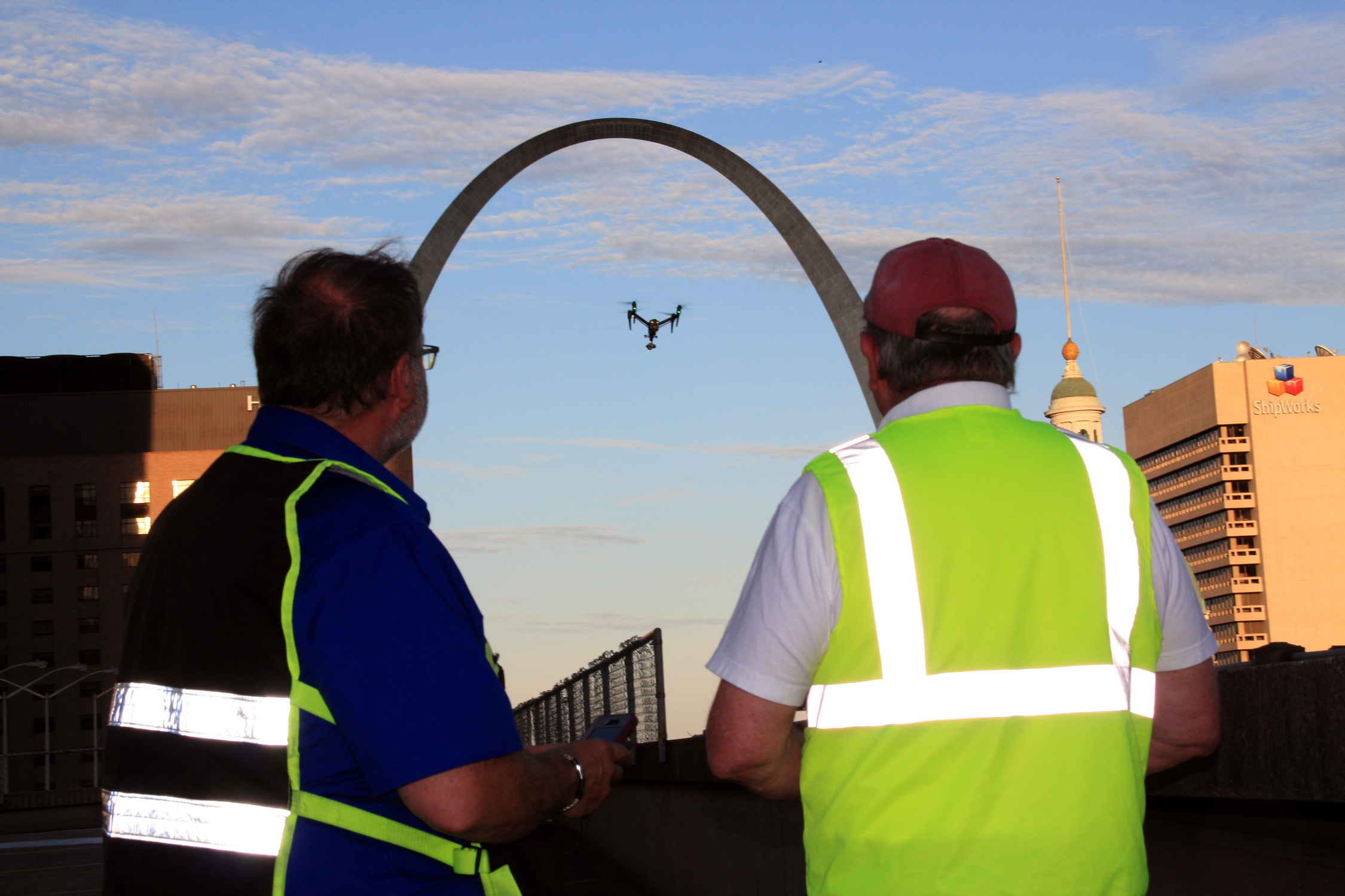
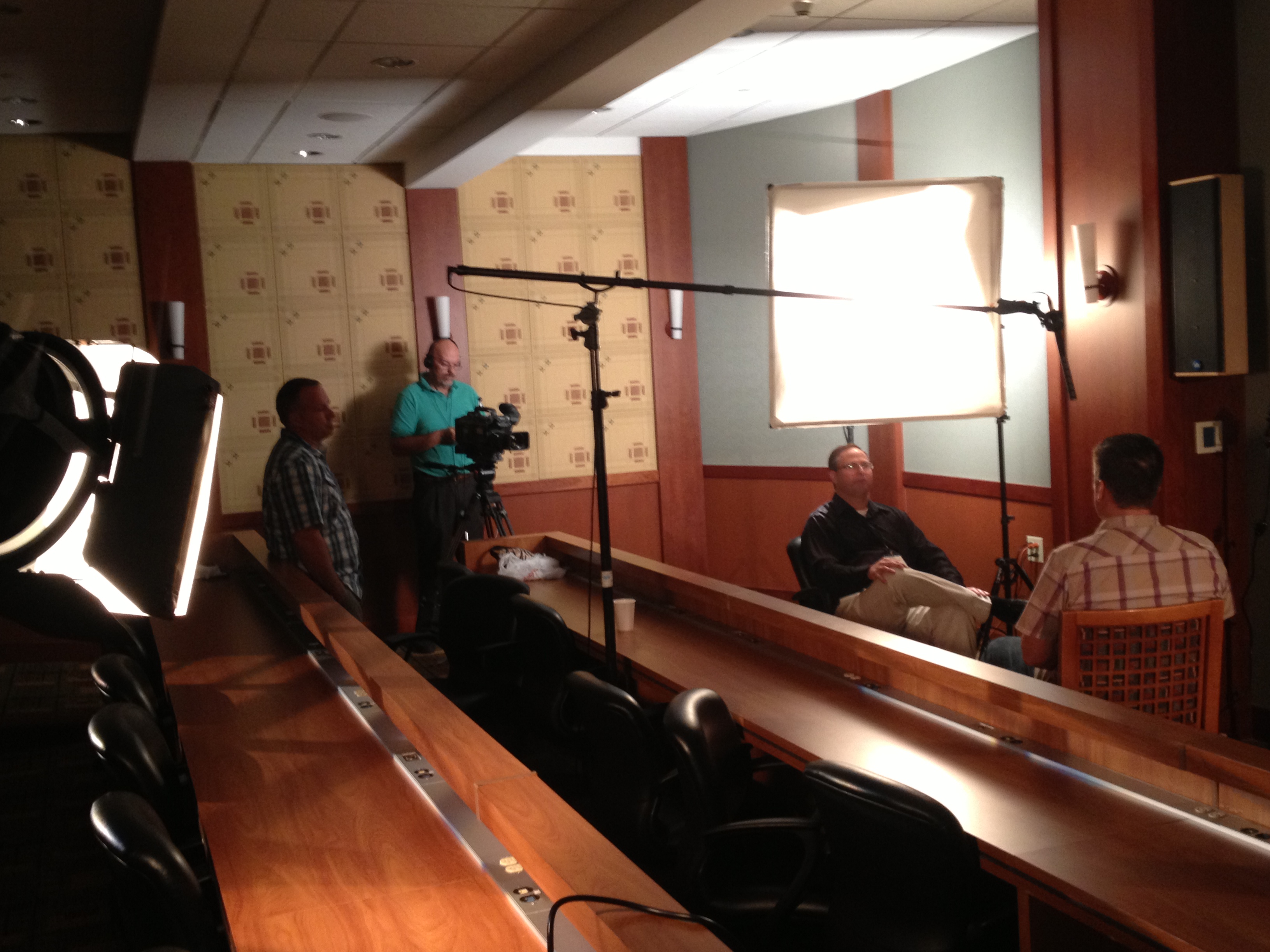
These productions can be particularly effective for:
- Manufacturing and industrial facility tours
- Warehouses and distribution centers
- Commercial real estate walkthroughs
- Corporate offices and headquarters
- Hospitality and entertainment venues
- Retail environments and large showrooms
- Educational and institutional facilities
- Recruitment and employer branding videos
Indoor FPV filming can provide audiences with a more immersive understanding of a business environment.
However, successful flights require substantial experience and planning.
Flight paths must account for obstacles, ceiling heights, equipment, employees, reflective surfaces, sensitive areas, and emergency landing procedures.
Appropriate protective equipment, controlled operating areas, and carefully coordinated production schedules help reduce risk.
Professional FPV cinematography is therefore a specialized production discipline, not simply conventional drone flying performed indoors.
Beyond Marketing: Specialized Drone Imaging for Technical Applications
Although aerial photography and video remain important commercial applications, drone technology also supports highly specialized imaging services.


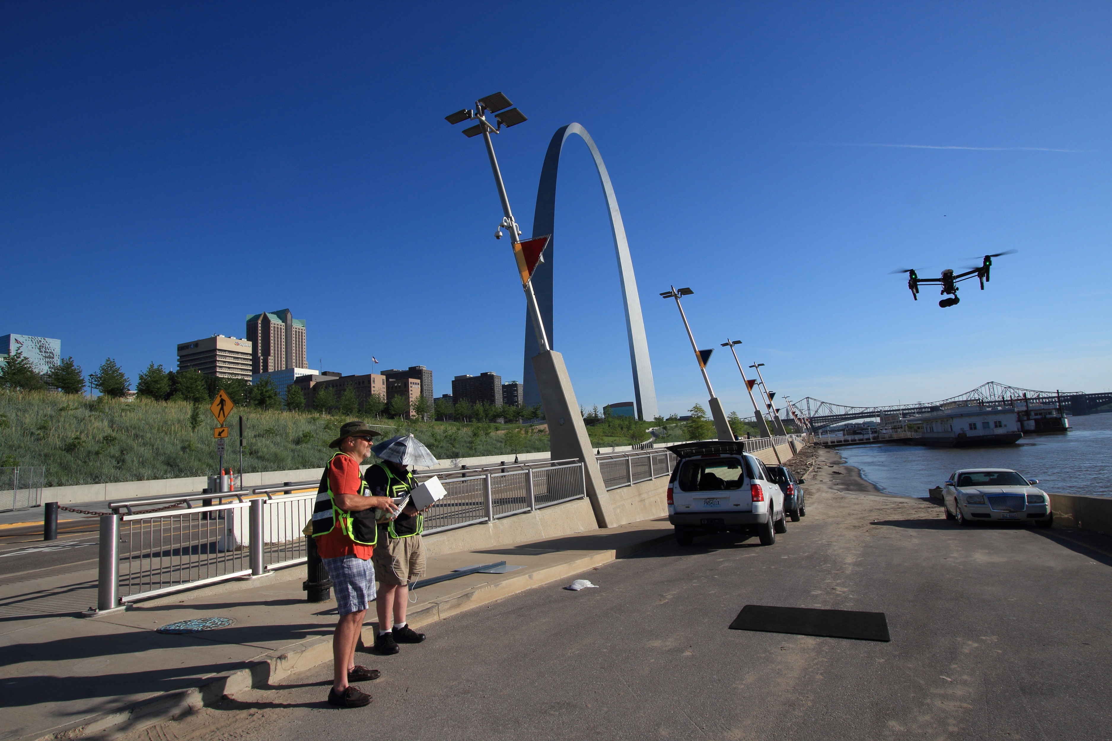

Infrared thermal cameras, mapping systems, photogrammetry software, and LiDAR sensors allow drones to capture information that conventional photography cannot provide.
These systems are increasingly useful for construction, engineering, facilities management, commercial roofing, infrastructure maintenance, and property documentation.
For business decision-makers, understanding the differences between these technologies is important when selecting the right imaging solution.
Infrared Thermal Drone Imaging for Commercial Buildings
Infrared thermal imaging provides a means of observing apparent surface temperature differences that cannot be seen with a standard camera.
Thermal sensors detect infrared radiation and translate the information into images representing temperature variations.
When properly acquired and interpreted, this information can help identify areas that warrant closer investigation.
Commercial Roof Inspections
Commercial roofing systems represent substantial financial investments.
Water intrusion, deteriorating insulation, and other hidden conditions can result in expensive repairs and operational disruptions.
Under suitable conditions, infrared thermal imaging may reveal temperature patterns associated with moisture-related anomalies in certain roofing assemblies.
During a thermal inspection, a drone can capture imagery over large roof areas without requiring personnel to walk across every section.
This can be useful for evaluating facilities such as warehouses, schools, hospitals, manufacturing plants, shopping centers, and office complexes.
However, thermal imagery does not directly identify water or establish the cause of an anomaly.
Results are affected by roof construction, insulation, surface materials, weather, solar heating, wind, and the timing of the inspection.
A qualified roof professional may need to confirm suspected conditions through additional testing.
Other Commercial Thermal Applications
Drone-based thermal imaging can also support investigations involving building envelopes, solar installations, selected industrial equipment, and infrastructure.
Radiometric thermal imaging systems can preserve temperature-related data for subsequent analysis when properly calibrated and operated.
Repeat inspections may help organizations compare conditions over time, provided acquisition methods and environmental factors are documented.
For facility managers, this information can contribute to maintenance planning and decisions about additional inspection or repair.
Orthomosaic Drone Mapping: Accurate Visual Documentation From Above
An orthomosaic is a composite aerial image created by processing multiple overlapping photographs.
Unlike a conventional aerial photograph, an orthomosaic is geometrically corrected to reduce perspective distortion and represent the photographed surface in a consistent spatial framework.
When appropriately georeferenced and quality-controlled, these images can support measurements and geographic analysis.
Practical Business Applications
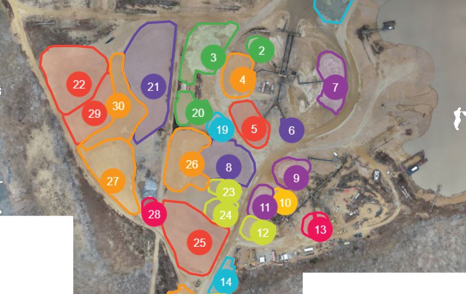
Orthomosaic maps can be useful for construction planning, land development, site documentation, commercial property management, and infrastructure projects.
Construction professionals can compare aerial imagery acquired at different project stages to visualize changes in site conditions.
Developers may use mapping products to communicate site layout, parking areas, building footprints, access roads, and other property features.
Engineering and environmental professionals can incorporate suitable imagery into geographic information systems and technical documentation workflows.
Understanding Mapping Accuracy
Not all drone maps provide the same level of positional accuracy.
Accuracy depends on multiple factors, including flight altitude, image overlap, camera calibration, processing methods, ground control, positioning technology, and site conditions.
Survey-grade results may require properly established control points, independent accuracy checks, and qualified professional oversight.
For projects involving legal property boundaries or regulated surveying activities, drone maps should not be treated as a substitute for services performed by an appropriately licensed land surveyor.
Drone LiDAR: Three-Dimensional Spatial Information
LiDAR, or Light Detection and Ranging, is another important development in aerial image acquisition.
LiDAR sensors emit laser pulses and measure reflected signals to estimate the distance between the sensor and surrounding surfaces.
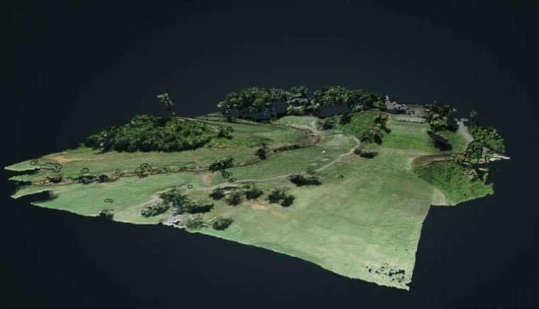
The resulting measurements can be processed into three-dimensional point clouds representing terrain, vegetation, structures, and other physical features.
Unlike conventional aerial photography, which records visible surface appearance, LiDAR captures spatial information that can be particularly useful for mapping and modeling.
Commercial and Technical Applications
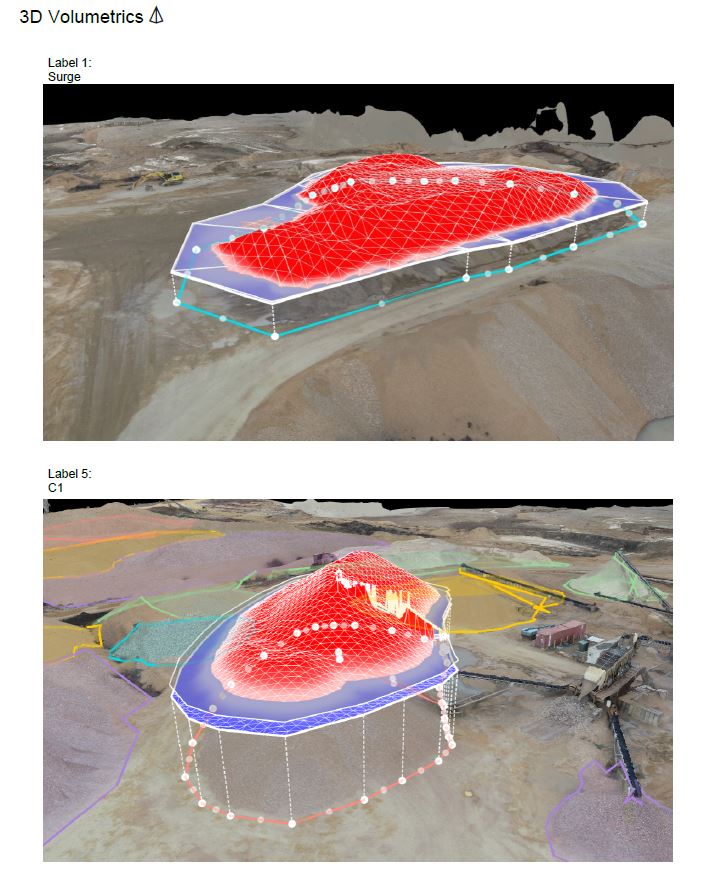
Drone LiDAR can support topographic data collection, site planning, construction documentation, utility corridor analysis, infrastructure projects, and environmental studies.
It may also provide valuable information in areas where conventional photogrammetry is limited by surface texture or vegetation.
LiDAR’s ability to record some ground returns through gaps in vegetation can be useful for terrain modeling, although dense vegetation and other conditions can still limit data capture.
The accuracy and usefulness of a LiDAR dataset depend on sensor performance, positioning, flight design, calibration, processing, and independent verification.

For architects, engineers, contractors, and facility managers, appropriately collected three-dimensional data can provide a detailed spatial reference for planning and analysis.
Construction Progress Monitoring With Professional Drones
Construction companies increasingly use drone photography and mapping to document project activity over extended periods.
Aerial imagery can provide consistent visual records of site development, building construction, grading, material placement, and changing property conditions.
Regularly scheduled drone flights can help project managers, owners, and investors understand progress without requiring every stakeholder to visit the location.
Rob Haller 314-604-6544 stlouisdrones@gmail.com

