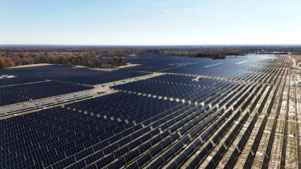
As the adoption of solar energy continues to rise, businesses and organizations are increasingly investing in solar panel installations to reduce their carbon footprint and energy costs. However, maintaining these systems requires regular inspections to ensure optimal performance. Traditional inspection methods can be costly, time-consuming, and potentially hazardous. This is where drone technology revolutionizes solar panel inspections—offering a faster, safer, and more cost-effective solution.
Why Drone Inspections for Solar Panels?
Drones equipped with high-resolution cameras and thermal imaging sensors allow for comprehensive inspections of solar panel arrays without the need for manual checks. Here are some key benefits of using drones for solar panel inspections:
- Speed and Efficiency – Drones can inspect vast solar farms or rooftop installations in a fraction of the time it would take for manual inspections.
- Enhanced Accuracy – With advanced imaging technology, drones can detect even minor anomalies that might go unnoticed during manual checks.
- Cost Savings – By reducing labor costs and minimizing equipment downtime, businesses can significantly lower maintenance expenses.
- Safety – Eliminating the need for technicians to climb onto rooftops or walk through large solar farms minimizes risks associated with falls and other workplace hazards.
- Comprehensive Data Collection – Drones capture high-resolution images and thermal scans, allowing for in-depth analysis of panel performance and potential failures.
Common Solar Panel Issues Drones Can Detect
- Hot Spots – Thermal imaging allows drones to detect hot spots, which indicate potential electrical issues, shading problems, or panel malfunctions.
- Cracked or Damaged Panels – High-resolution photography can identify physical damage from hail, debris, or poor installation practices.
- String Failures – A group of solar panels failing simultaneously may indicate inverter or wiring issues, which drones can quickly pinpoint.
- Dirt and Debris Accumulation – Dust, leaves, bird droppings, and other debris can reduce panel efficiency. Drones provide an aerial perspective for maintenance planning.
- Wiring and Connection Issues – Thermal sensors can detect uneven heating patterns, signaling potential wiring or connection failures.


How Drone Inspections Work
At St. Louis Drones, we follow a streamlined process to ensure thorough and reliable solar panel inspections:
- Pre-Flight Planning – Our team assesses the location and determines optimal flight paths to maximize coverage.
- Data Collection – Using high-resolution and thermal imaging cameras, our drones capture detailed data across the entire solar installation.
- Data Analysis – Our experts analyze the images and thermal scans, identifying potential problem areas that need attention.
- Detailed Reporting – We provide clients with comprehensive reports, including annotated images, thermal maps, and recommended actions.
- Actionable Solutions – If issues are detected, we collaborate with businesses to plan necessary repairs or maintenance, ensuring minimal downtime and maximum efficiency.
Partner with St. Louis Drones for Your Solar Panel Inspections
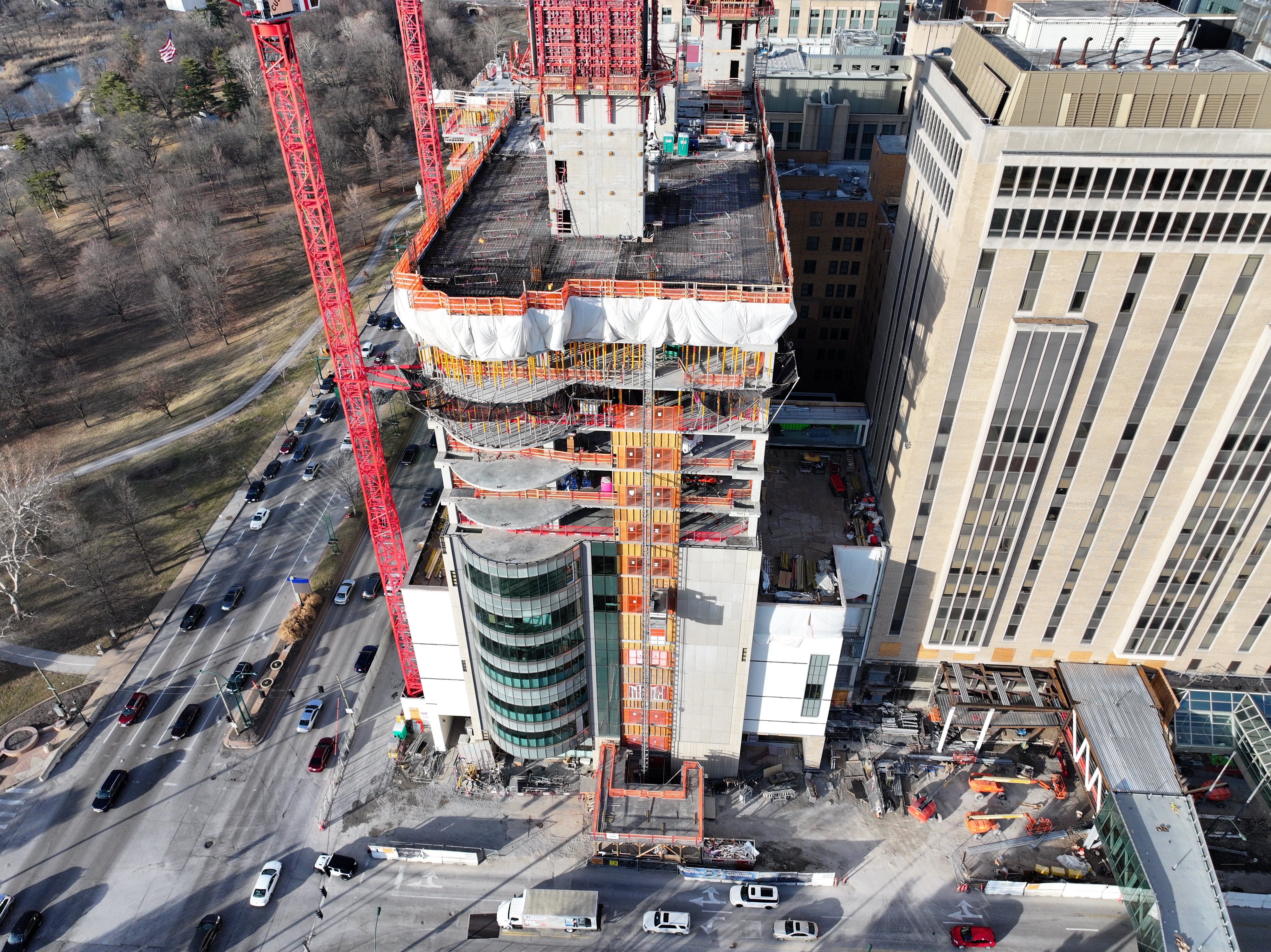
At St. Louis Drones, we bring decades of experience in professional aerial photography and video production, offering cutting-edge drone technology for efficient and accurate solar panel inspections. Our full-service commercial photography and video production company is equipped with state-of-the-art imaging tools and a highly skilled creative crew dedicated to successful image acquisition.
We provide:
- Licensed Drone Pilots – Our FAA-certified pilots ensure safe and compliant operations.
- Customizable Production Services – From studio and location video shoots to post-production and editing, we cater to diverse media requirements.
- Expertise in Branding and Repurposing Media – We help businesses optimize their photo and video assets for maximum engagement.
- Advanced Studio Capabilities – Our private studio lighting and visual setup are ideal for interviews and small productions, with enough space to incorporate props and create a dynamic set.
- Indoor Drone Flying Capabilities – Our specialized drones can operate indoors, allowing for close-up inspections even in challenging environments.
Since 1982, St. Louis Drones has been the trusted partner for businesses, marketing firms, and creative agencies in the St. Louis area, delivering high-quality photography and video solutions. Whether you need drone inspections for solar panels or full-scale video production services, we have the expertise and equipment to make your project a success.
Contact us today to schedule your next drone inspection and ensure your solar energy investment operates at peak performance!