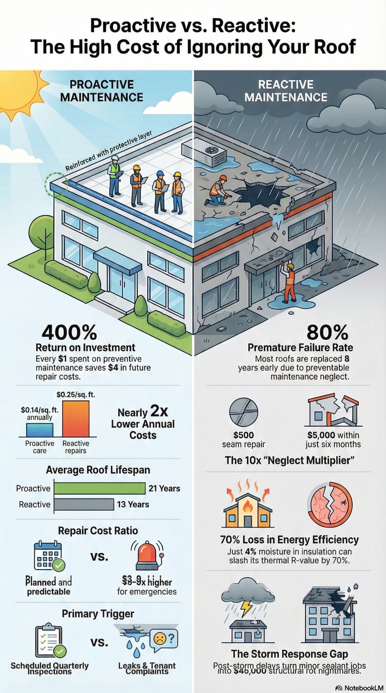
Roof leaks rarely begin where they’re first discovered. Long before water stains appear inside a building, moisture may already be trapped beneath the roofing membrane, quietly saturating insulation, reducing energy efficiency, and accelerating the deterioration of valuable roofing systems. By the time interior damage becomes visible, repairs are often far more extensive and costly than they would have been if the problem had been detected early.
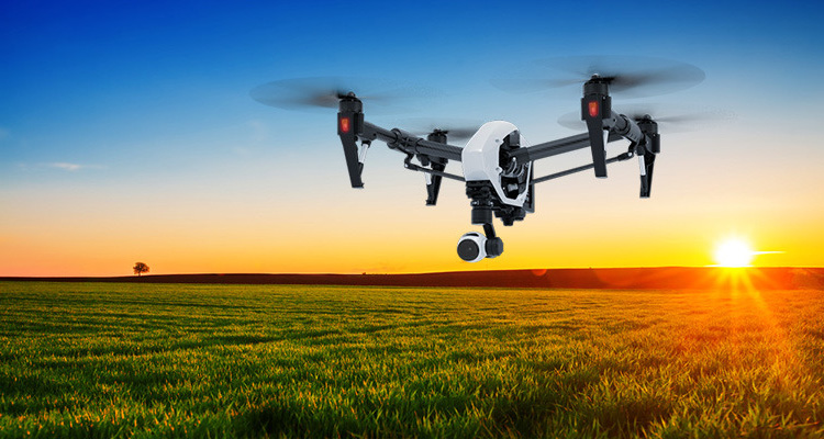
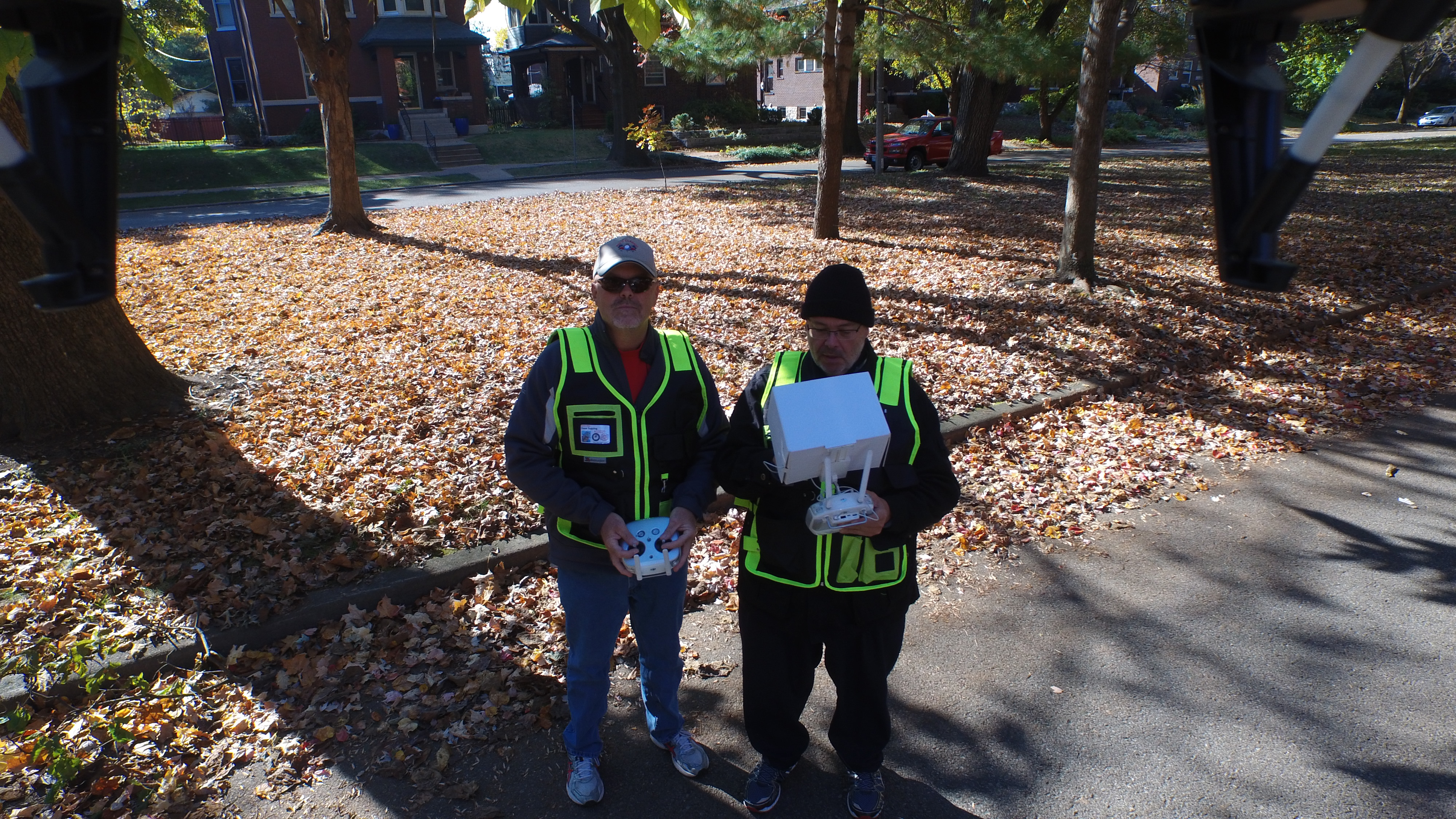
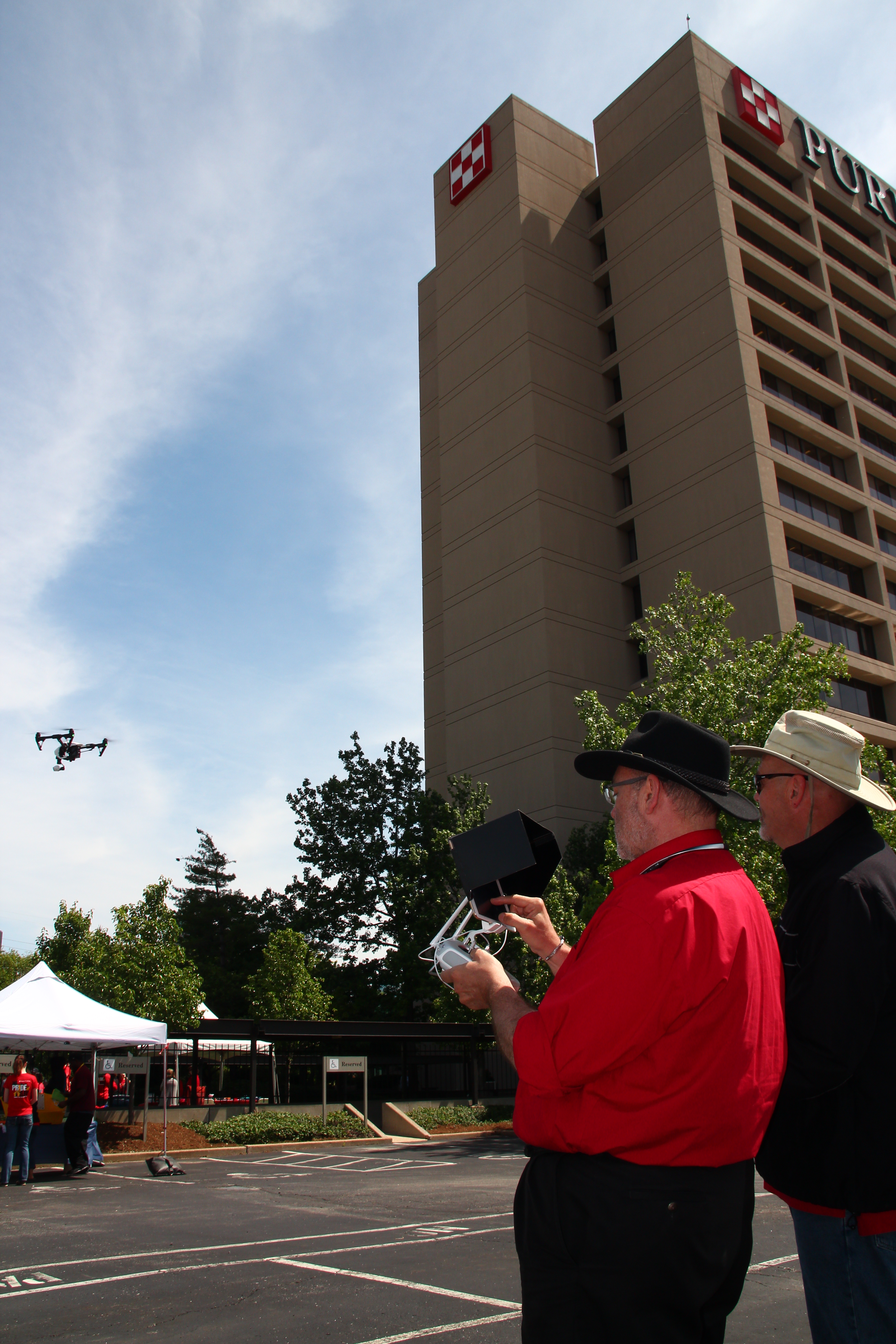
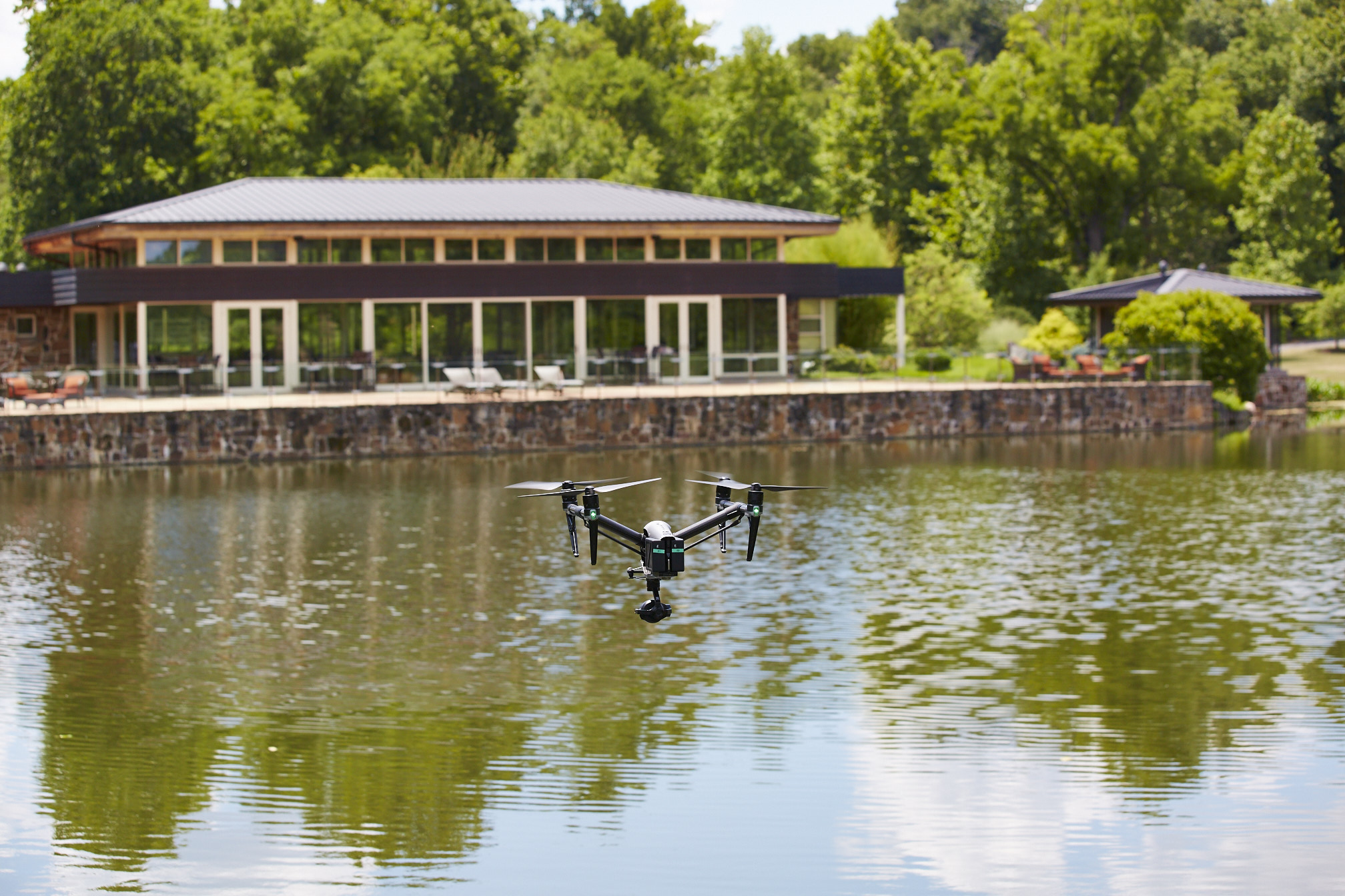
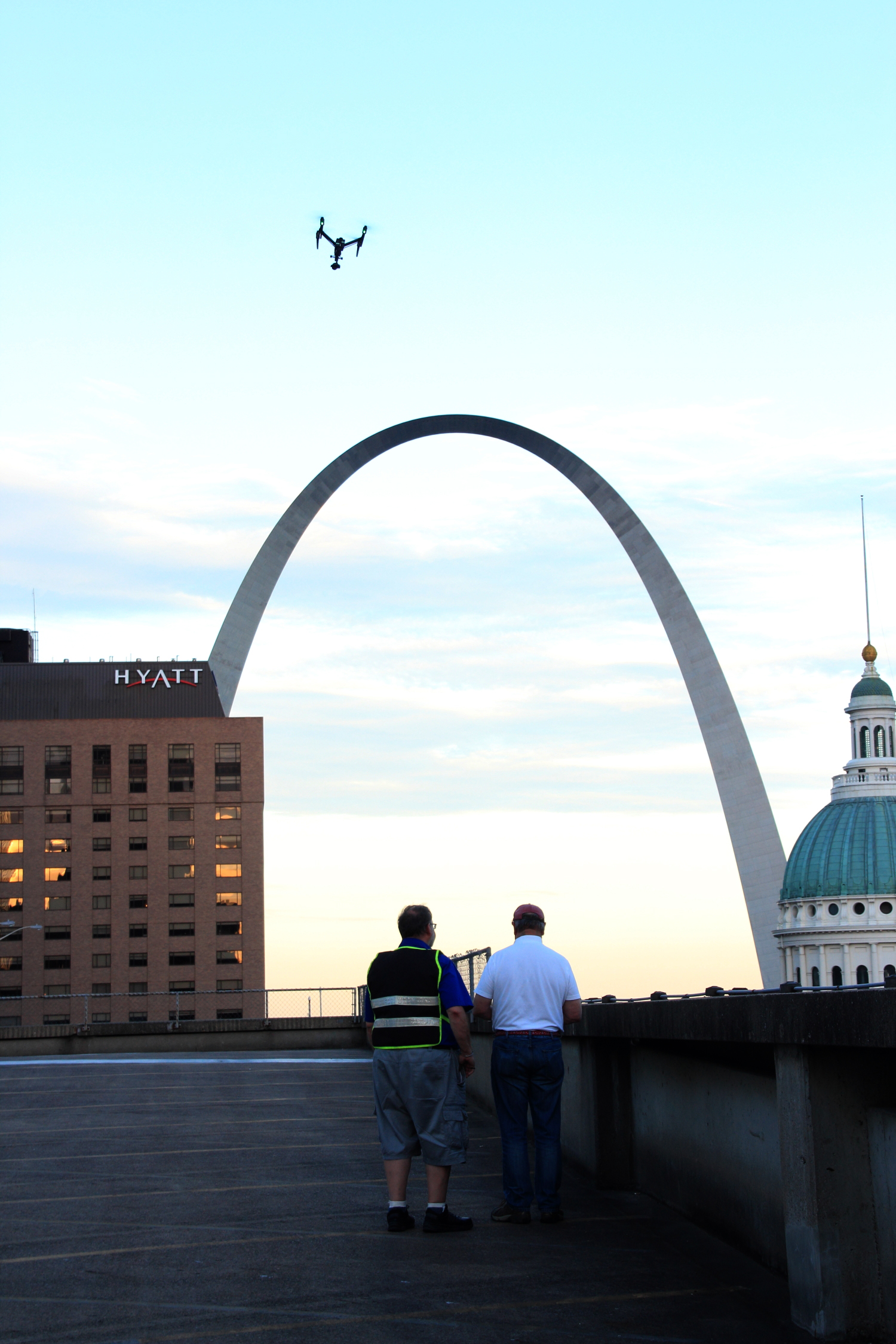
At St Louis Drones, we help facility managers, property owners, engineers, architects, and commercial building professionals identify hidden roofing issues before they become expensive emergencies. Our advanced FLIR thermal infrared drone inspections combine radiometric thermal imaging, high-resolution aerial photography, and precision mapping to deliver objective, data-driven information about the health of your roofing assets.
Rather than reacting to leaks after damage occurs, organizations can use thermal drone inspections to proactively monitor roof conditions, prioritize maintenance, and make informed decisions that extend the life of their buildings.
Why Hidden Roof Moisture Is So Difficult to Detect
Many commercial roofing systems conceal moisture beneath membranes or insulation where it cannot be identified during a traditional visual inspection. Water often travels away from the original point of entry, making the actual source of the problem difficult to locate.

Hidden moisture can result from:
- Aging roofing systems
- Storm or hail damage
- Failed flashing
- Roof penetrations around HVAC equipment
- Mechanical damage
- Poor drainage
- Expansion joint failures
- Previous repair deficiencies
Without advanced diagnostic technology, these conditions often remain unnoticed until interior leaks or structural damage occur.
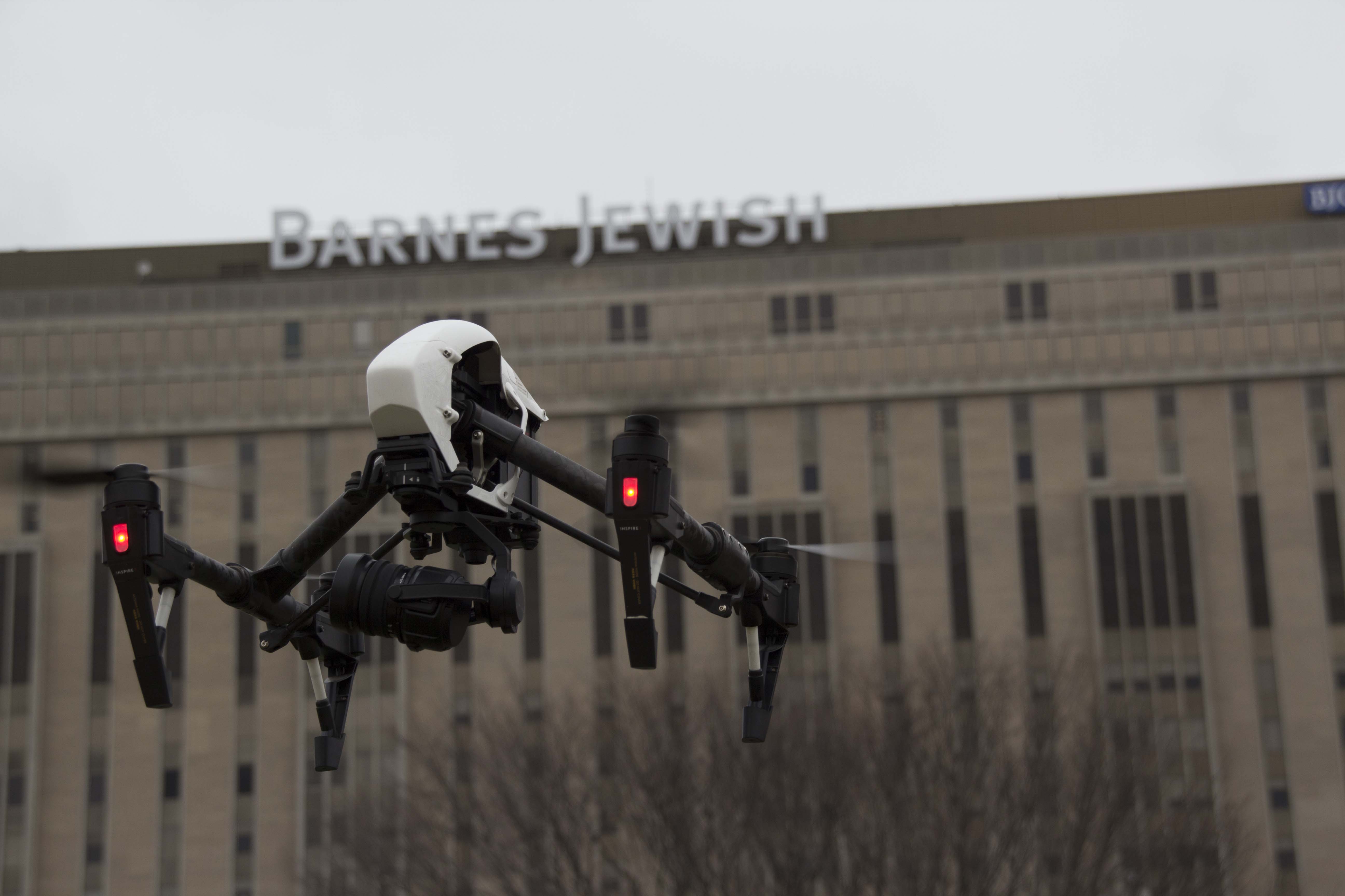
How FLIR Thermal Infrared Drone Inspections Work
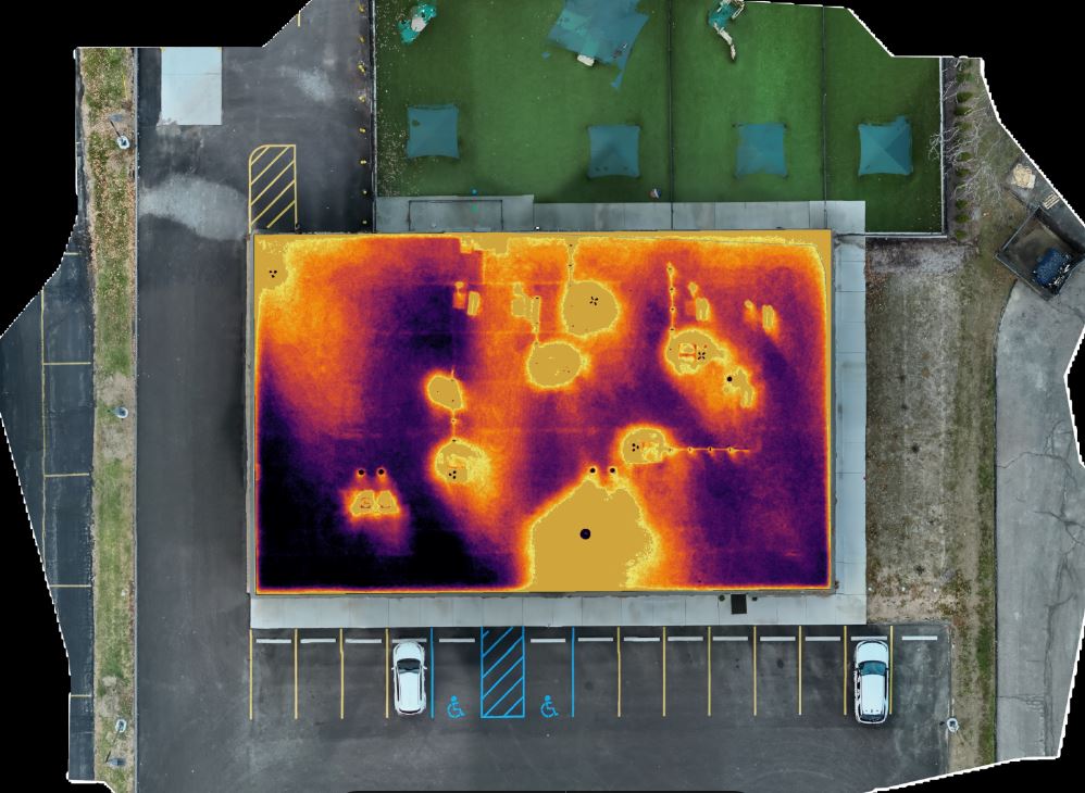
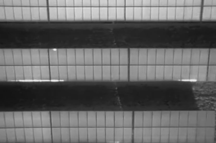
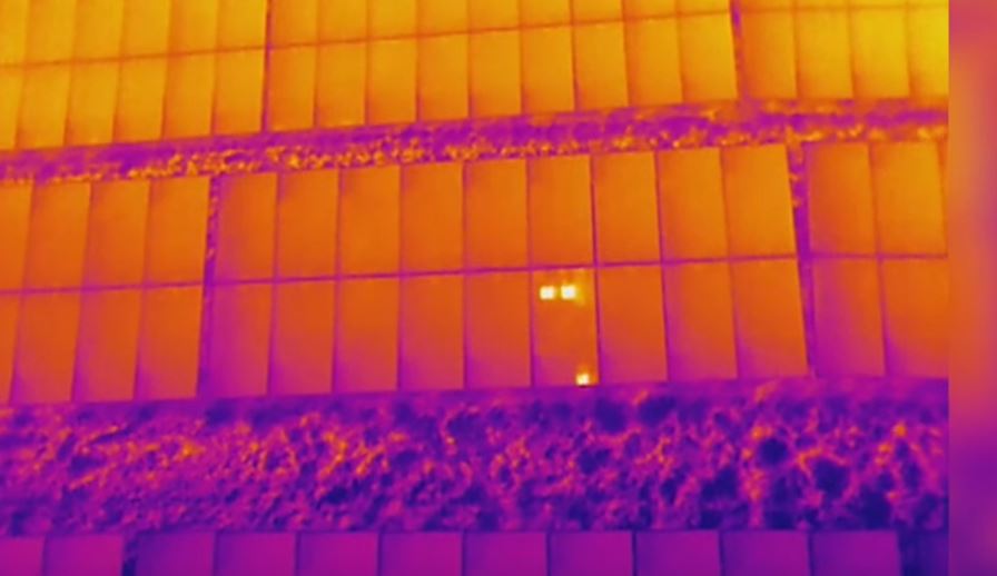
Thermal imaging detects temperature differences that are invisible to the human eye.
As roofing materials absorb heat throughout the day, dry insulation cools differently than insulation containing trapped moisture. Wet areas retain thermal energy longer, producing temperature patterns that can be identified using professional FLIR radiometric thermal cameras mounted on our drone platforms.
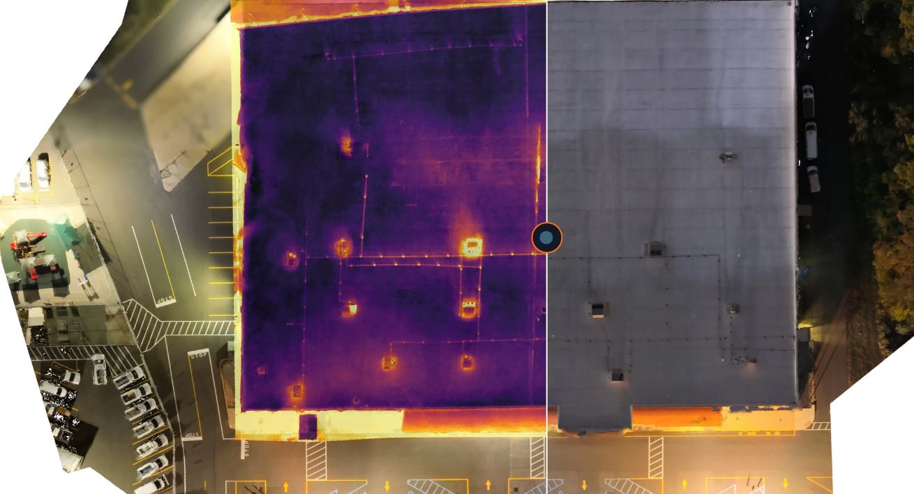
Unlike conventional infrared images, radiometric thermal imagery records precise temperature information throughout every image, providing measurable data for detailed evaluation and documentation.
Our inspections help identify:
- Suspected moisture intrusion
- Saturated insulation
- Thermal anomalies
- Potential leak locations
- Areas requiring additional investigation
- Heat loss patterns
- Roofing system irregularities
The result is a fast, non-invasive assessment that minimizes disruption while delivering valuable insight into roof conditions.
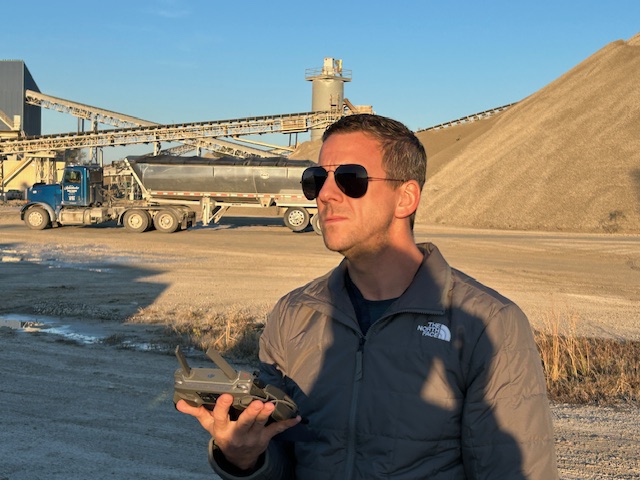
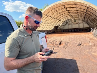
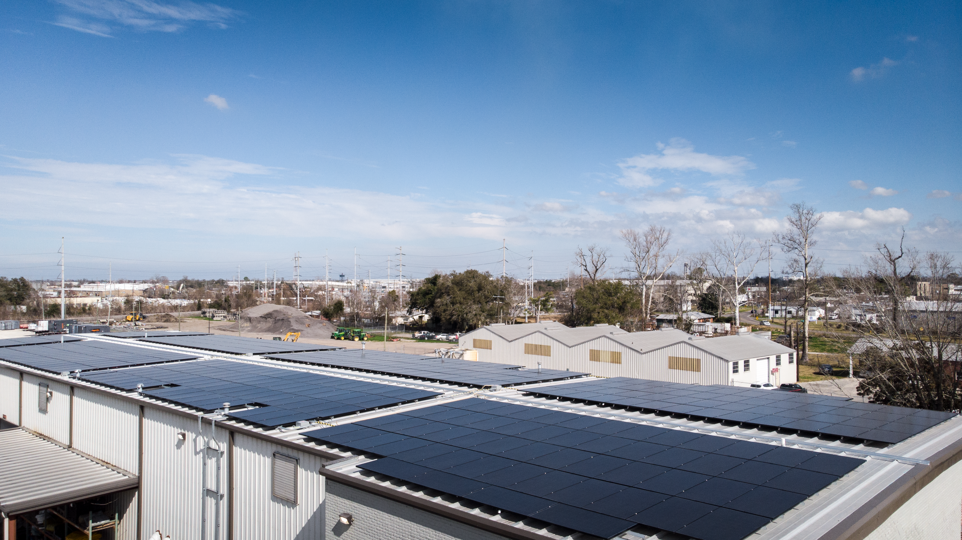
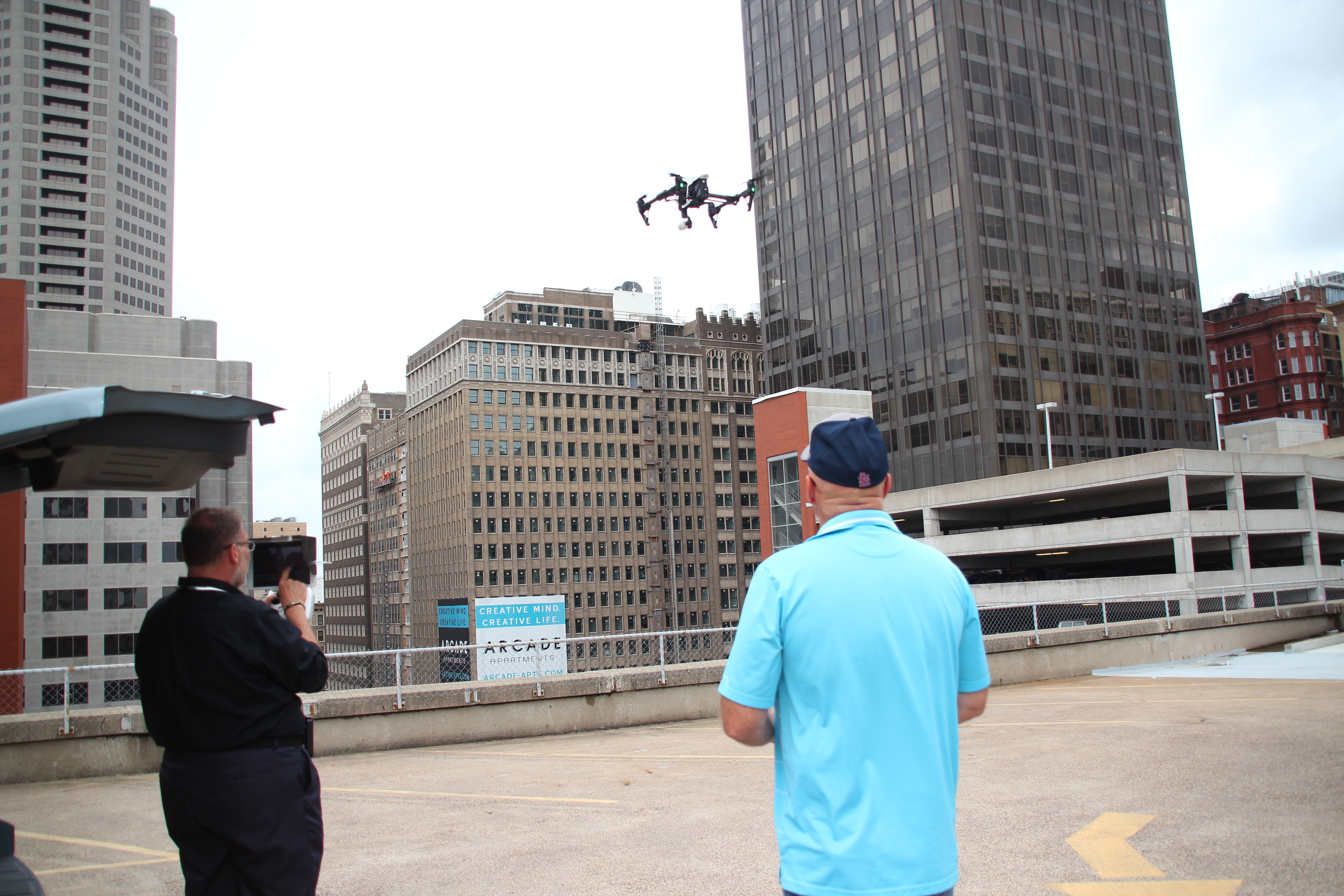
The Advantages of Drone-Based Roof Inspections
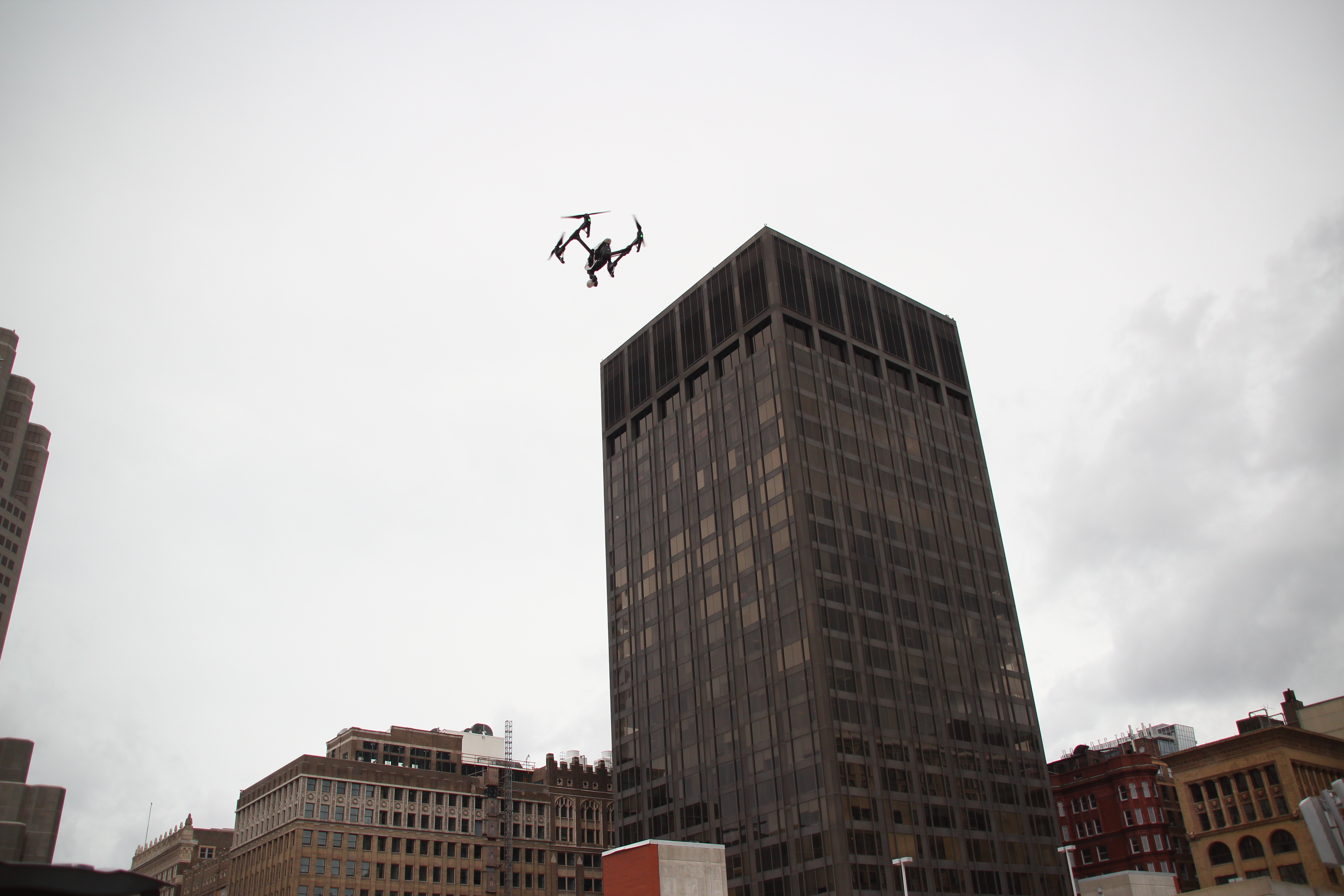
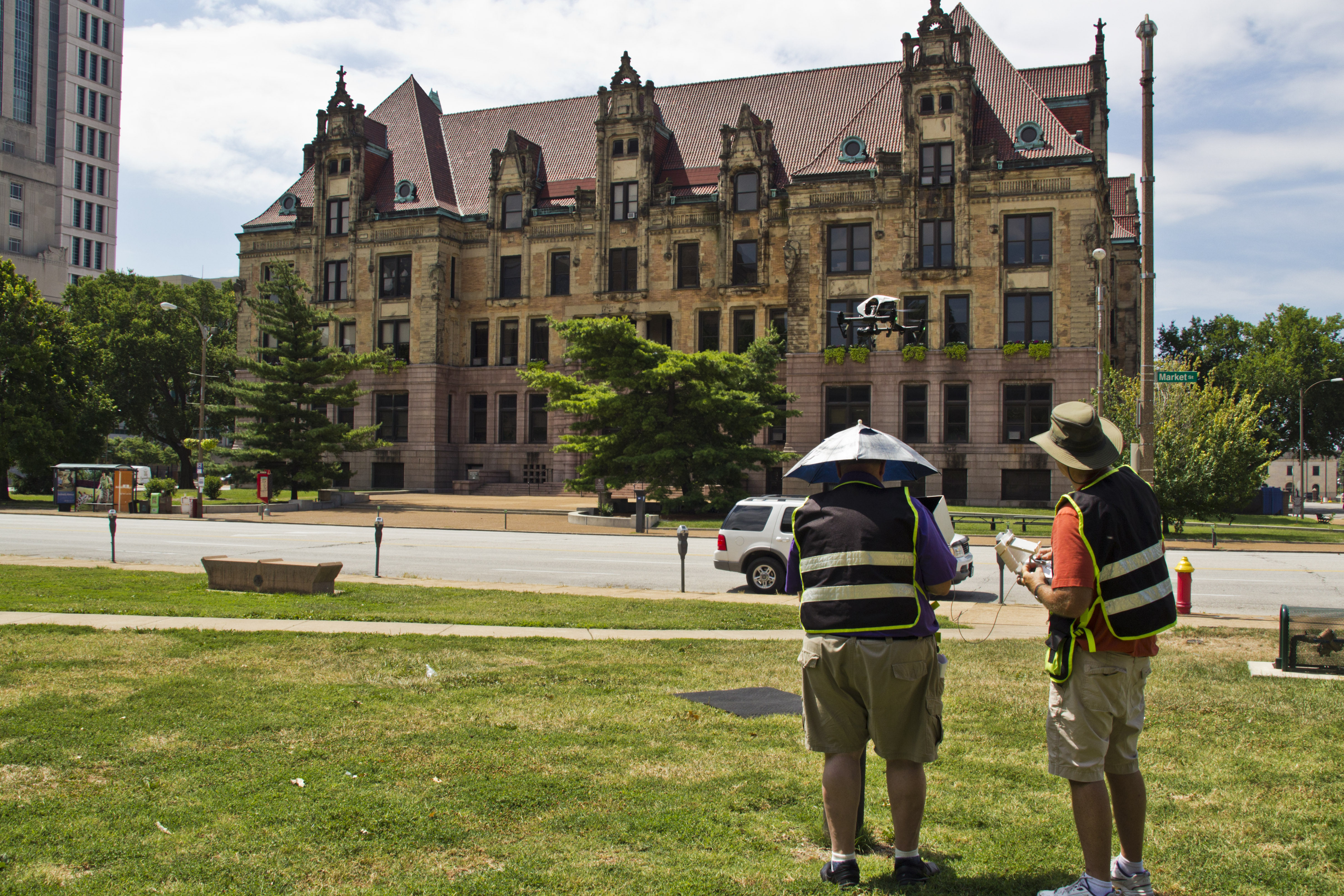
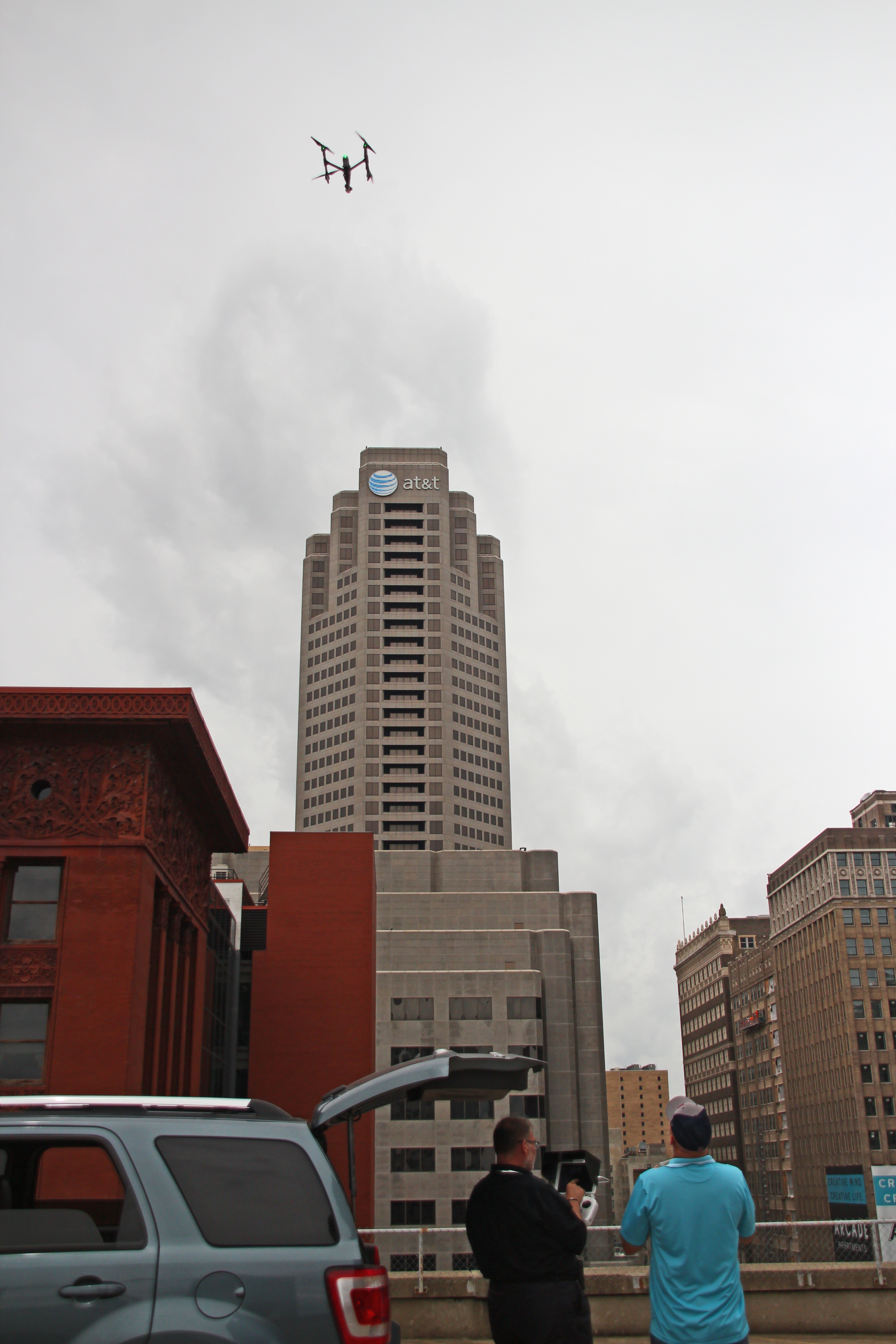
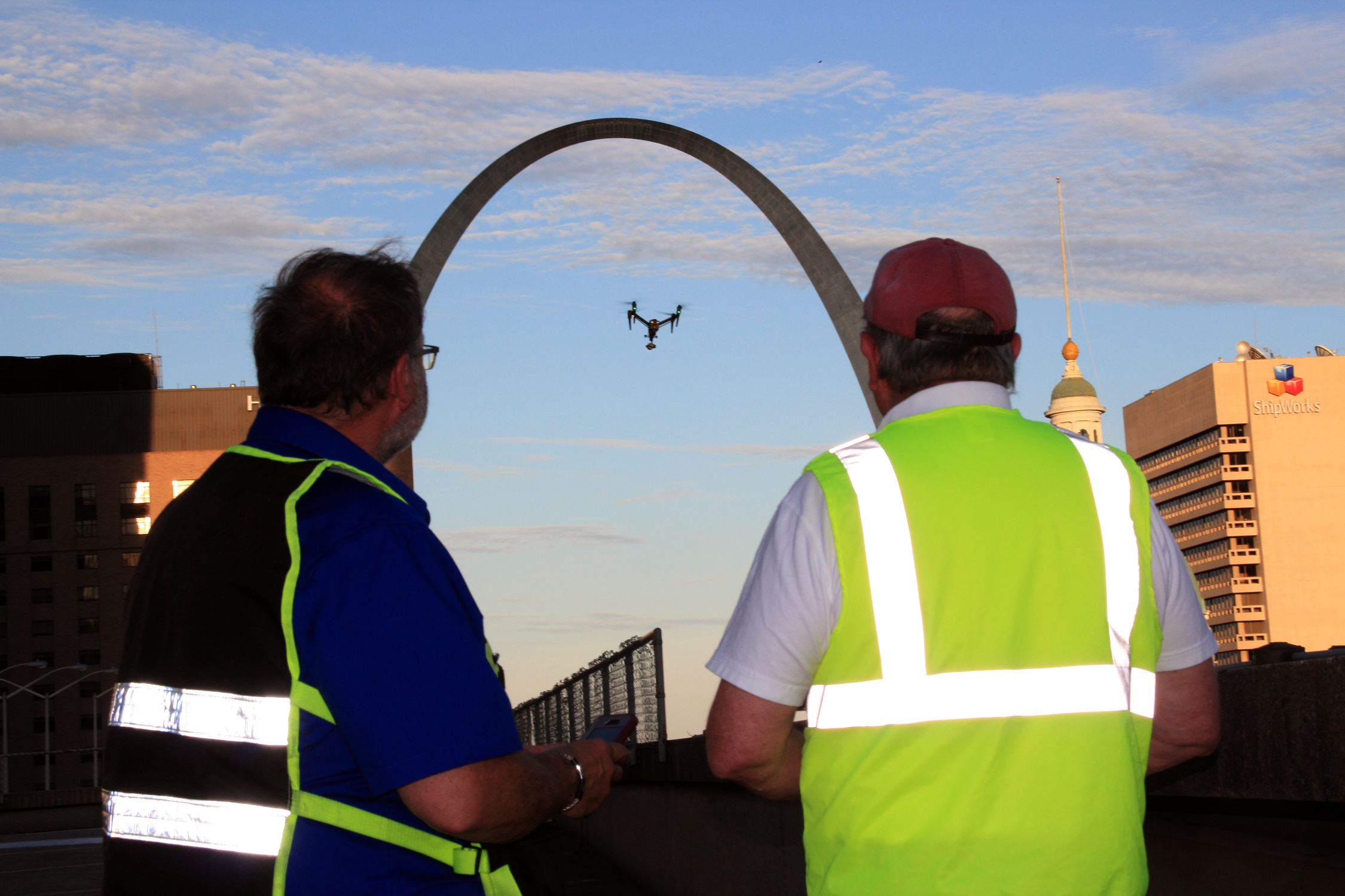
Drone technology has transformed commercial roof inspections by making them safer, faster, and more comprehensive.
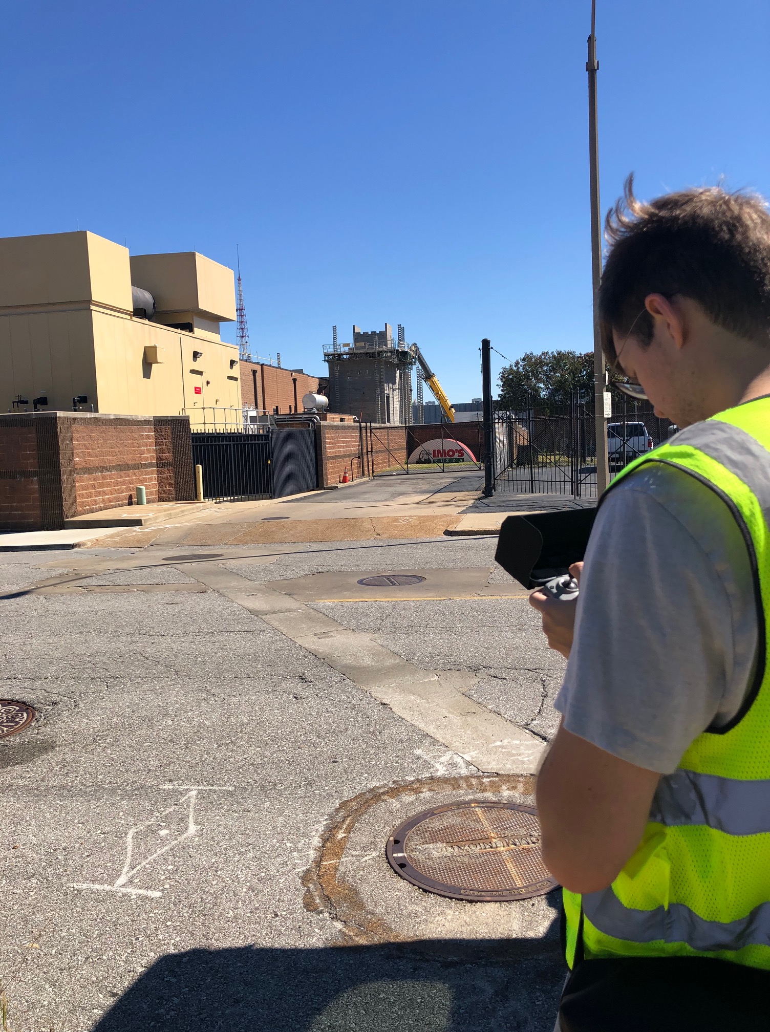
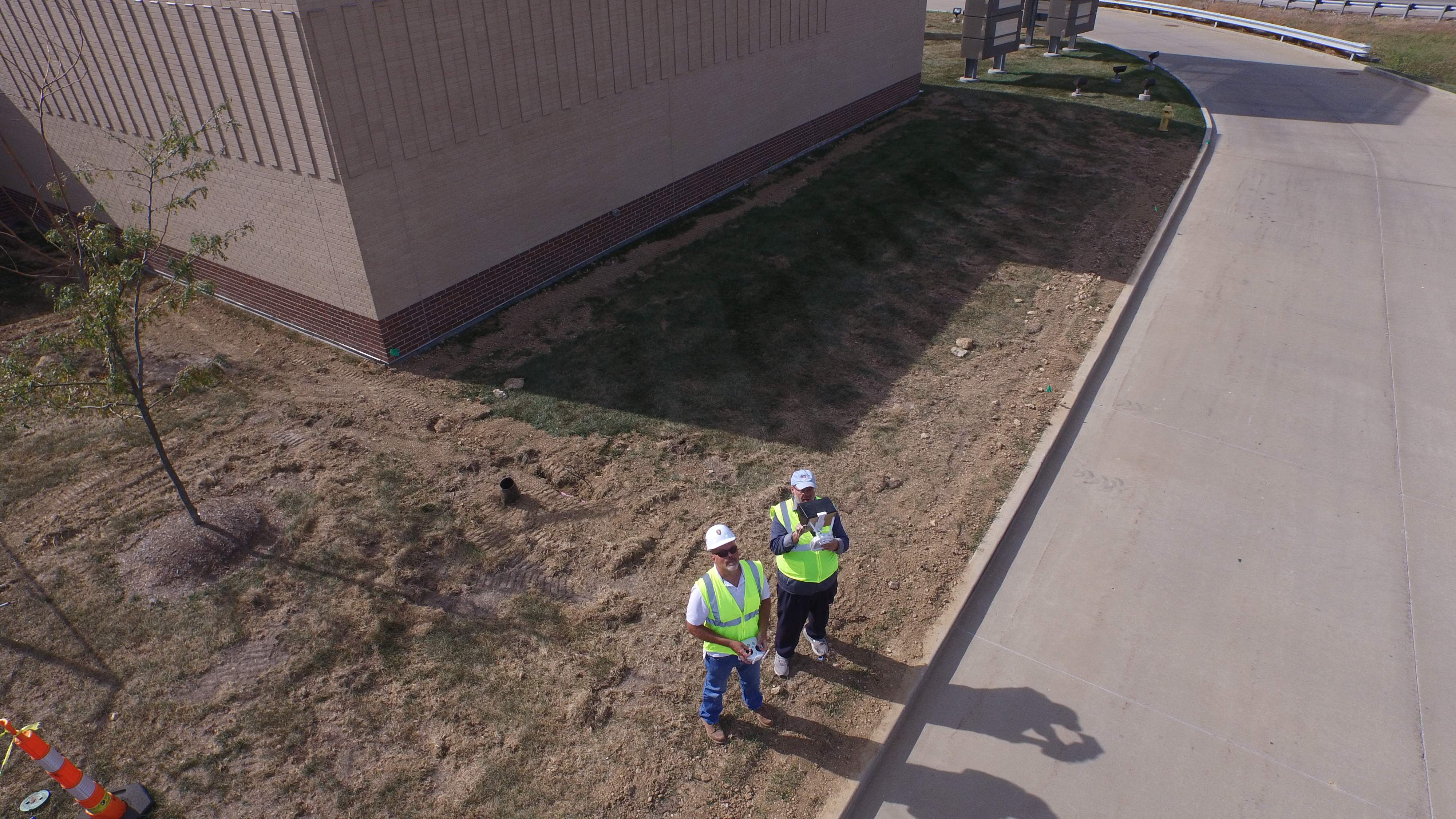
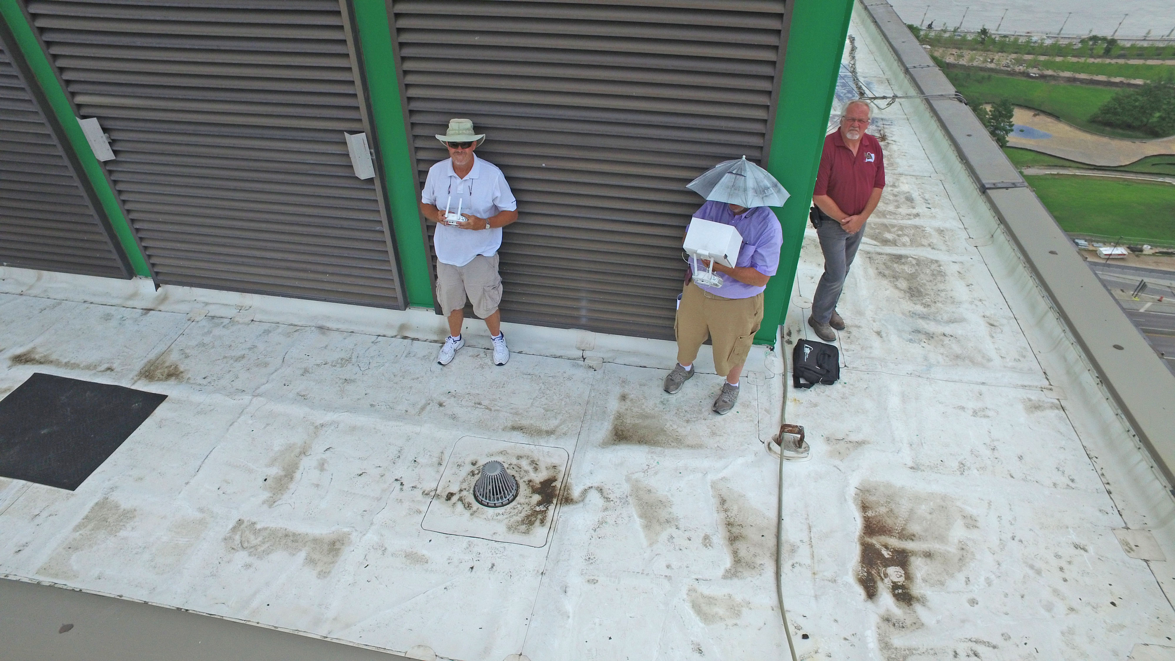
Improved Safety
Our pilots perform inspections while remaining safely on the ground, reducing the need for personnel to walk large or difficult roofing systems.
Efficient Data Collection
Large commercial facilities can be documented quickly without interrupting daily operations.
Exceptional Image Quality
Professional thermal sensors and high-resolution cameras capture detailed imagery suitable for engineering analysis, maintenance planning, and documentation.
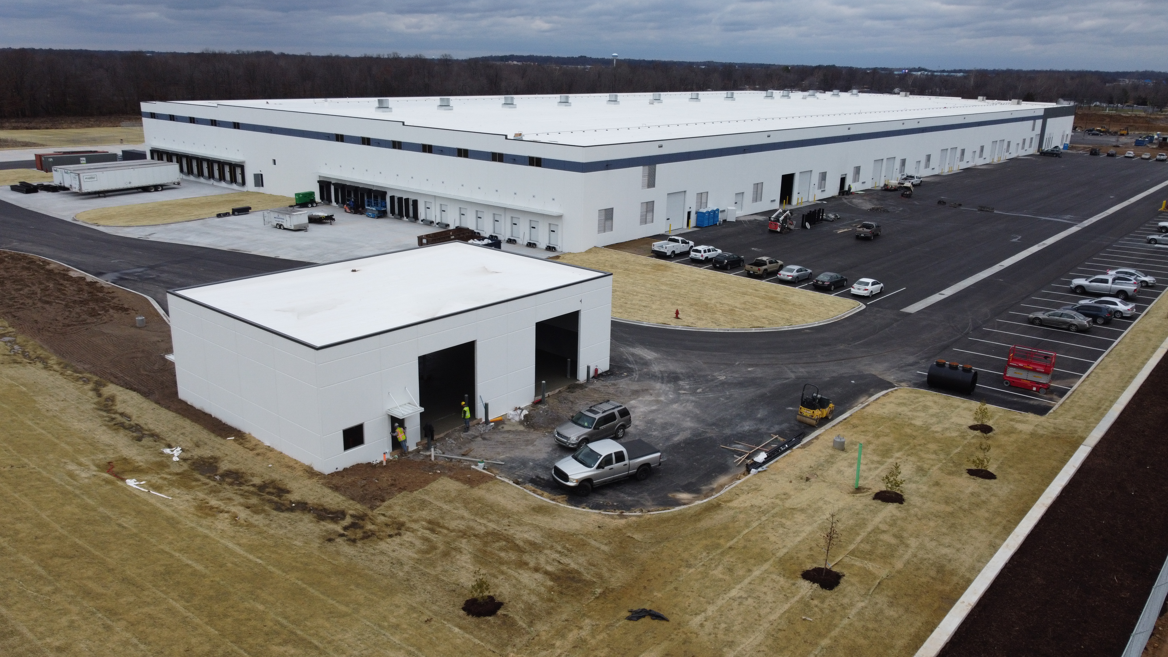
Access to Challenging Roofs
Drones efficiently inspect multi-level buildings, steep roof sections, mechanical equipment areas, solar arrays, and other locations that may be difficult to reach safely.

Repeatable Documentation
Routine inspections establish valuable historical records that help facility managers monitor roof conditions over time and identify developing issues before they become costly failures.
Radiometric Data Supports Better Decisions
Every inspection performed by St Louis Drones produces timestamped thermal imagery and measurable radiometric data that can become part of your long-term facility management strategy.
Objective documentation can support:
- Preventive maintenance planning
- Insurance claims
- Warranty evaluations
- Contractor verification
- Capital improvement planning
- Historical roof condition records
- Asset management programs
Reliable data helps eliminate guesswork while supporting informed maintenance decisions.
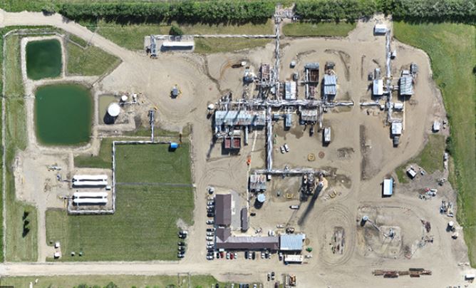
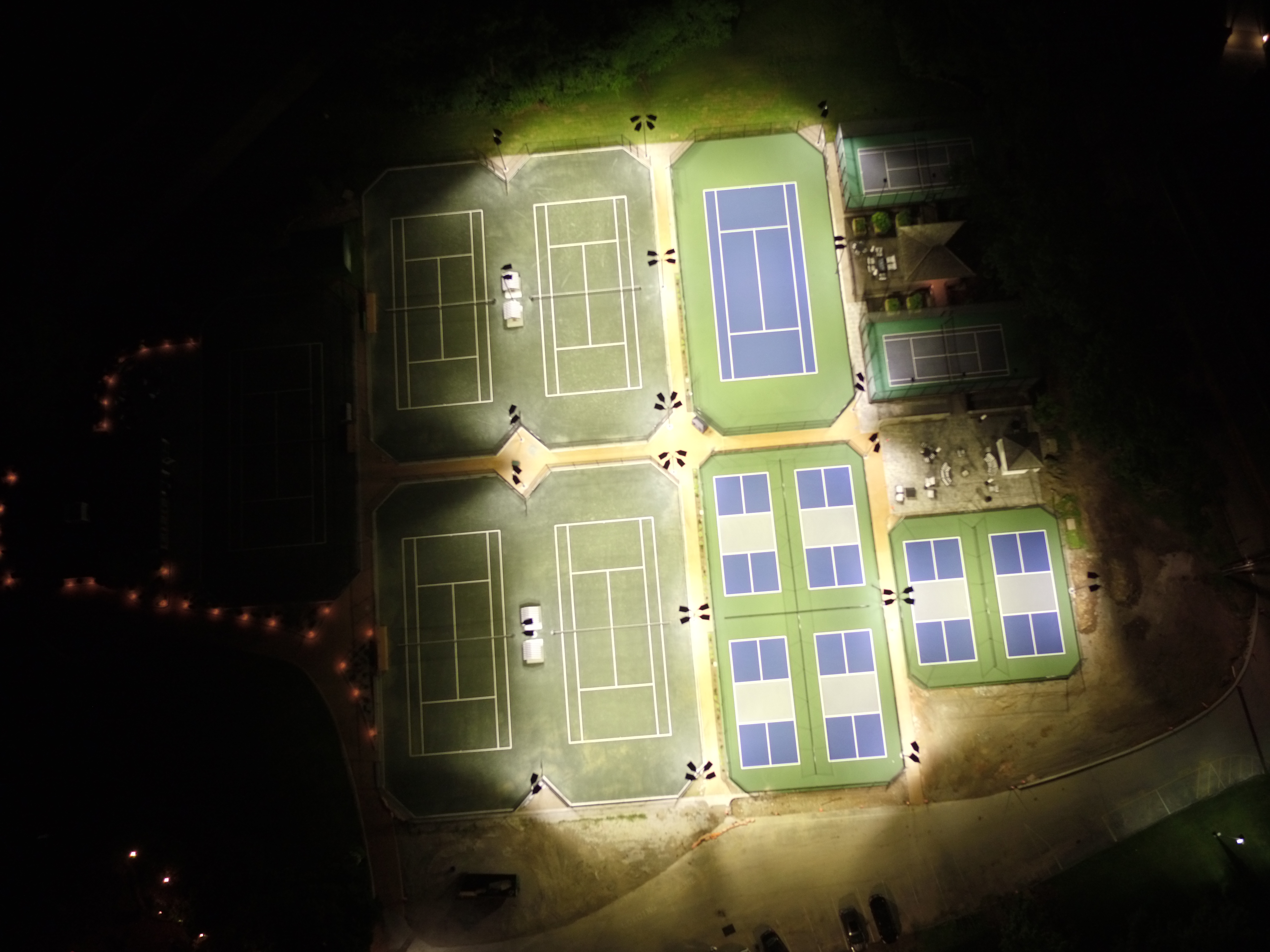
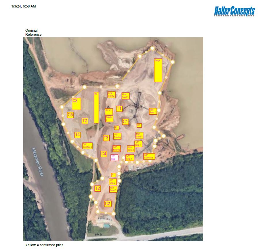
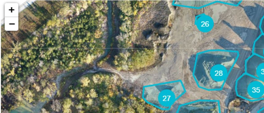
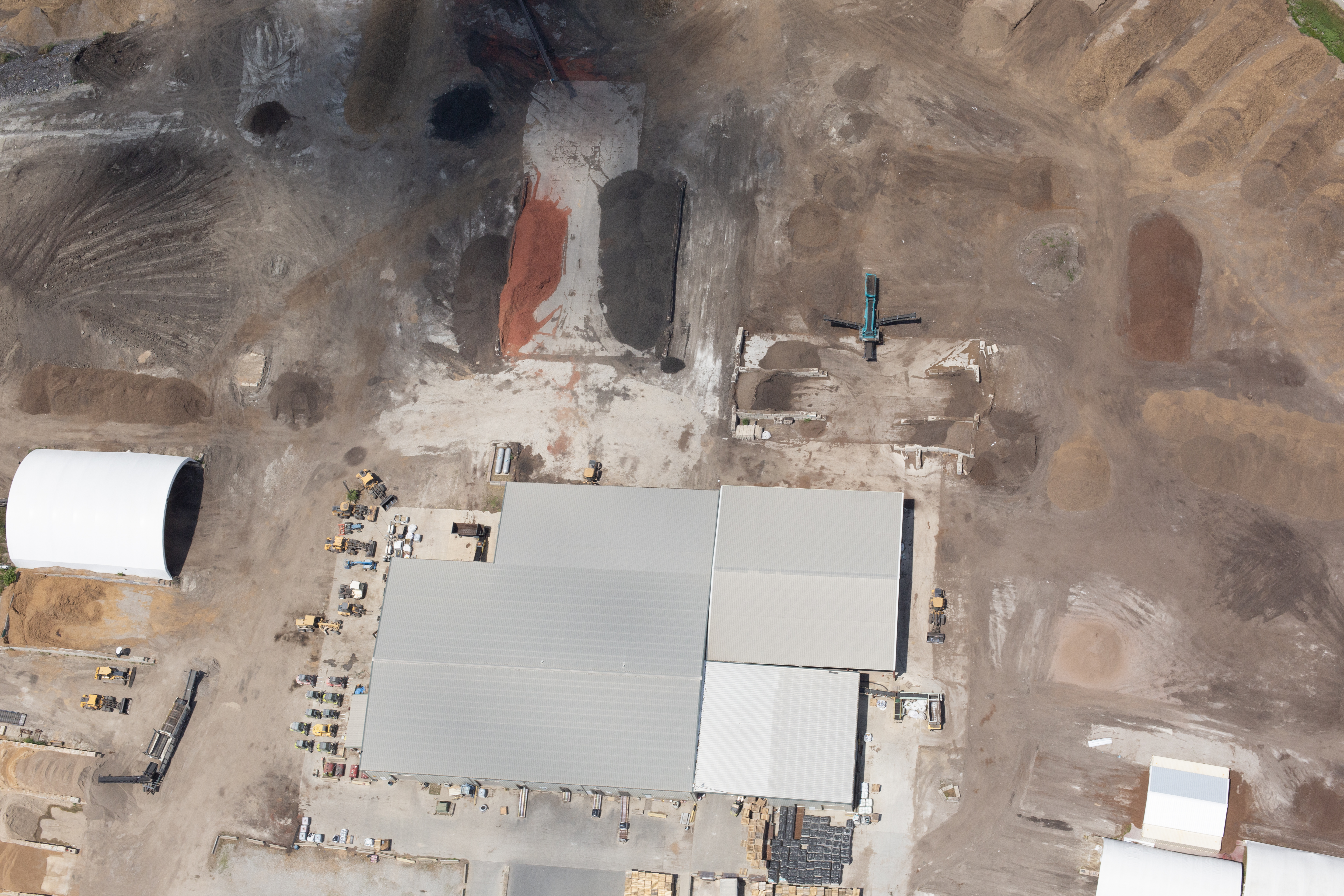
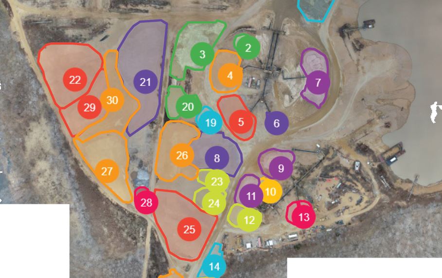
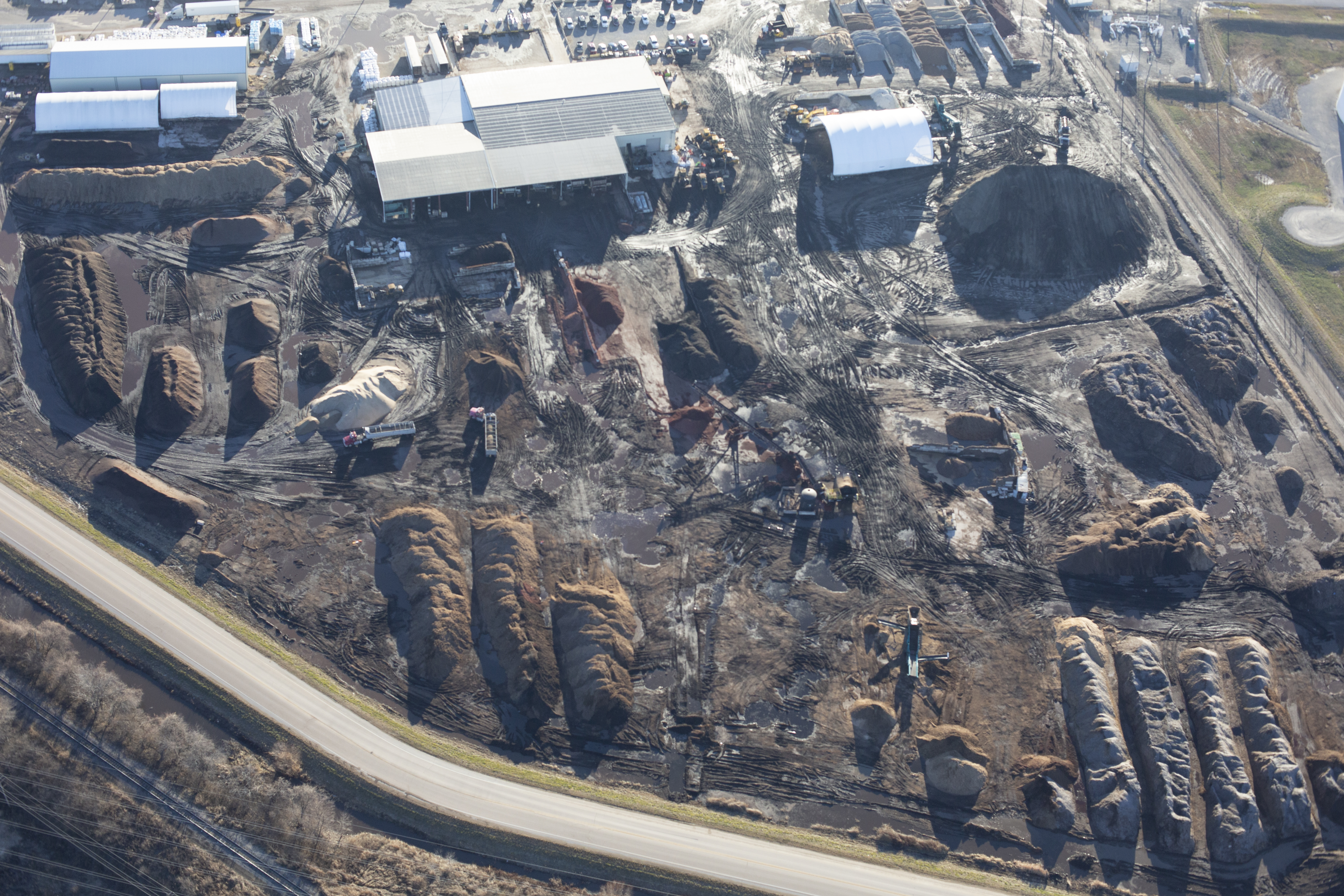
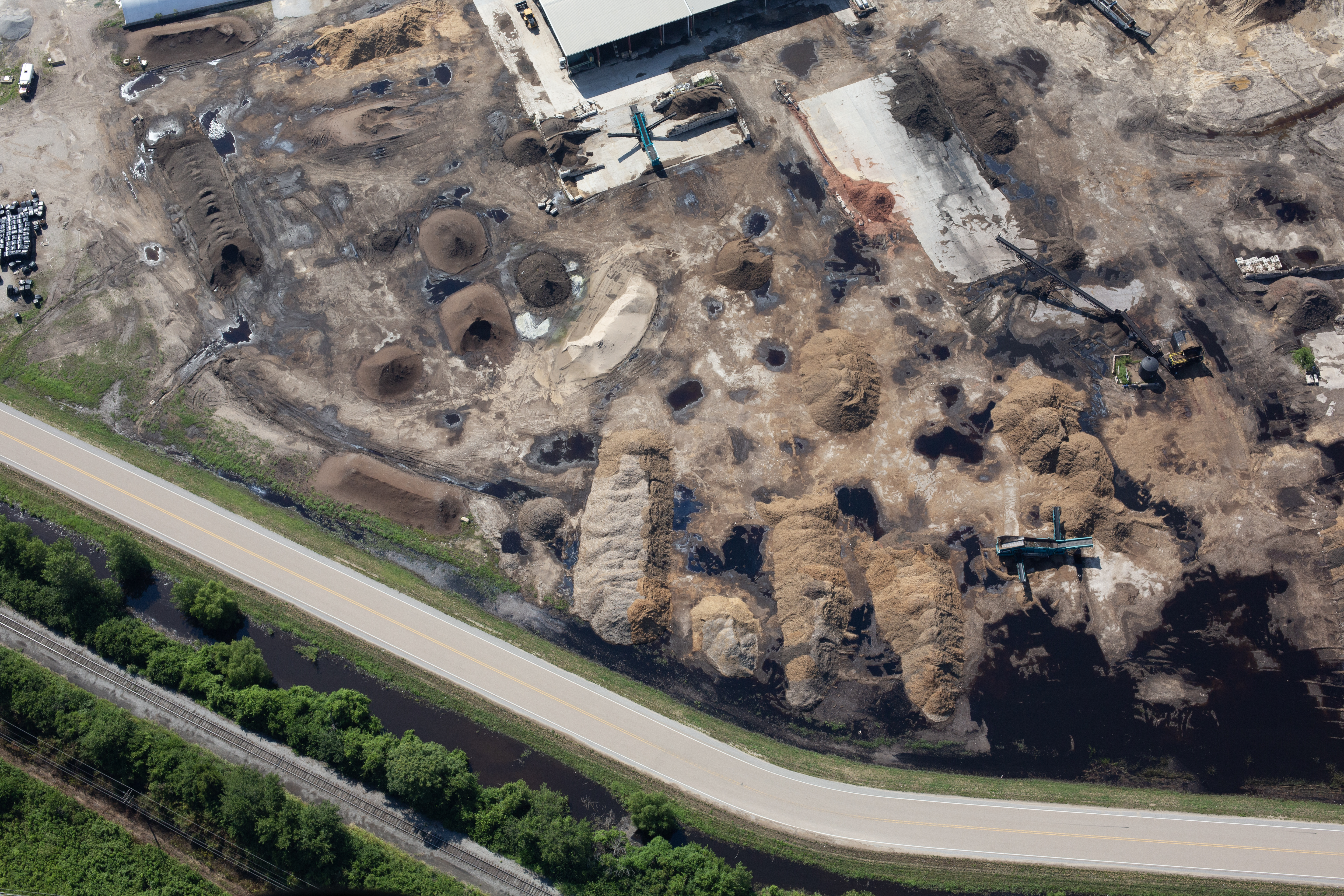
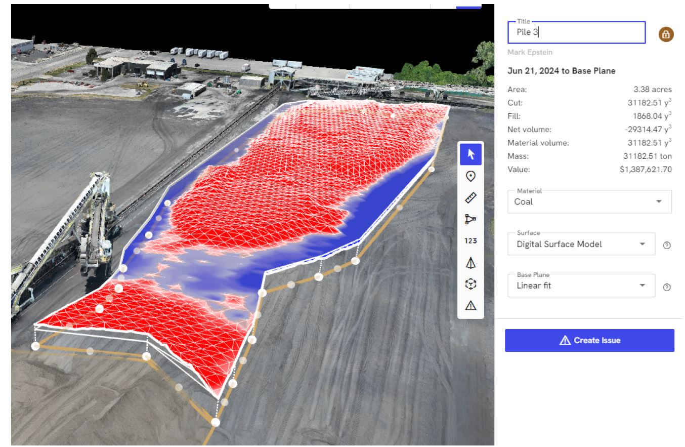
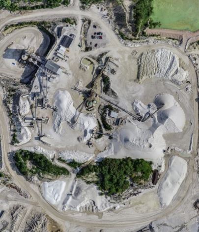
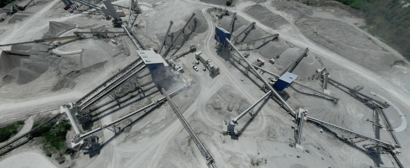
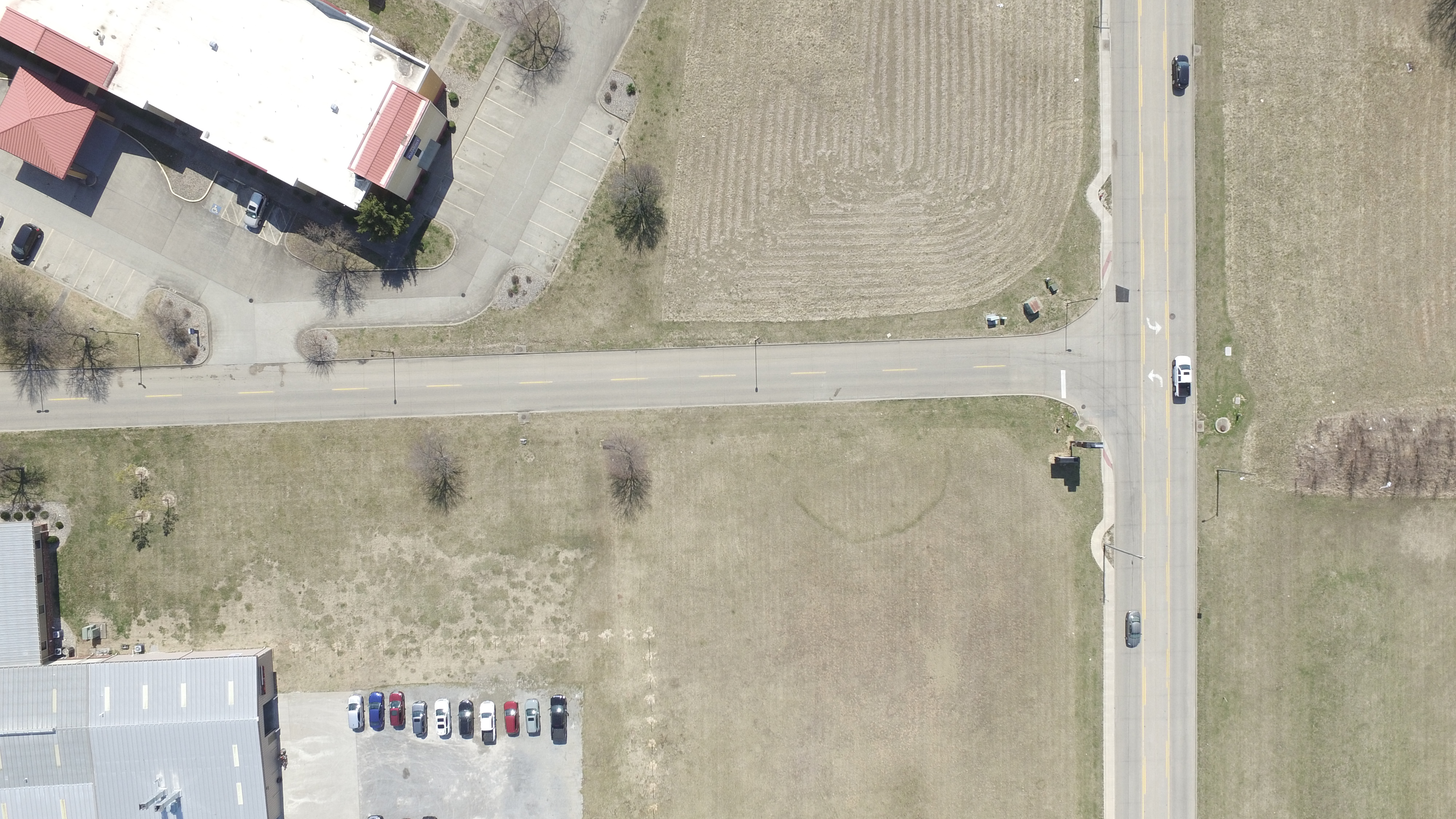
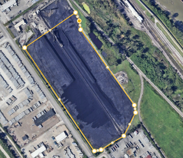
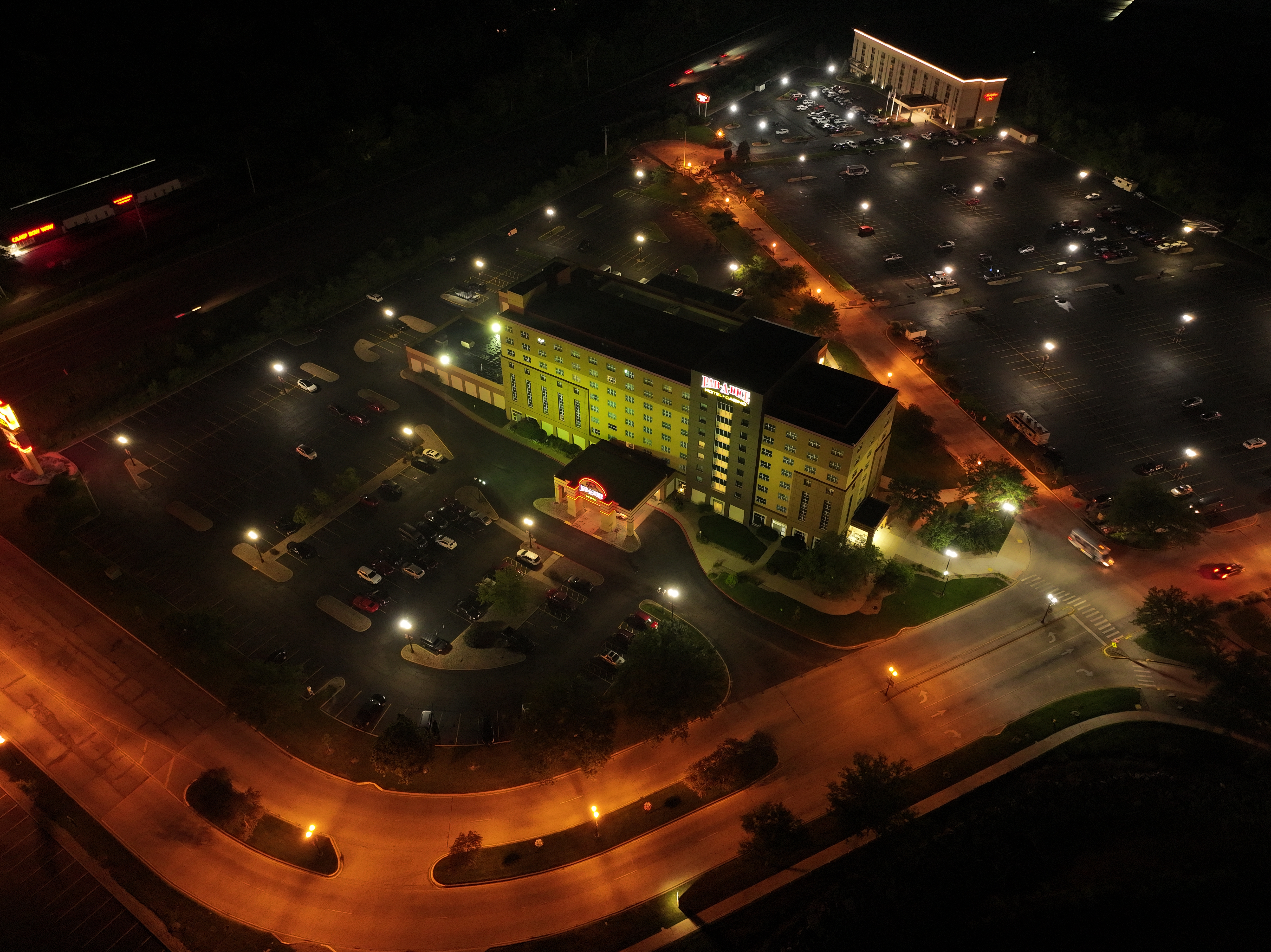
High-Resolution Roof Mapping
Our aerial mapping services produce highly detailed orthomosaic images by combining hundreds of overlapping photographs into one accurate, high-resolution map.
These detailed maps allow facility managers to:
- Measure roof areas
- Locate defects precisely
- Document rooftop equipment
- Monitor repairs
- Share accurate information with consultants, contractors, and insurance providers
Combining thermal imagery with aerial mapping provides a comprehensive understanding of roofing conditions.

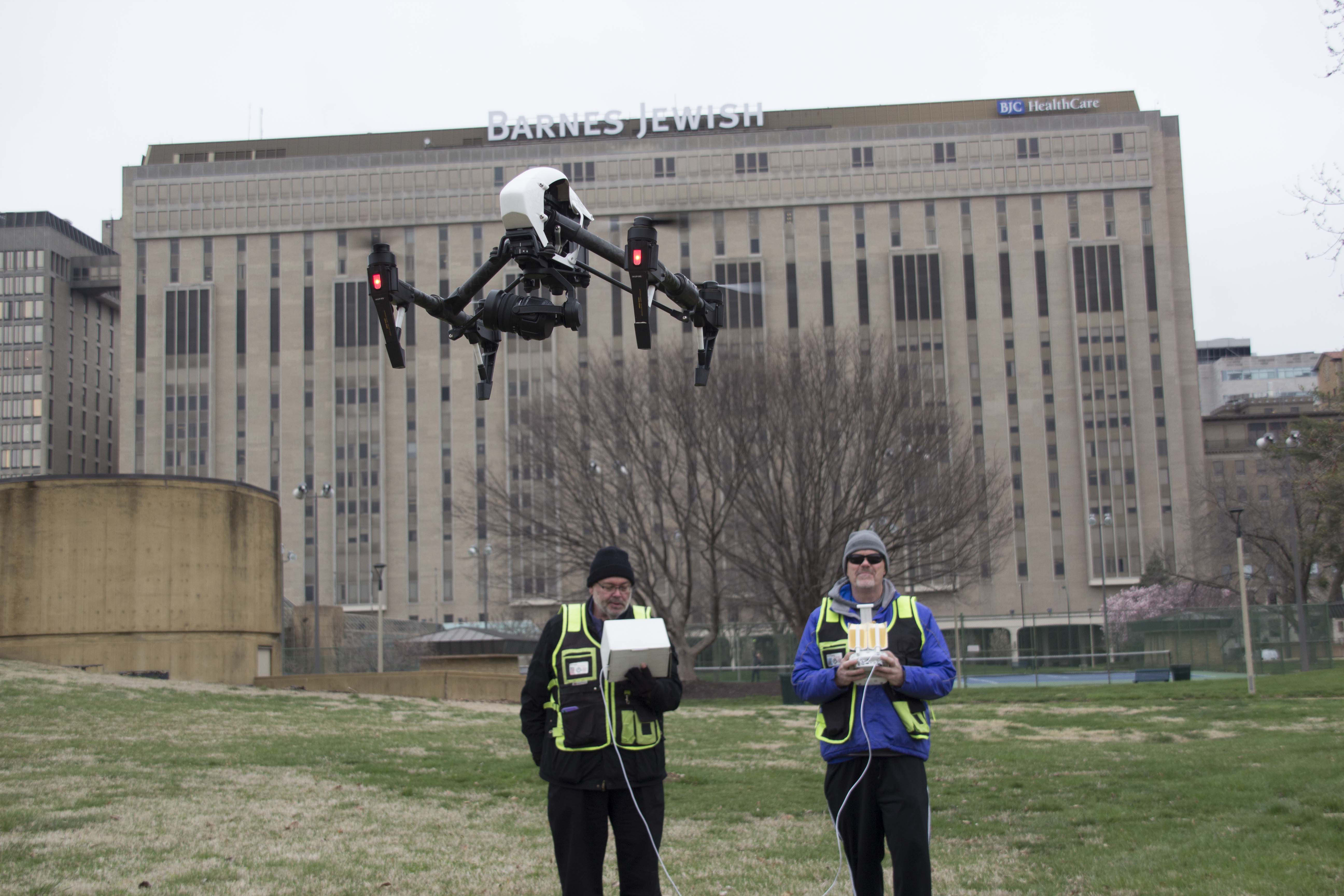
Supporting Schools, Healthcare, Manufacturing, and Commercial Facilities
Every facility has unique operational requirements, but they all share the same goal—protecting valuable infrastructure while minimizing unexpected costs.
Our drone inspection services are ideal for:
- School districts managing multiple campuses
- Hospitals and healthcare facilities protecting critical operations
- Manufacturing facilities seeking predictive maintenance solutions
- Warehouses and distribution centers
- Office complexes
- Municipal buildings
- Commercial real estate portfolios
- Industrial facilities
Routine thermal inspections help identify developing issues before they interrupt operations or require costly emergency repairs.
Building Long-Term Facility Intelligence
At St Louis Drones, we believe inspections should provide more than images—they should generate actionable information.
We help organizations establish proactive maintenance programs through:
- FLIR thermal infrared inspections
- Radiometric temperature analysis
- High-resolution aerial photography
- Orthomosaic mapping
- Timestamped inspection records
- Historical condition monitoring
- Repeatable inspection workflows
This data-driven approach gives facility managers greater confidence when making maintenance and capital planning decisions.
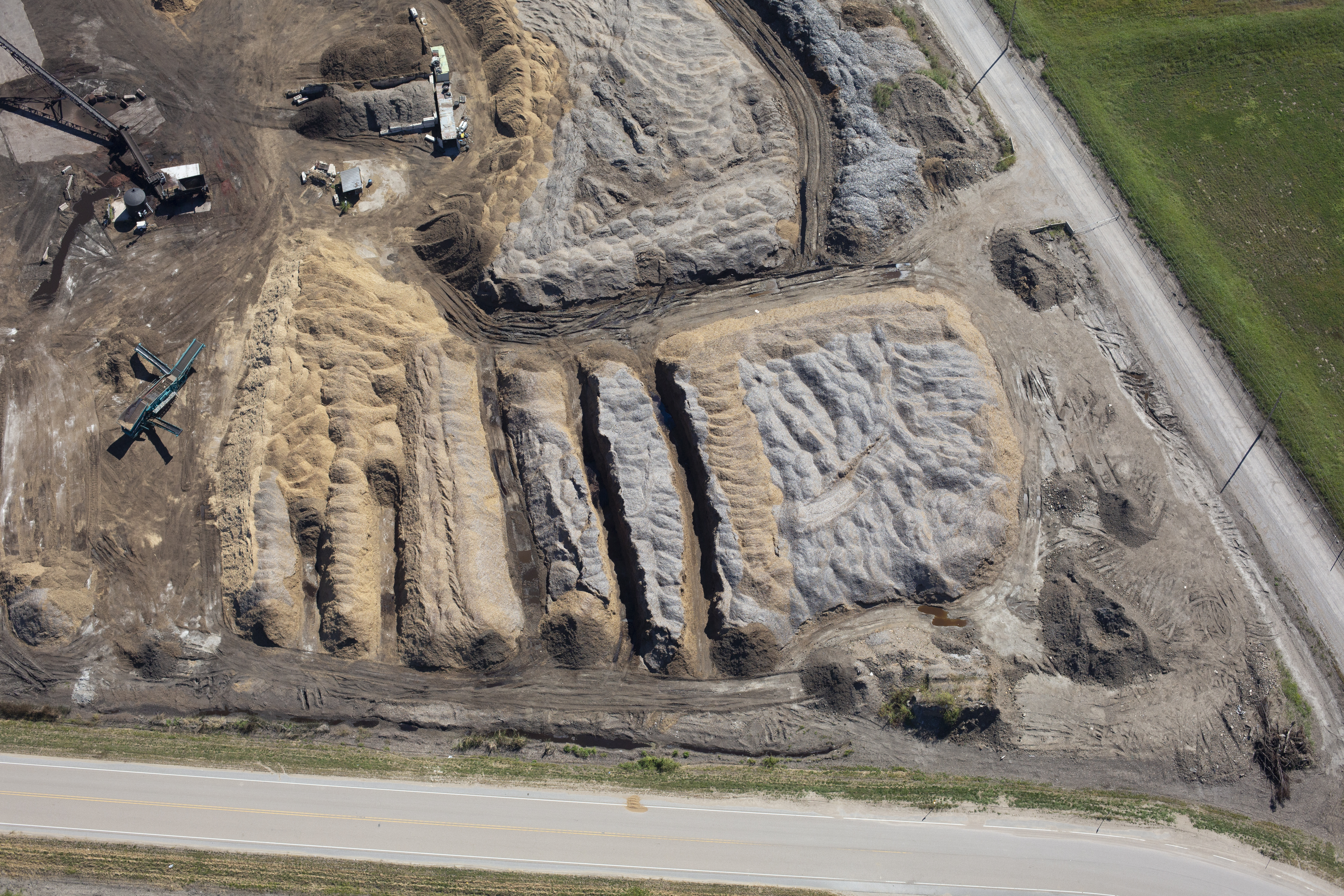
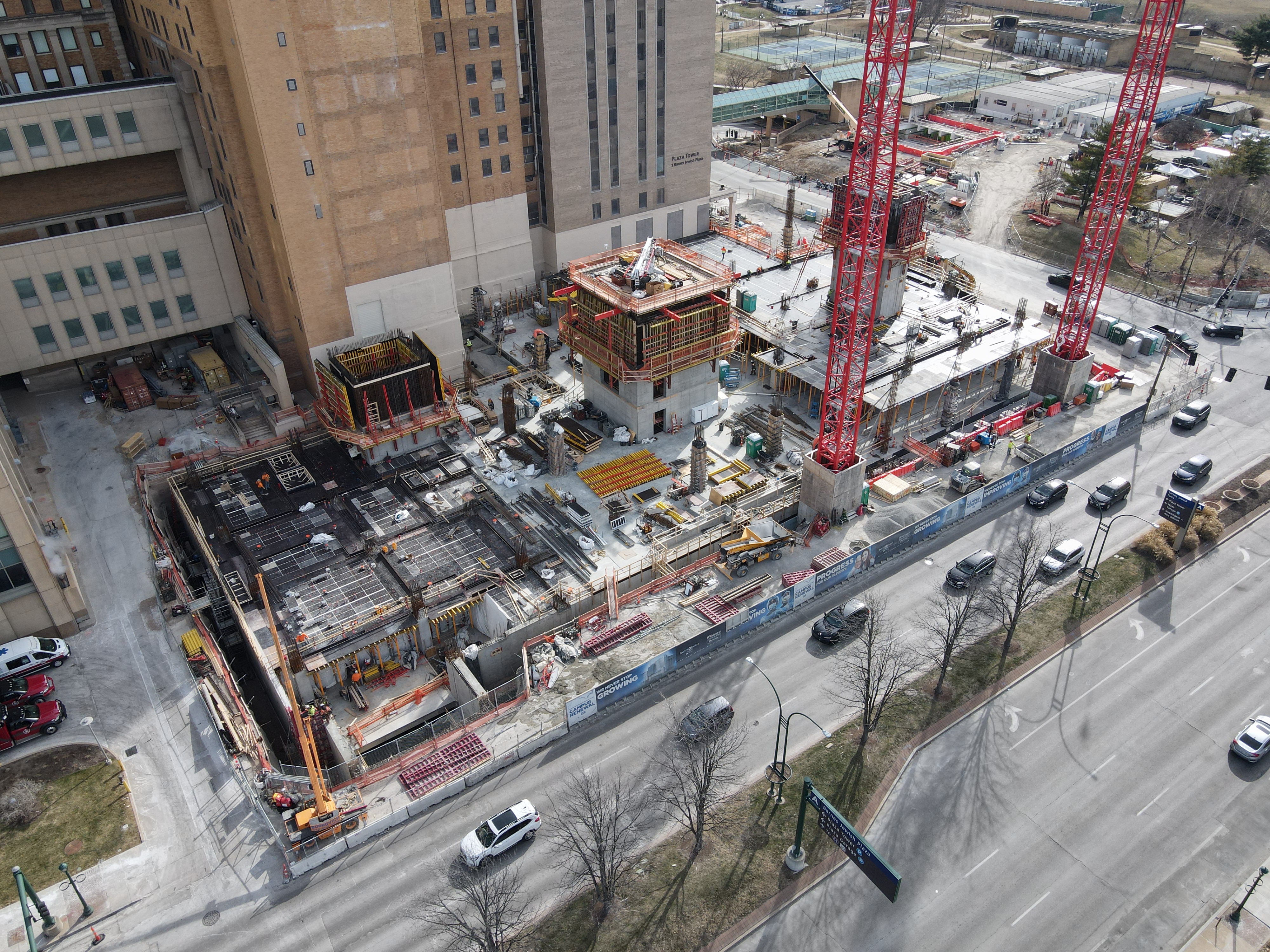
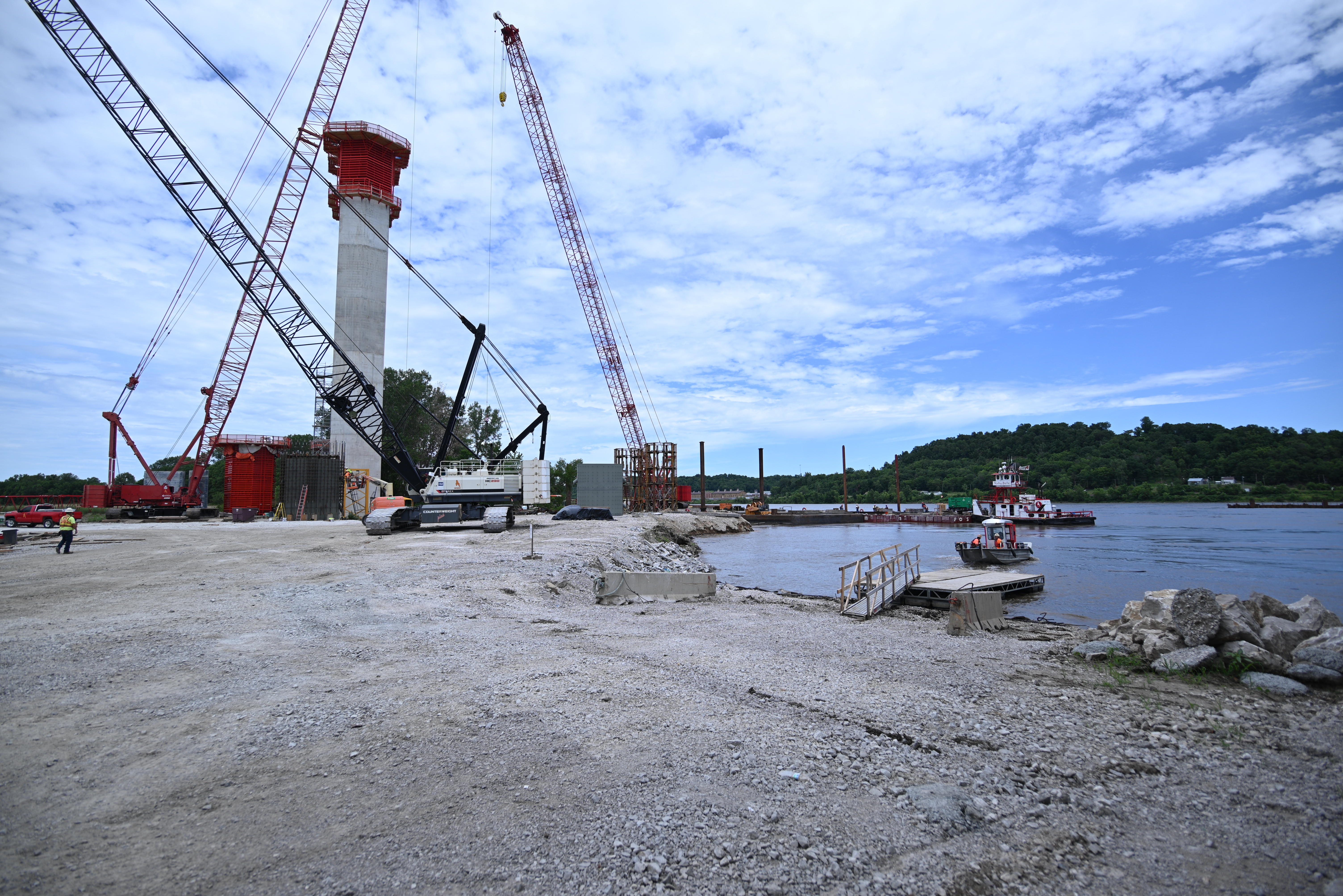
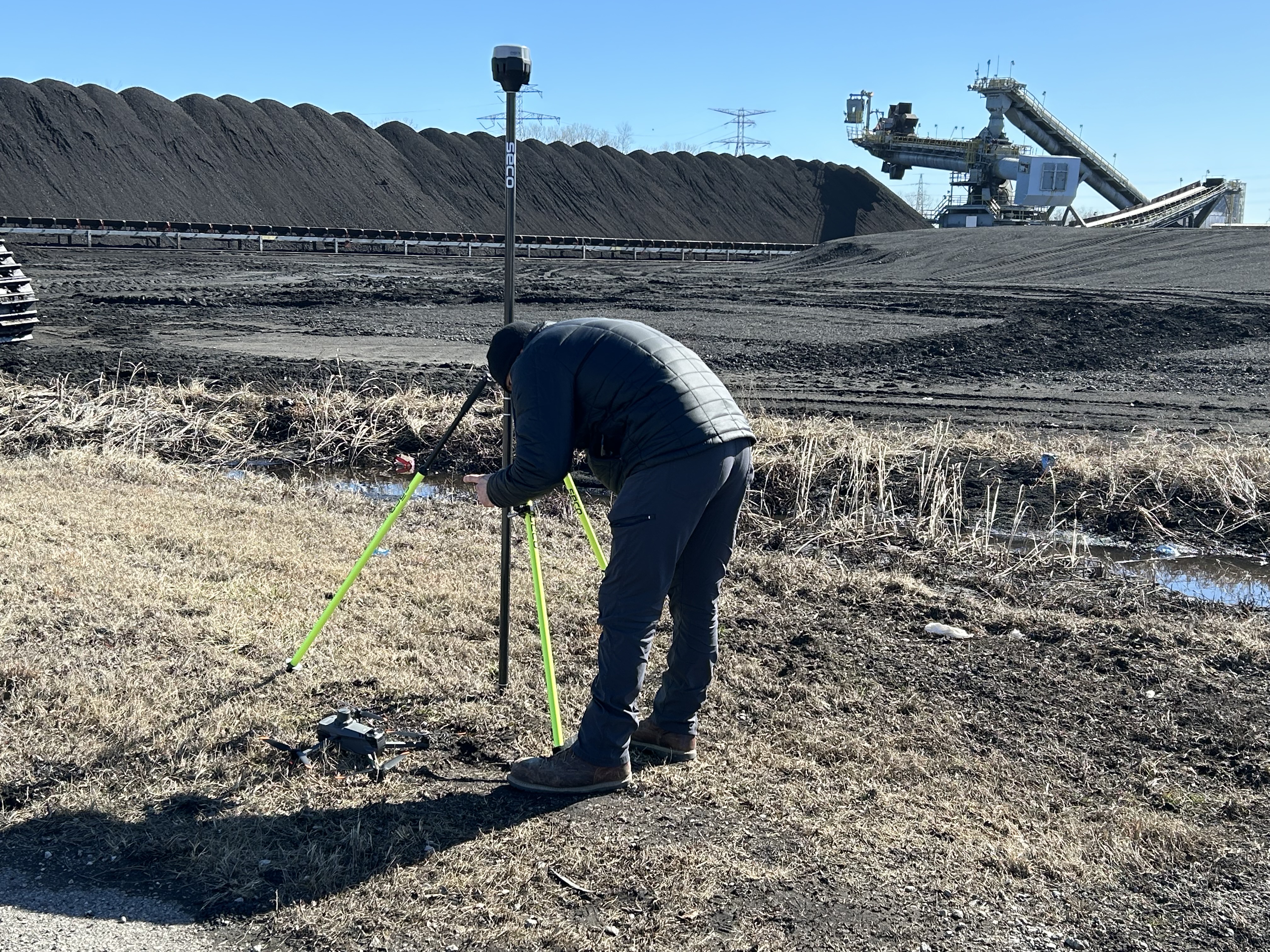
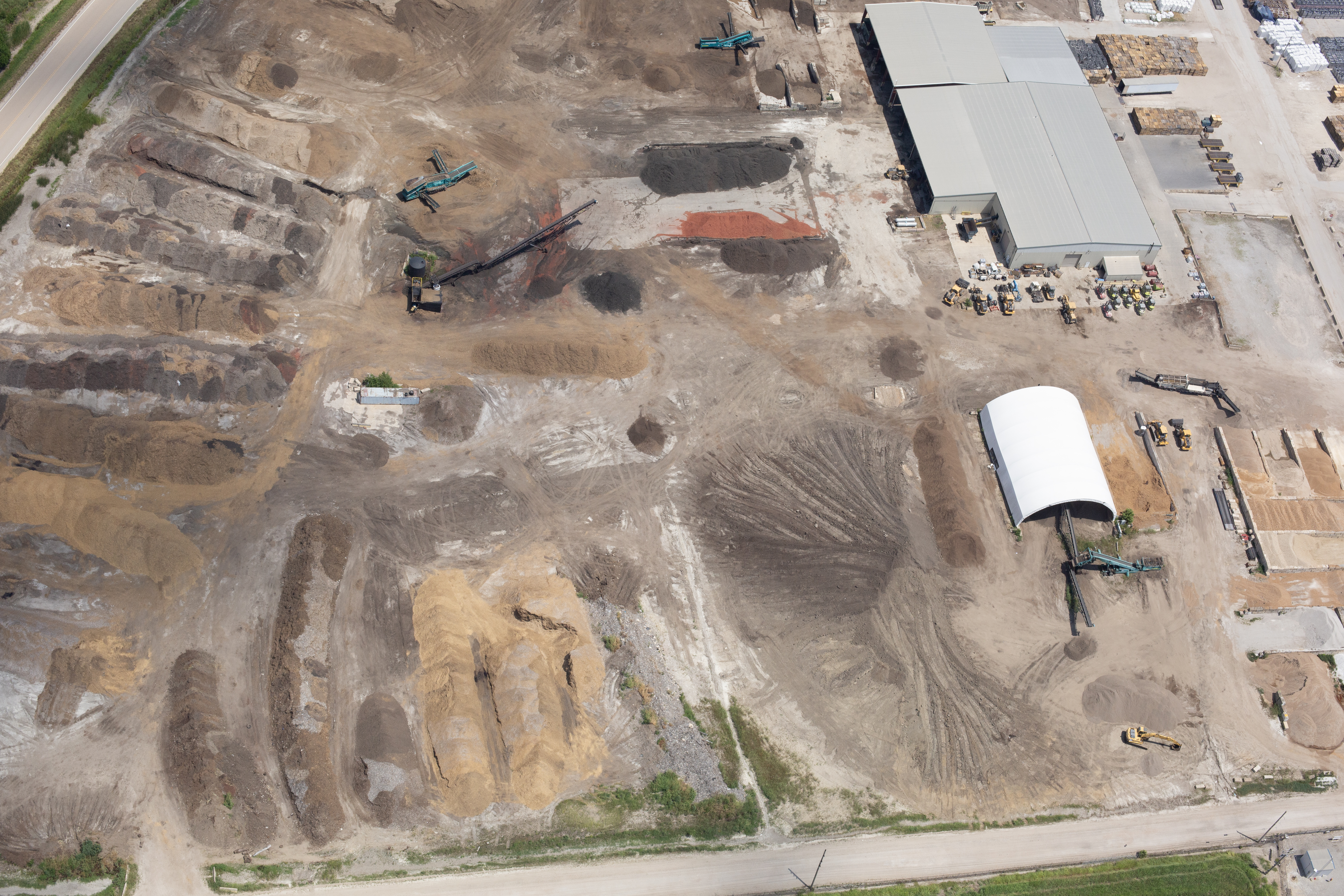
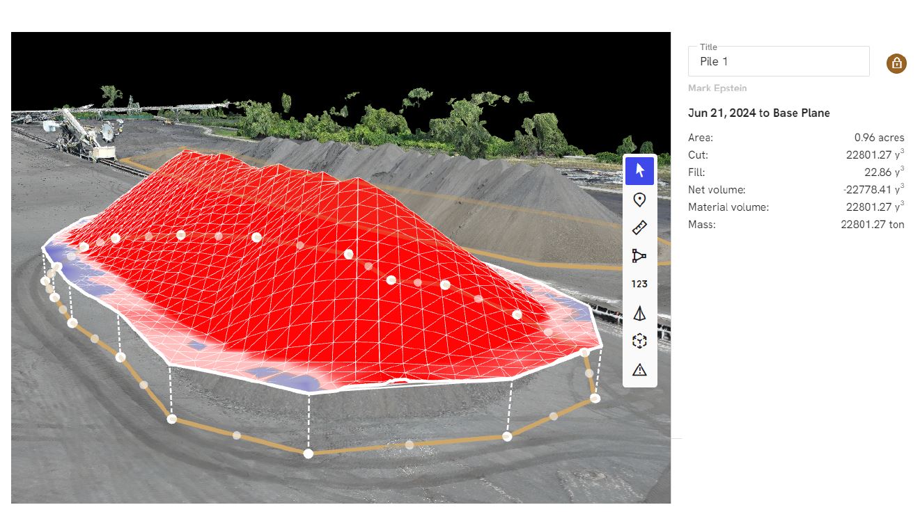
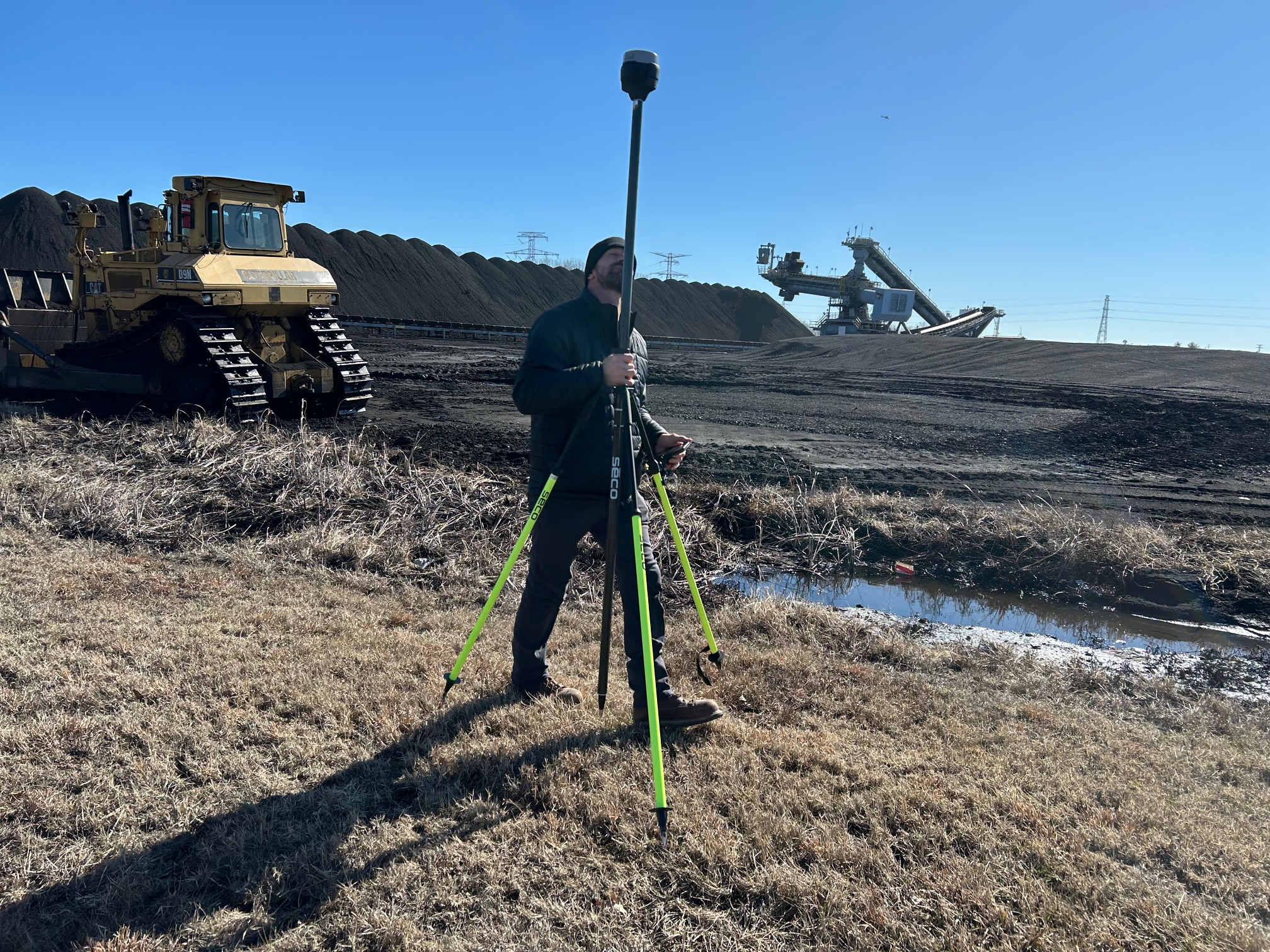
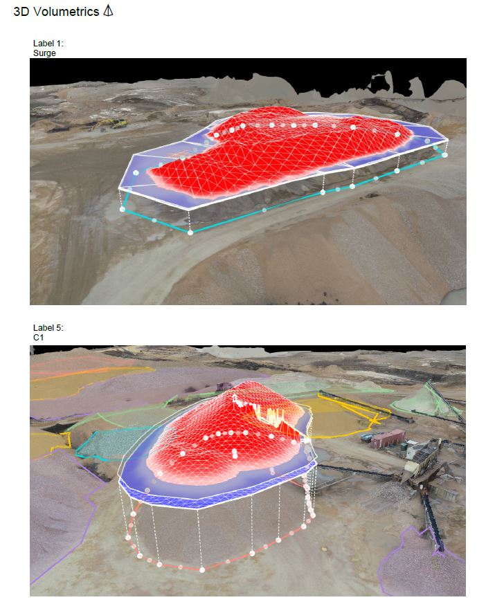
Advanced Drone LiDAR Services
In addition to thermal roof inspections, St Louis Drones provides professional Drone LiDAR services for engineering, surveying, construction, and infrastructure applications.
LiDAR technology rapidly captures millions of elevation points to create highly accurate three-dimensional models for:
- Topographic surveys
- Construction planning
- Engineering projects
- Utility corridor mapping
- Infrastructure inspections
- Site development
- Earthwork analysis
- Environmental documentation
These highly accurate datasets support architects, engineers, surveyors, contractors, and public agencies with dependable geospatial information.
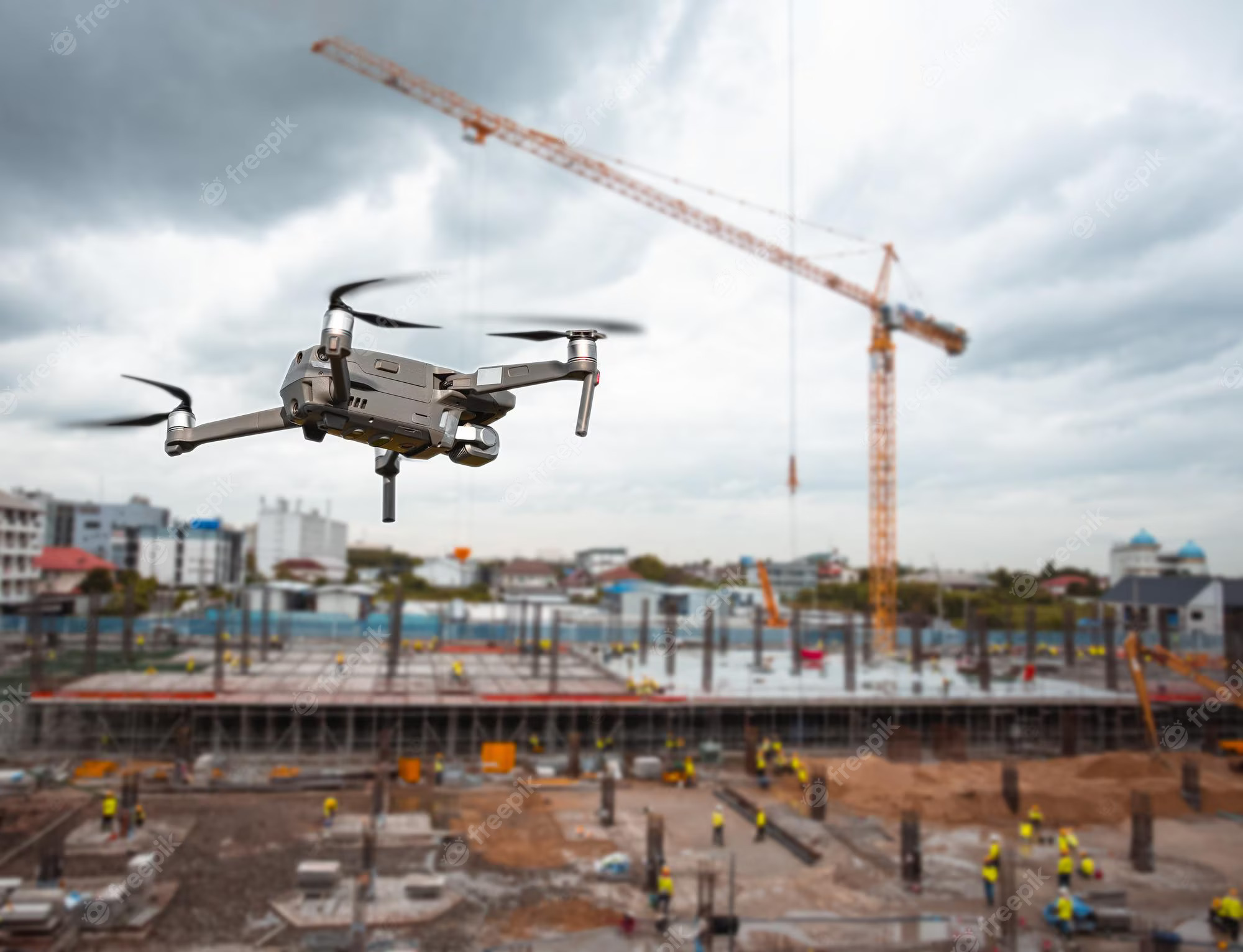
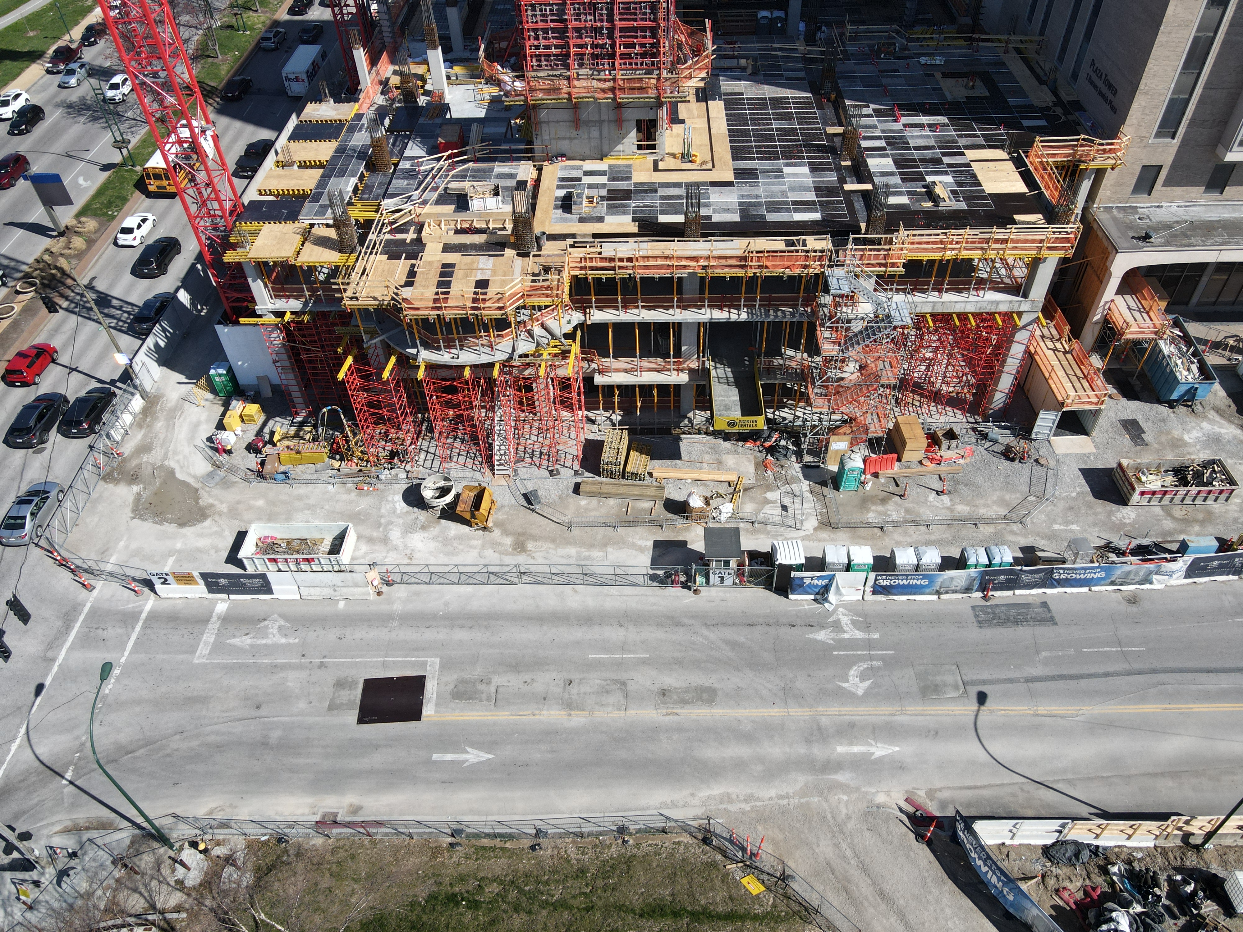
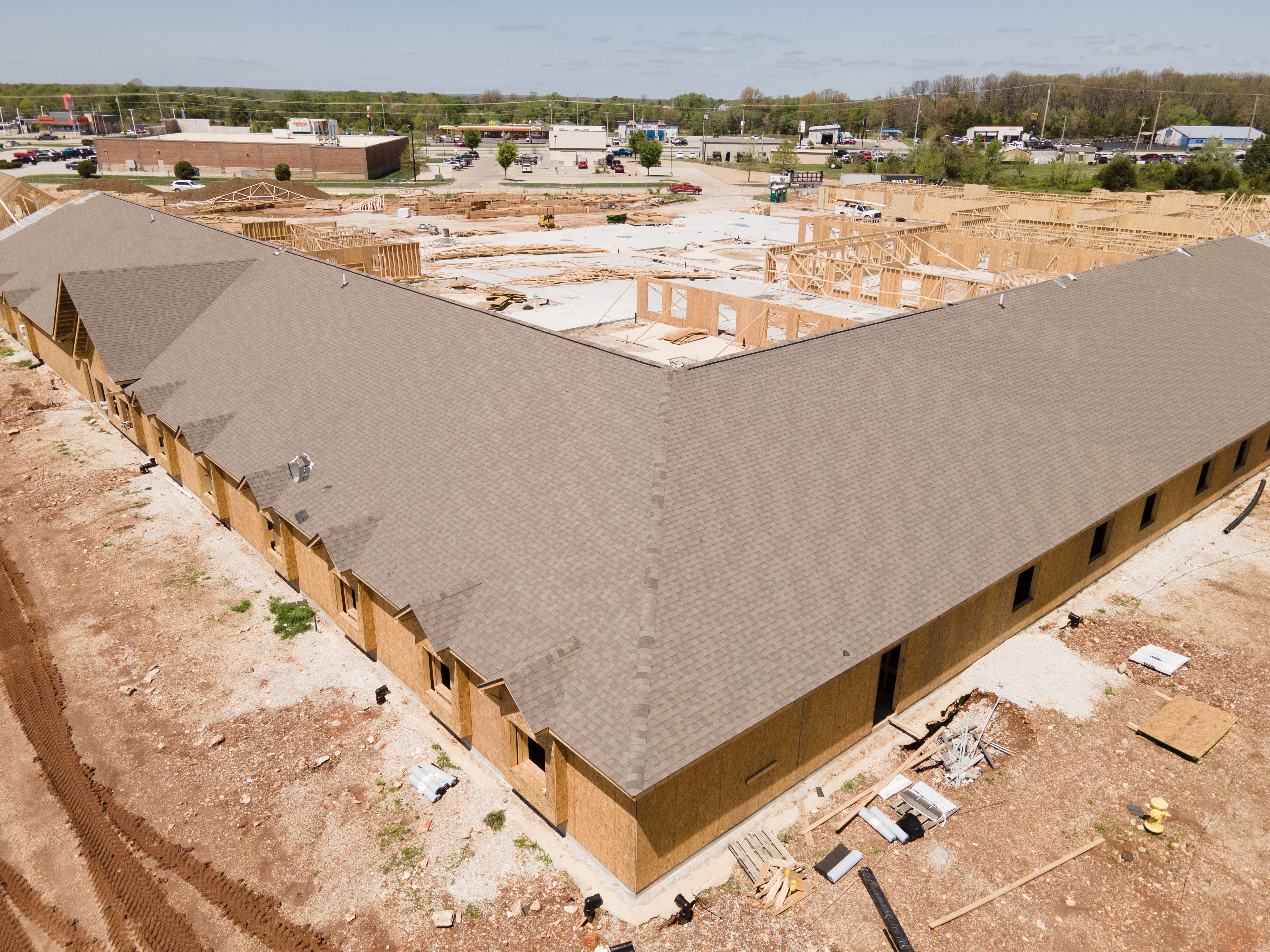
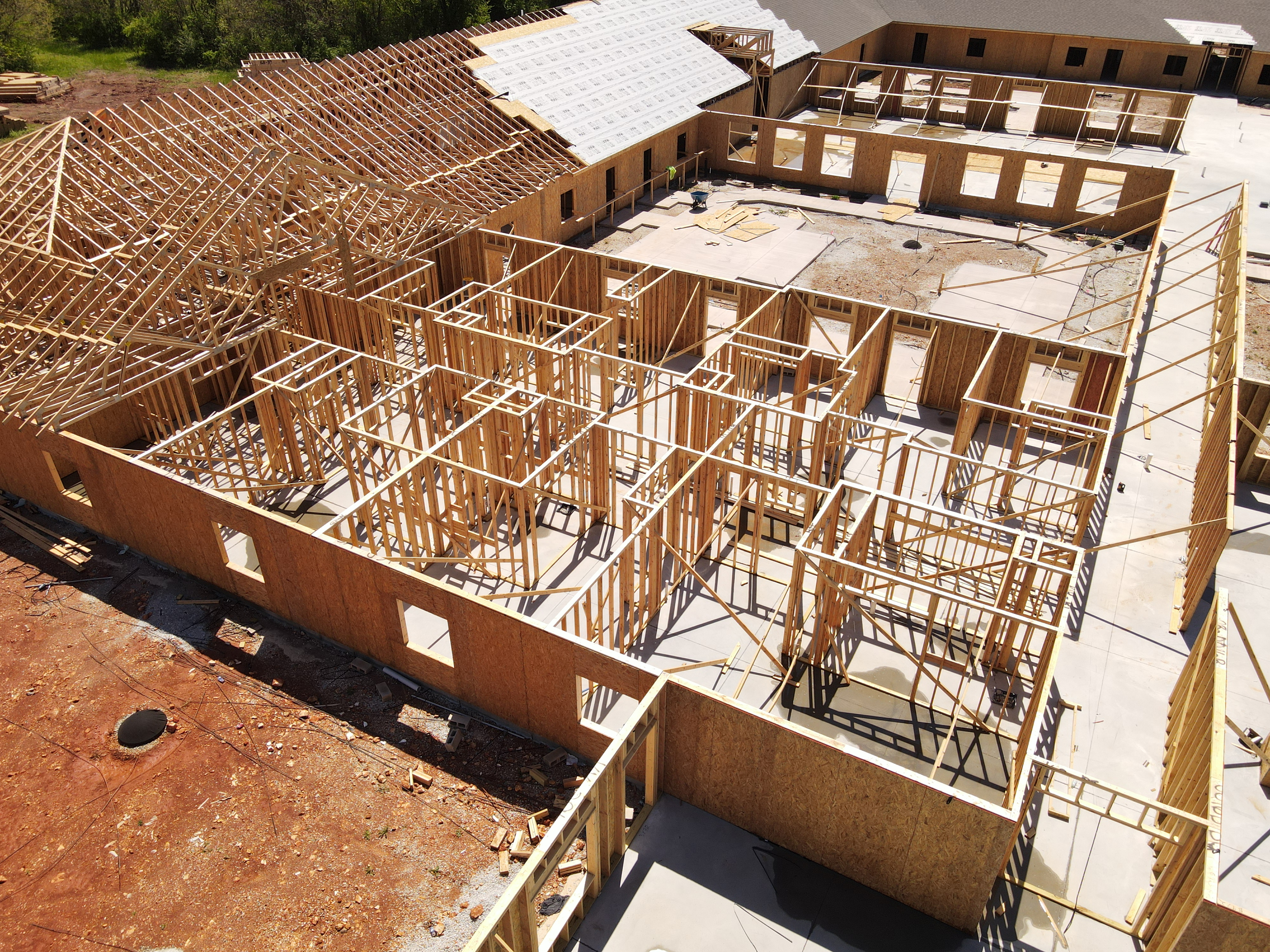
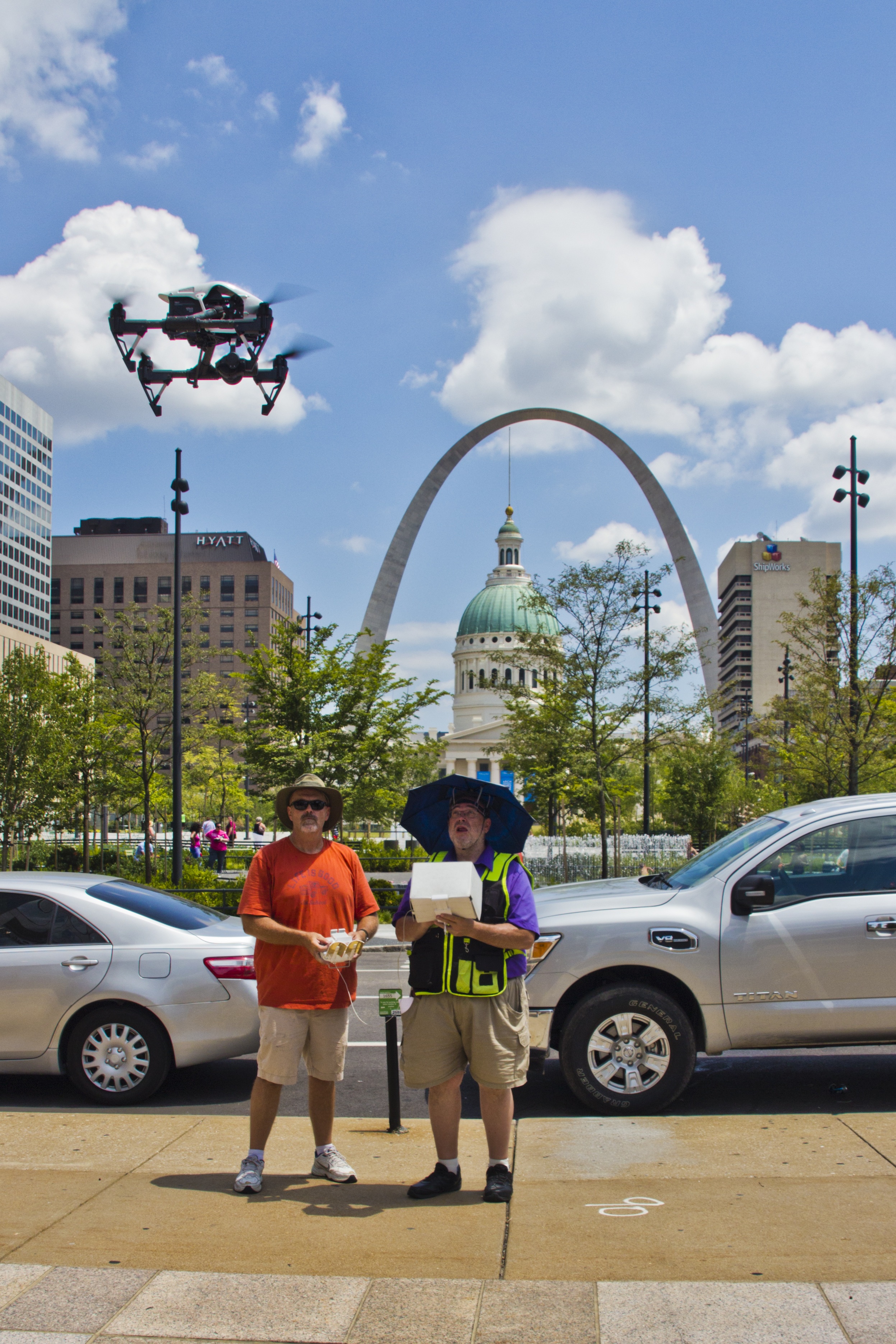
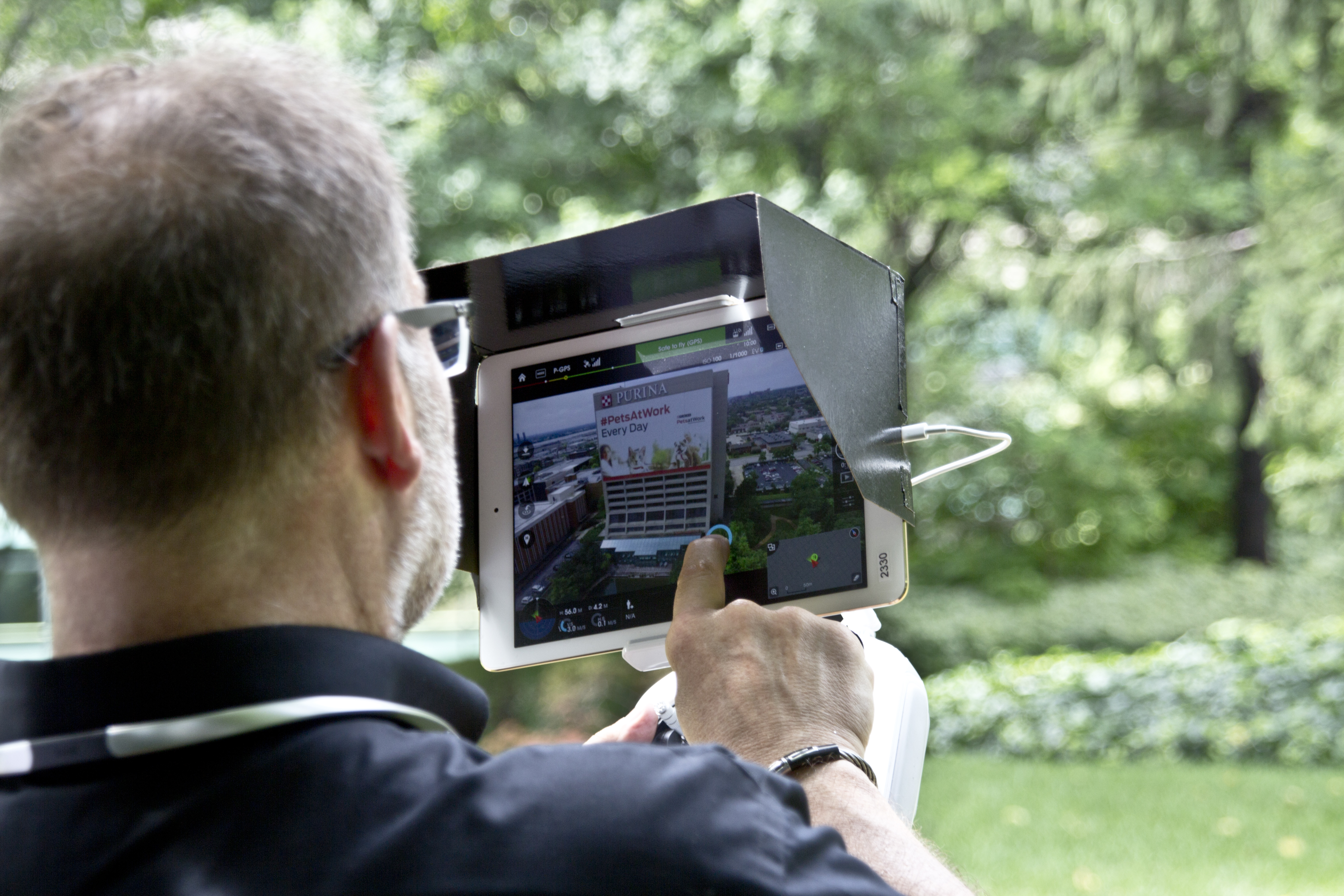
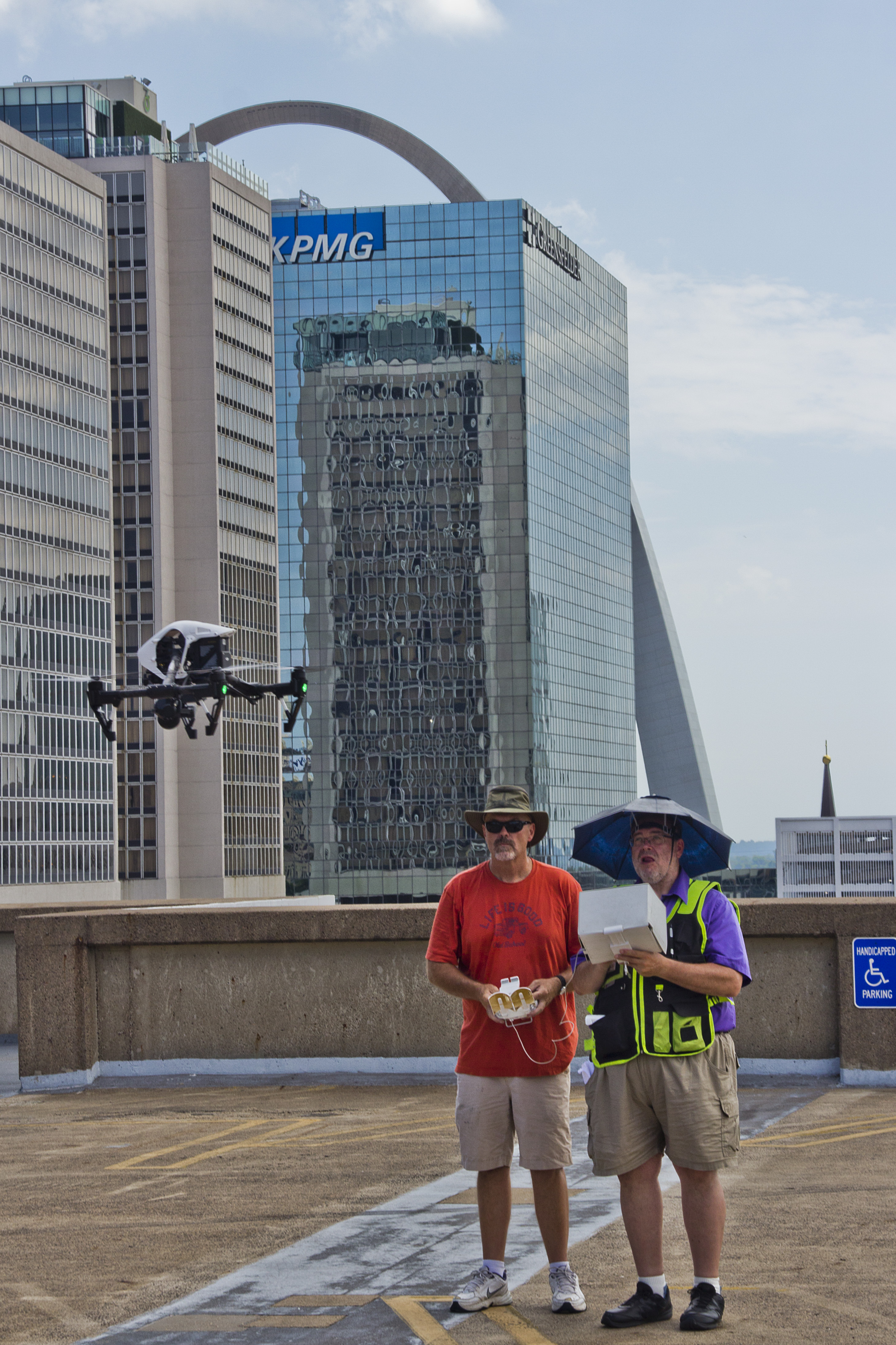
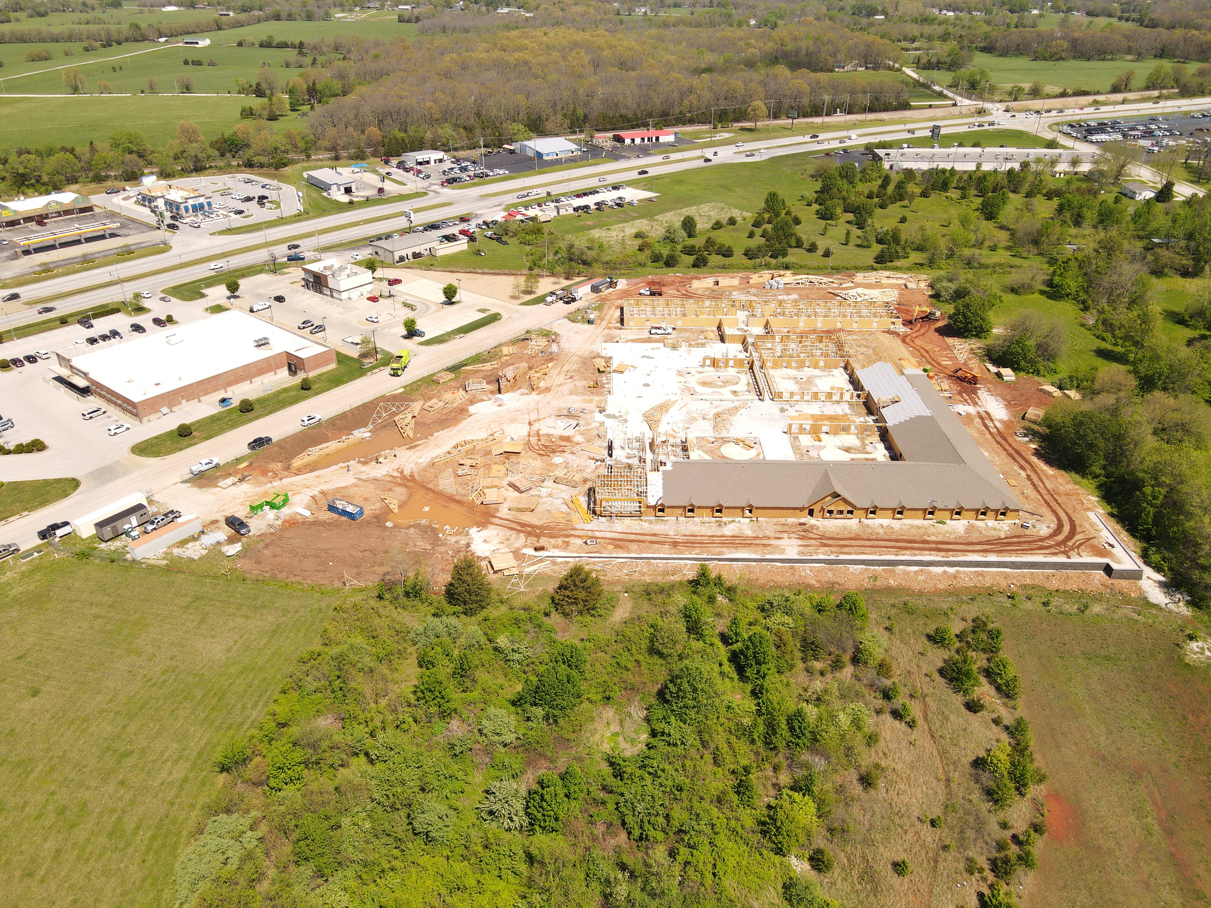
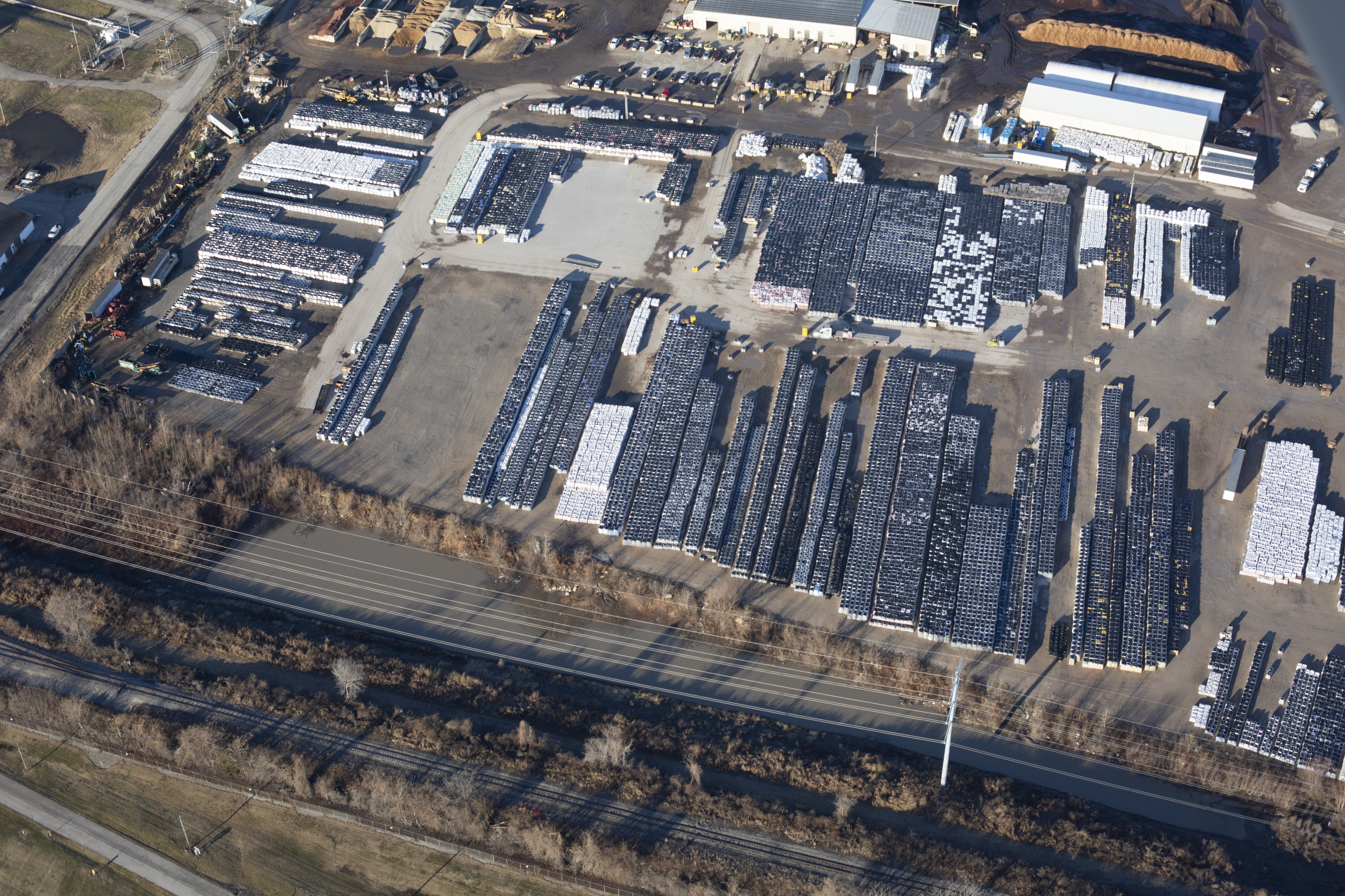
Professional Aerial Cinematography
Drone technology also offers tremendous creative possibilities.
St Louis Drones produces cinematic aerial photography and video for marketing, corporate communications, construction progress documentation, tourism, industrial promotions, commercial real estate, and broadcast-quality productions.


Our experienced drone pilots combine advanced flight techniques with professional imaging equipment to create compelling aerial visuals that strengthen marketing campaigns and tell engaging stories from perspectives impossible to achieve from the ground.
Why Choose St Louis Drones?
Commercial drone operations require far more than simply flying an aircraft. They require experience, planning, regulatory compliance, technical expertise, and a commitment to delivering accurate, dependable results.
At St Louis Drones, we combine advanced drone technology with professional imaging expertise to provide actionable information that helps clients protect valuable assets, improve maintenance planning, and make confident business decisions.
Whether performing FLIR thermal roof inspections, generating high-resolution aerial maps, capturing LiDAR datasets, or producing cinematic aerial content, our focus is on delivering exceptional quality, precise data, and outstanding customer service.
Protect Your Roofing Investment with Advanced Drone Technology
A commercial roof is one of the most valuable assets a facility owner manages. Detecting hidden moisture early can reduce repair costs, extend roof life, improve maintenance planning, and help prevent costly operational disruptions.
With advanced FLIR thermal infrared drone inspections from St Louis Drones, hidden roofing problems become visible before they become expensive failures.

Partner with St Louis Drones
St Louis Drones provides professional commercial drone services for businesses, government agencies, schools, healthcare systems, manufacturers, engineers, architects, contractors, and commercial property owners throughout the St. Louis region and beyond. Our capabilities include FLIR thermal infrared inspections, radiometric imaging, orthomosaic mapping, Drone LiDAR, aerial photography, aerial video production, construction documentation, infrastructure inspections, and cinematic drone services. Using the latest drone technology and advanced imaging systems, we deliver accurate data, actionable insights, and exceptional aerial imagery that help organizations protect assets, improve decision-making, and elevate their visual communications.