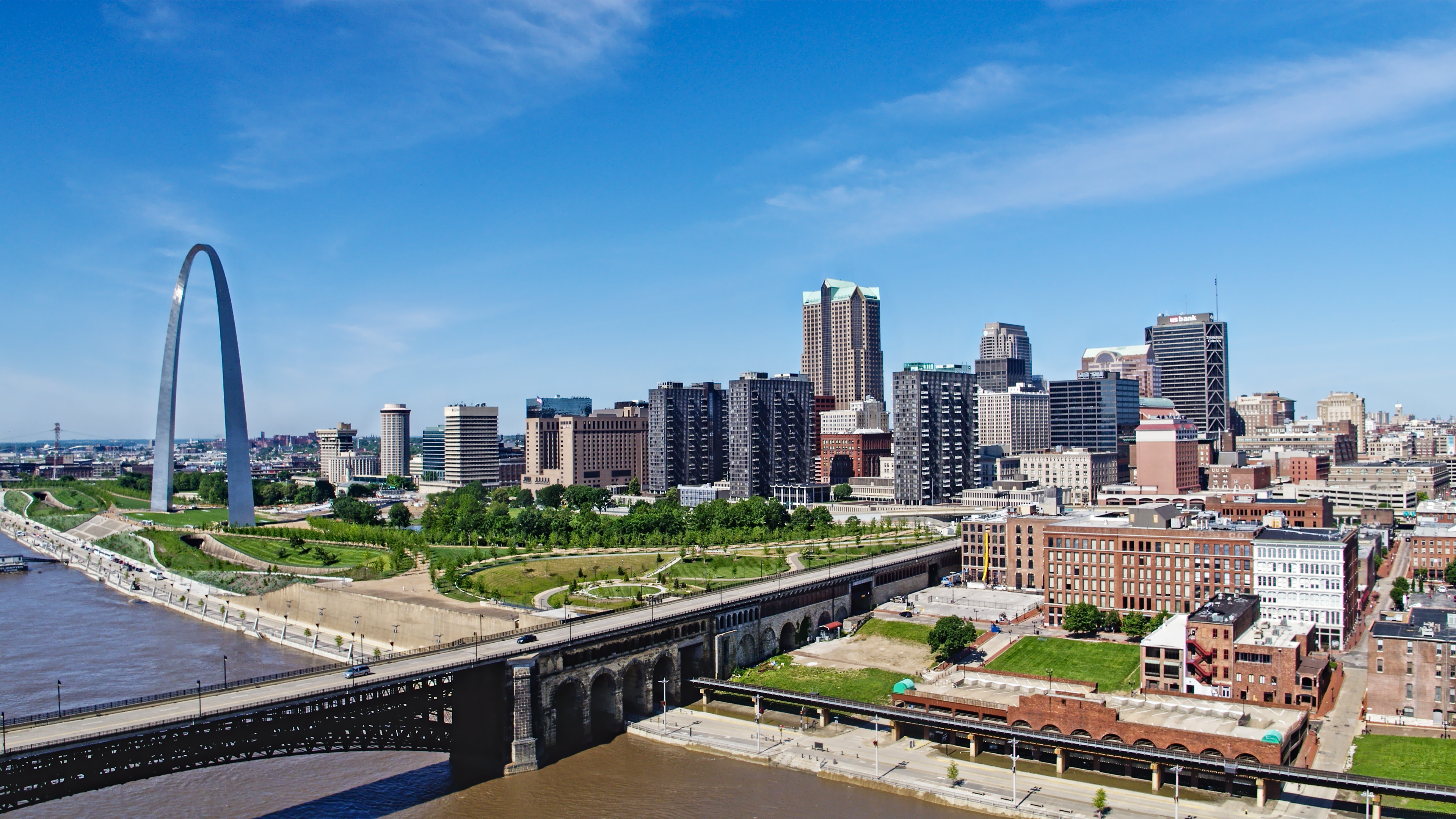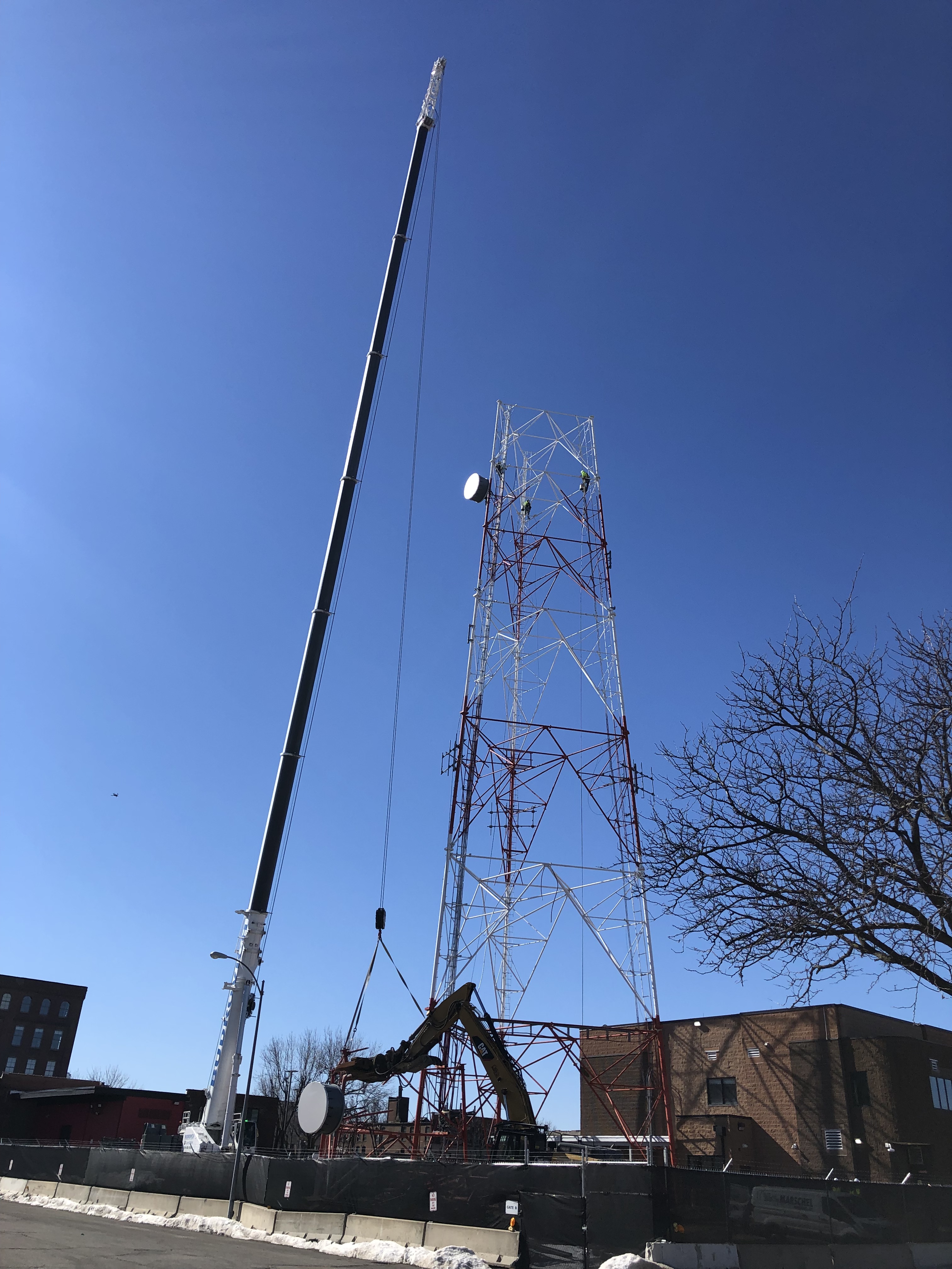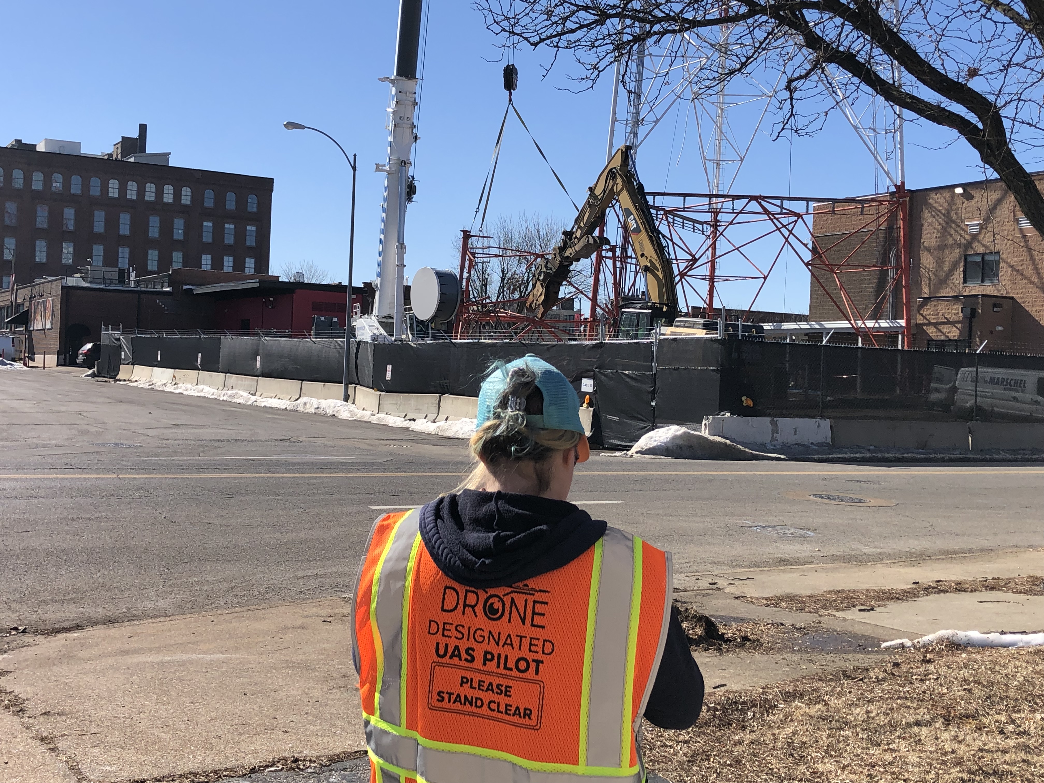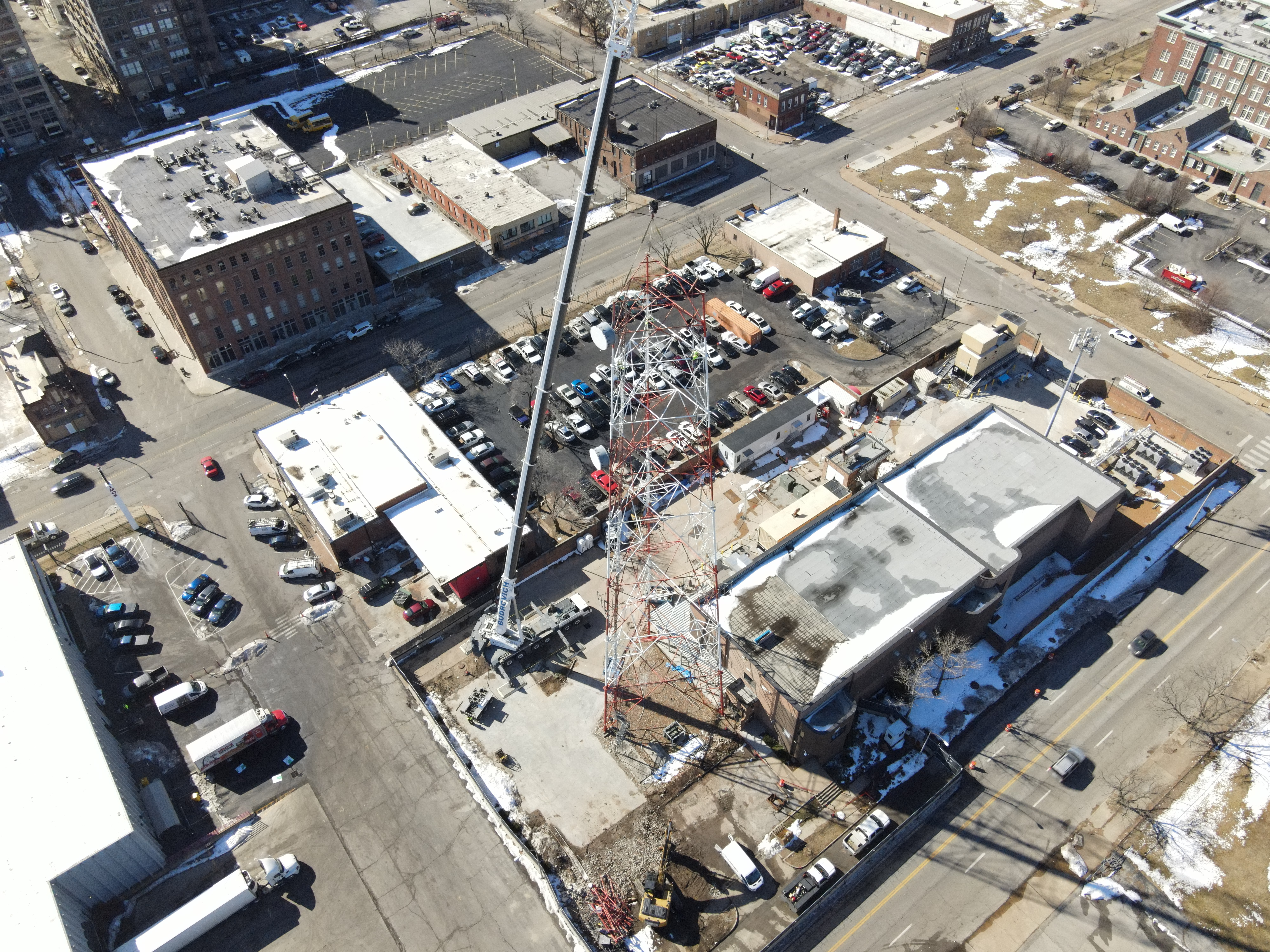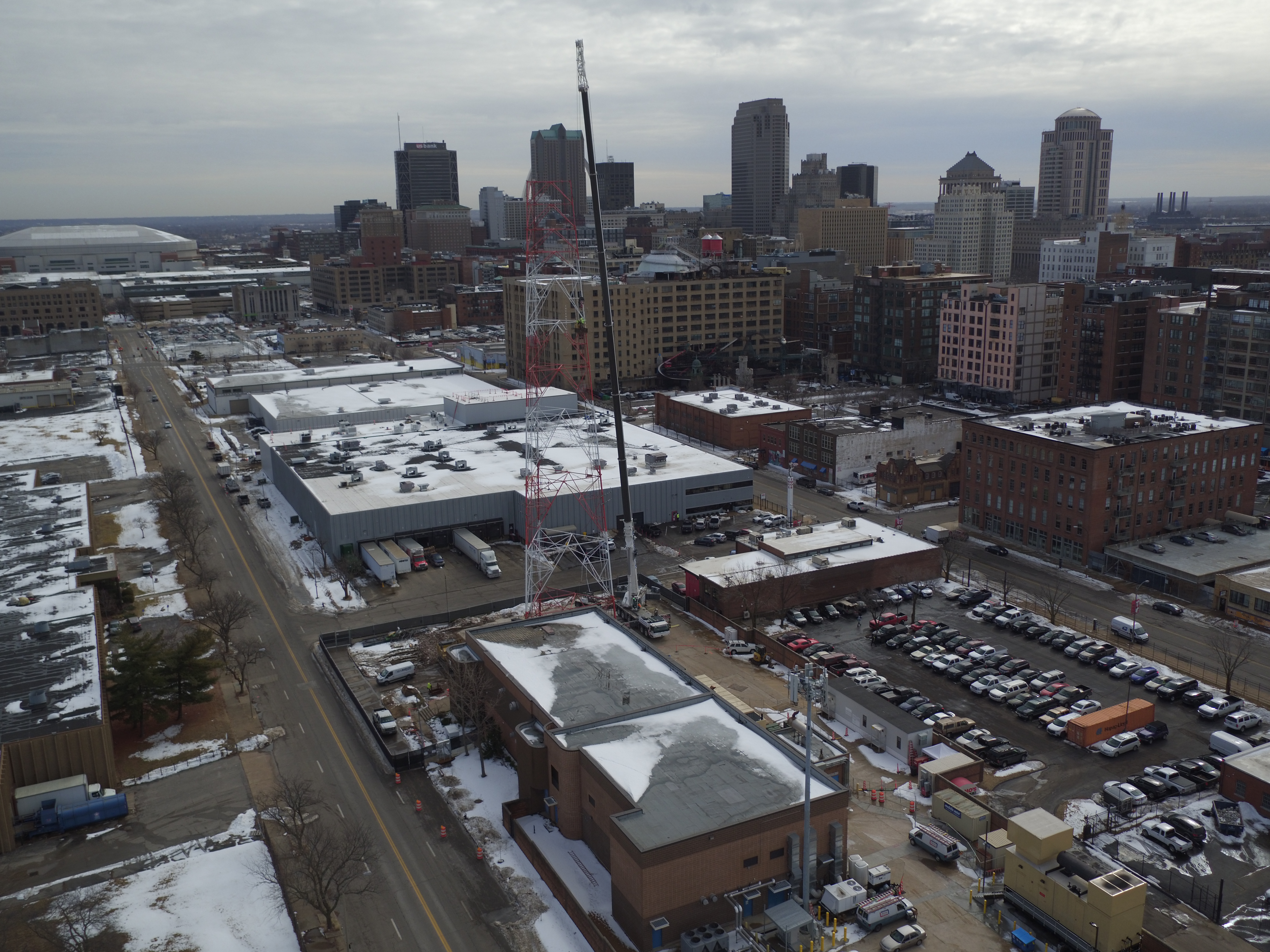
Our St. Louis drone videographers and camera crews can assist your company with any video production projects. We assist with large corporate projects, special events in St. Louis, documentaries, live sports, real estate and much more. We are your one stop shop for high quality aerial video production, editing and delivering throughout the St. Louis and surrounding areas.

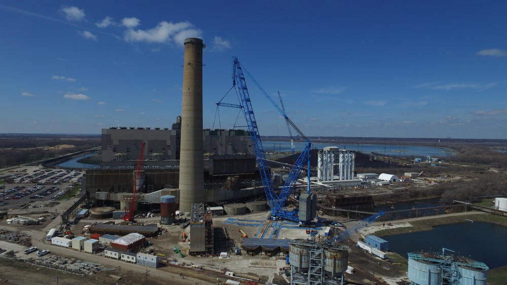
Many companies like to describe the working environment and how their products are made but talking about it can only get you so far. Our drone fly-through videos will record a unique viewpoint to show everyone how what your culture looks like physically and how you produce your product in an environmentally and labor friendly manner. It can be effective with your team in their workspace, your production facility, shipping facility, placement of your product in major retailers or demonstrating your products outside.
stlouisdrones@gmail.com
Robert Haller, Drone Specialist
314-604-6544