Tag Archives: ai

Why More Companies Are Using Drones for Stockpile Reports: Elevating Accuracy, Efficiency, and ROI


In the fast-paced world of logistics, mining, construction, and materials management, precision and speed are critical. Whether you’re reporting inventory to stakeholders, conducting compliance audits, or planning future procurement, accurate stockpile measurements can directly impact financial forecasting and operational success. Increasingly, companies are turning to drone technology to handle stockpile reporting—and for good reason.

At St Louis Drones, we’ve seen firsthand how aerial solutions are transforming traditional inventory tracking, reducing risk, and enhancing operational insight. Below, we break down why more businesses are trading manual surveys and ground-based estimates for drone-powered stockpile reports.


1. Precision That Outperforms Manual Methods

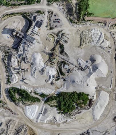
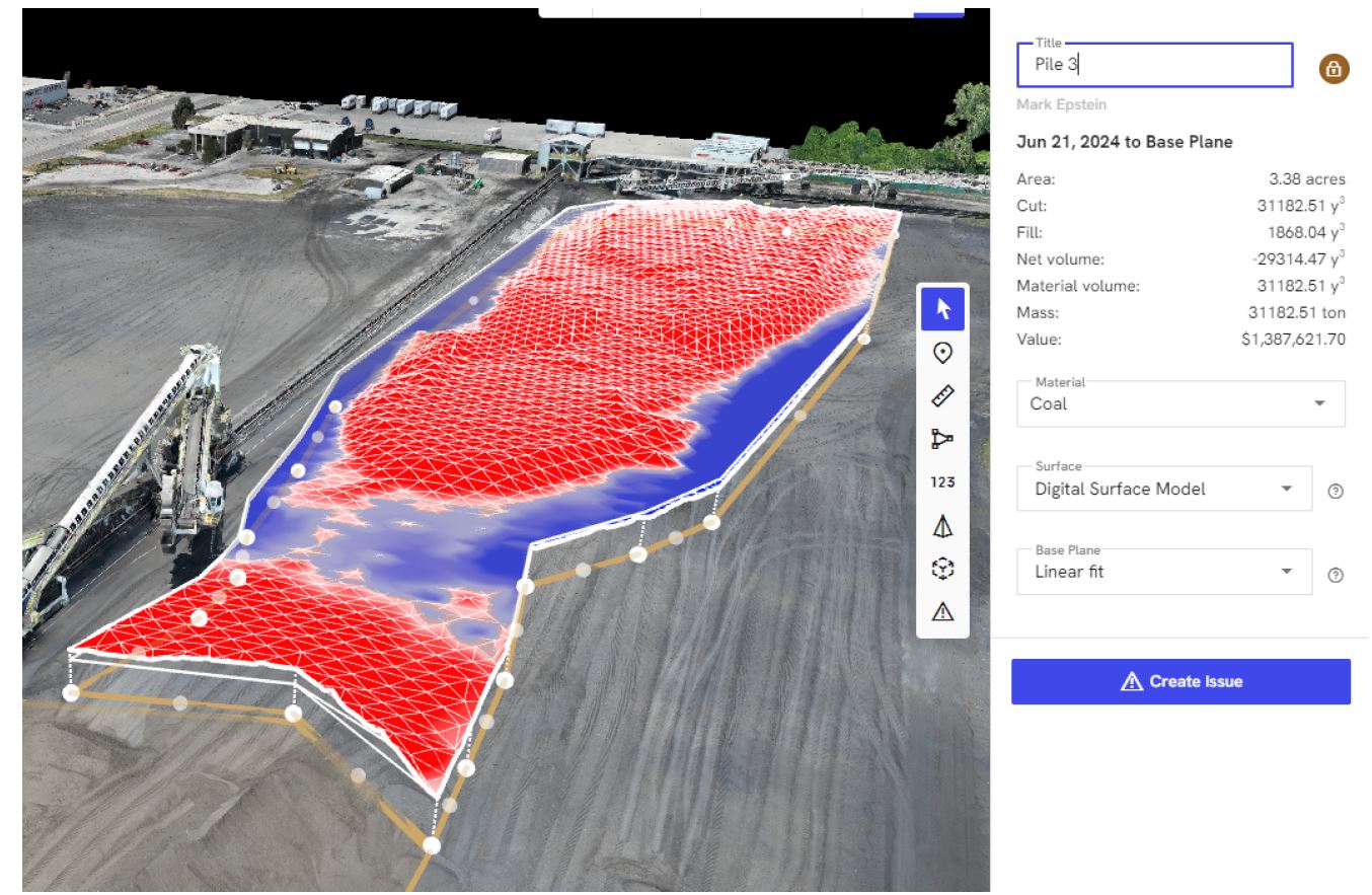
Manual stockpile measurement techniques—such as walking the perimeter with a GPS rover or using ground-based laser scans—are time-consuming and prone to human error. Drones, however, use advanced photogrammetry and LiDAR (Light Detection and Ranging) to create accurate 3D models that provide volumetric data down to a few centimeters of error. This level of precision allows for better resource management, waste reduction, and stronger forecasting.

2. Time-Saving and Cost-Effective

Traditional survey methods can require shutting down operations, rerouting equipment, and coordinating multiple teams. A licensed drone pilot can collect all necessary data in a fraction of the time—often in under an hour. Faster data collection means you can complete more frequent stockpile reports without affecting your daily workflow. The resulting operational savings quickly offset the cost of drone services.

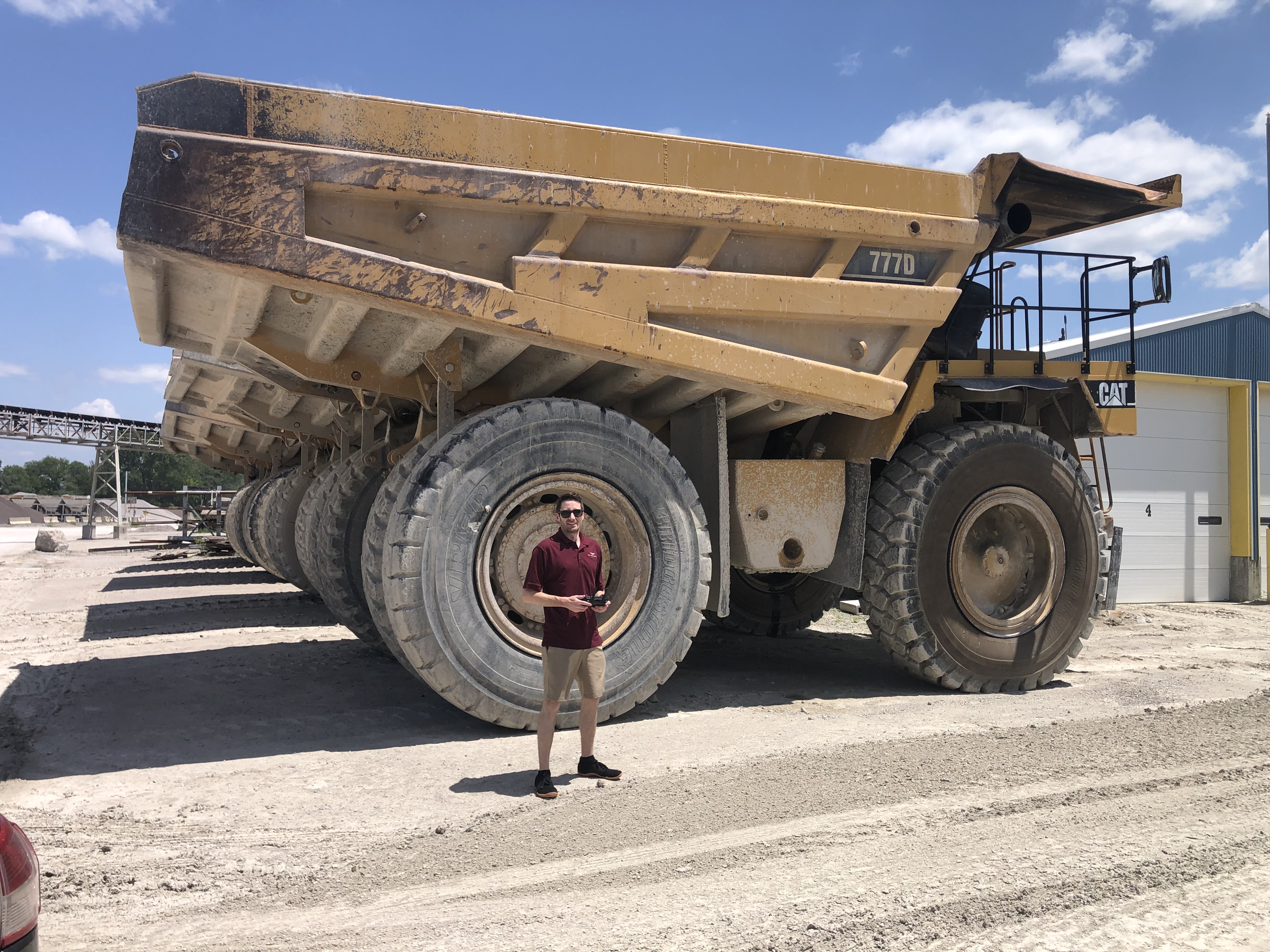
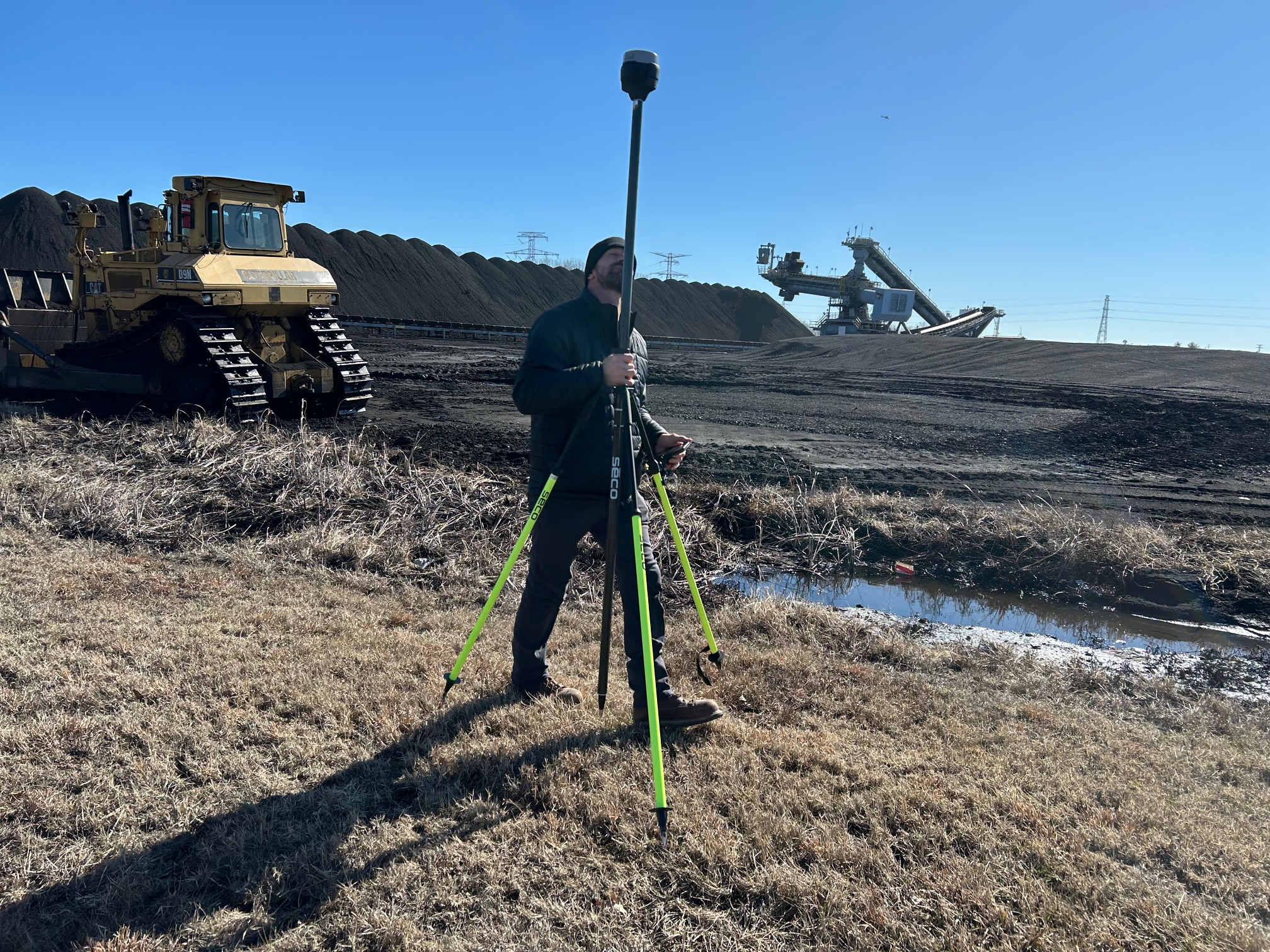
St Louis Drones shooting with REM Tech, Mark Epstein (l) and Karl Remick for volumetric stockpile reporting.

3. Improved Safety and Risk Mitigation

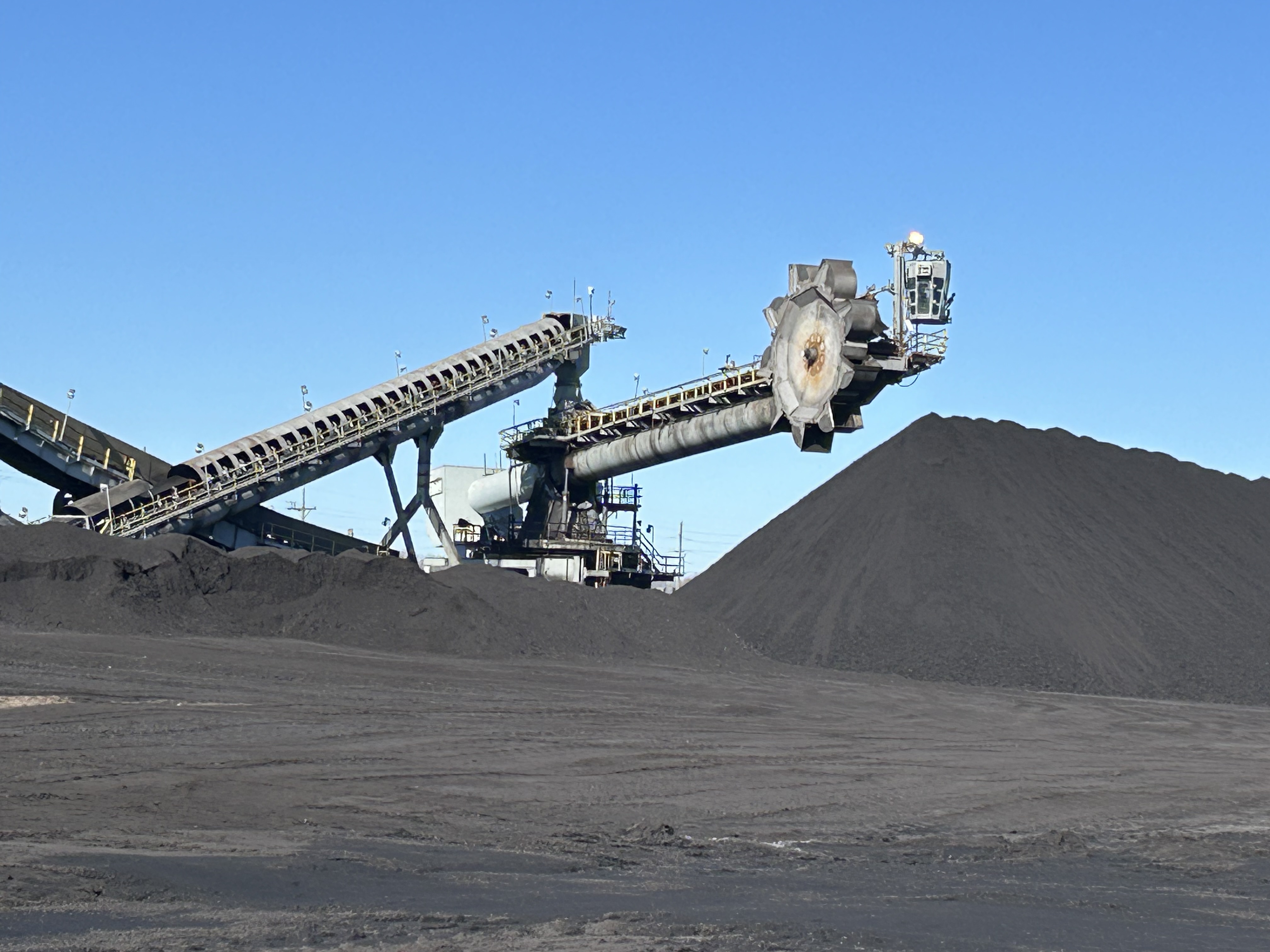
Climbing piles of aggregate, sand, coal, or scrap metal poses serious safety risks. Using drones eliminates the need for personnel to physically access stockpiles. Aerial surveys keep your employees on the ground, away from unstable terrain and heavy machinery—reducing liability and ensuring compliance with OSHA safety standards.

4. Data That Drives Decisions

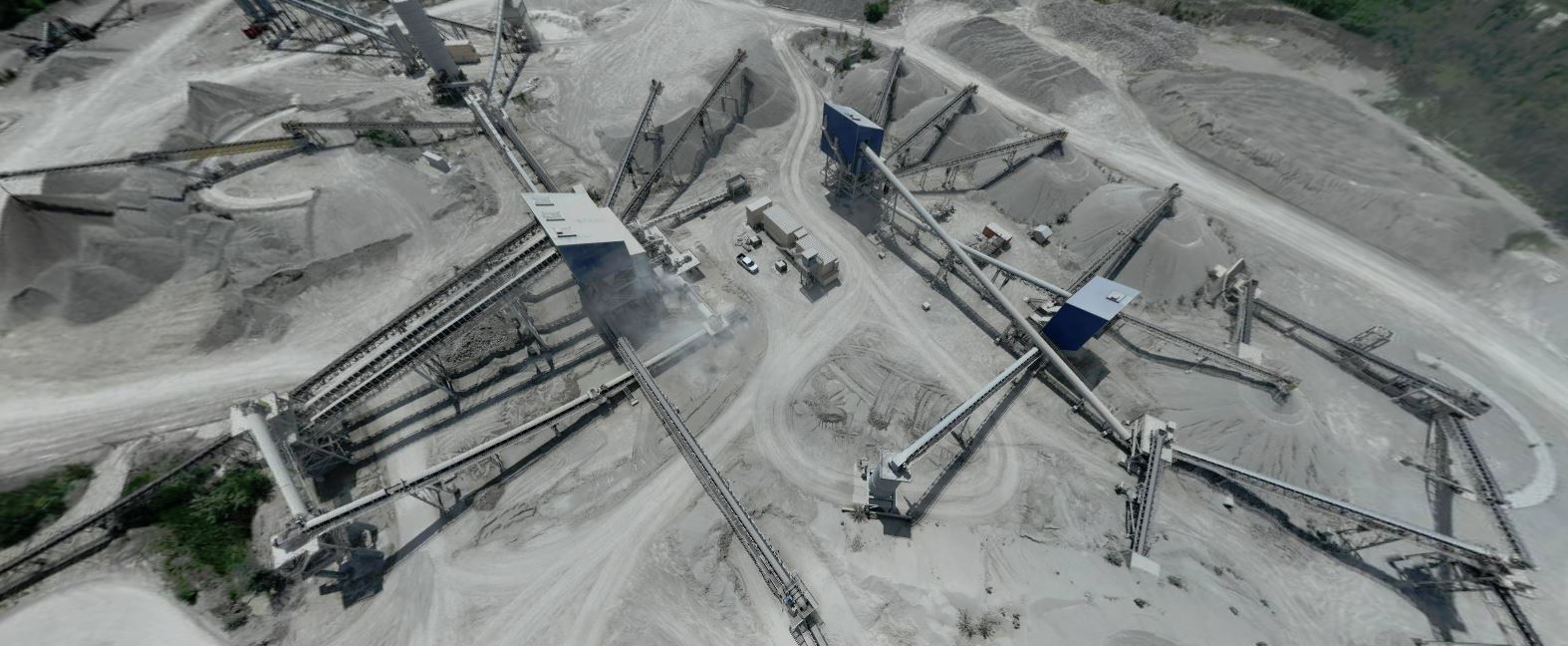
Drones capture high-resolution imagery, which can be processed into 3D point clouds, contour maps, and orthomosaic images. These deliverables don’t just look impressive—they provide actionable insights. Operations managers, procurement specialists, and finance teams can easily compare stockpile volumes over time, identify shrinkage or overstock trends, and streamline inventory reconciliation processes.

5. Scalable and Repeatable

Whether you manage a single facility or dozens across the region, drone stockpile reporting is a scalable solution. Once the flight plan is established, recurring surveys can be scheduled at weekly, monthly, or quarterly intervals. The repeatable nature of drone workflows ensures consistent data over time, which is ideal for long-term project tracking or year-over-year comparisons.
How St Louis Drones Helps You Get the Most from Drone Technology

At St Louis Drones, we specialize in full-service commercial drone photography and video production—including stockpile documentation. We bring decades of visual production expertise and the latest drone mapping tools to every project. Our licensed drone pilots are trained to operate in complex environments, including indoor facilities, industrial sites, and restricted airspace.

In addition to field capture, our in-house post-production team uses cutting-edge AI-enhanced software to process your drone data quickly and accurately. From delivering clean volumetric reports to repurposing aerial visuals for marketing, we know how to transform raw drone imagery into strategic business tools.

Since 1982, our expert crews have supported organizations across St. Louis—partnering with businesses, marketing firms, and creative agencies to deliver successful video and photography projects tailored to each client’s unique goals.

St Louis Drones offers:

  • Licensed and insured drone pilots
  • Full-service aerial video and photography
  • Studio and on-location production
  • AI-powered editing and post-production
  • Customized solutions for construction, logistics, and industrial sites
  • Indoor drone operations for challenging environments
  • Safe and accurate stockpile measurement solutions
  • Scalable visual asset creation for ongoing needs

We are well-versed in all file types, media styles, and software ecosystems, ensuring that your deliverables are compatible with your internal reporting systems or external marketing platforms.

When precision, safety, and visual quality matter, St Louis Drones delivers. Let us help you elevate your next stockpile report—literally.

Rob Haller 314-604-6544 stlouisdrones@gmail.com
How Drones Help Construction Managers Make Better Plans: Aerial Insights That Drive Smarter Building Decisions

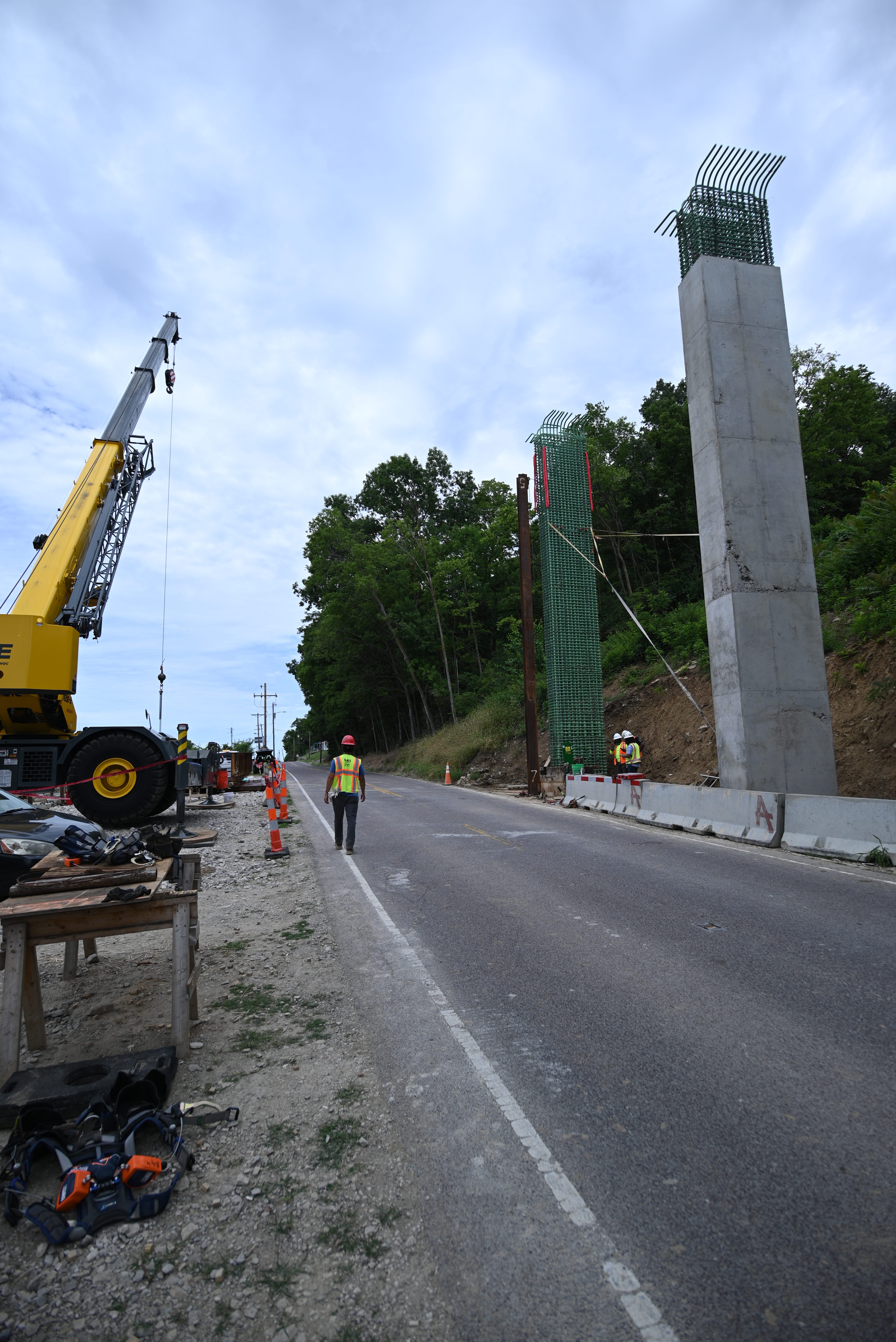
In the fast-paced world of construction, every decision—whether related to planning, safety, or budgeting—can significantly affect the timeline and success of a project. One of the most impactful tools reshaping how construction managers plan and execute their work is drone technology. Aerial imagery and data collected by drones are now vital components in construction project planning, offering unmatched visibility, accuracy, and efficiency.

The Power of Aerial Perspective in Construction Planning

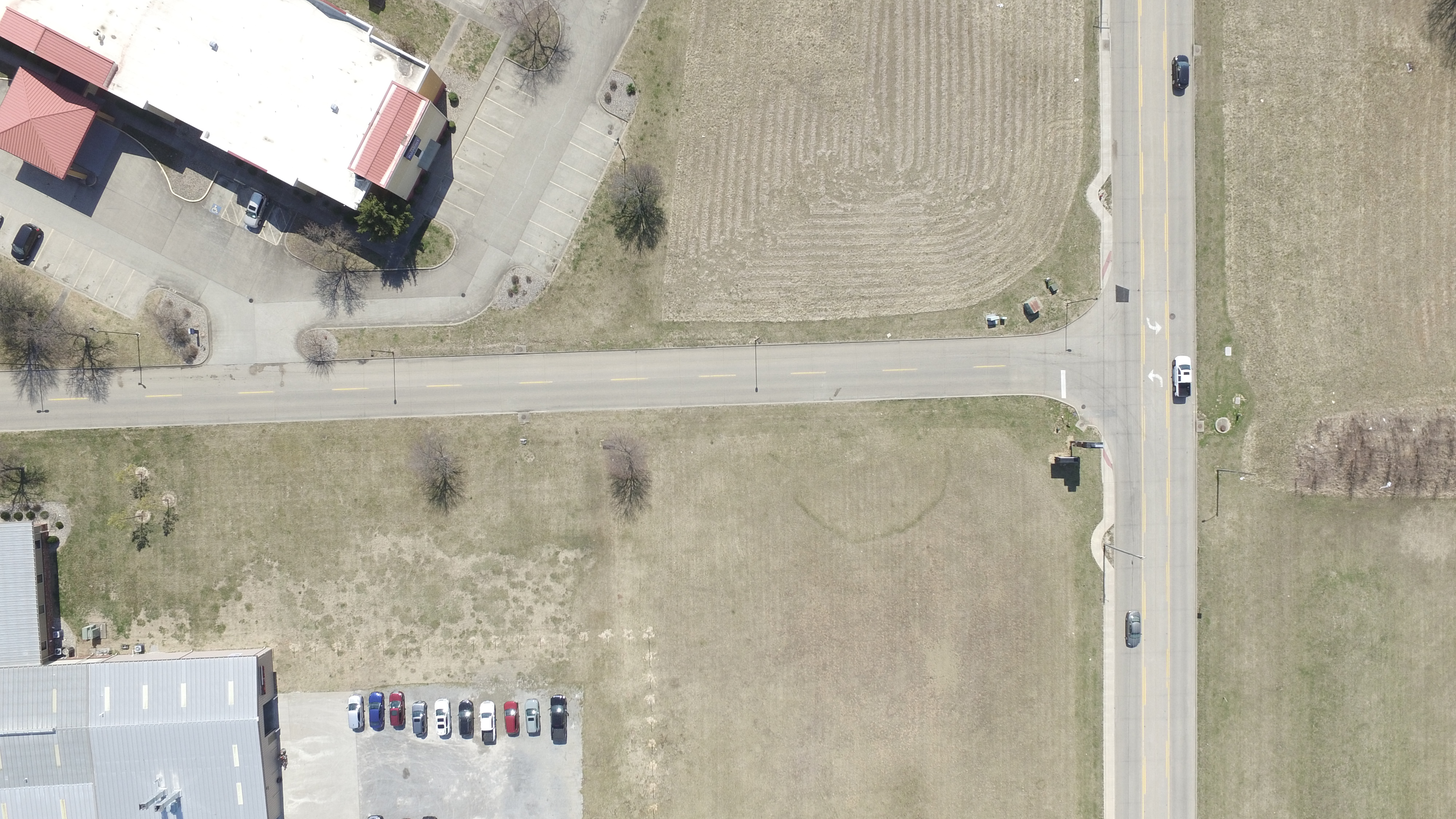
Drones provide real-time, high-resolution imagery and 3D data that traditional methods can’t match. From pre-construction assessments to final inspections, drones give construction managers a bird’s-eye view of job sites, allowing for:

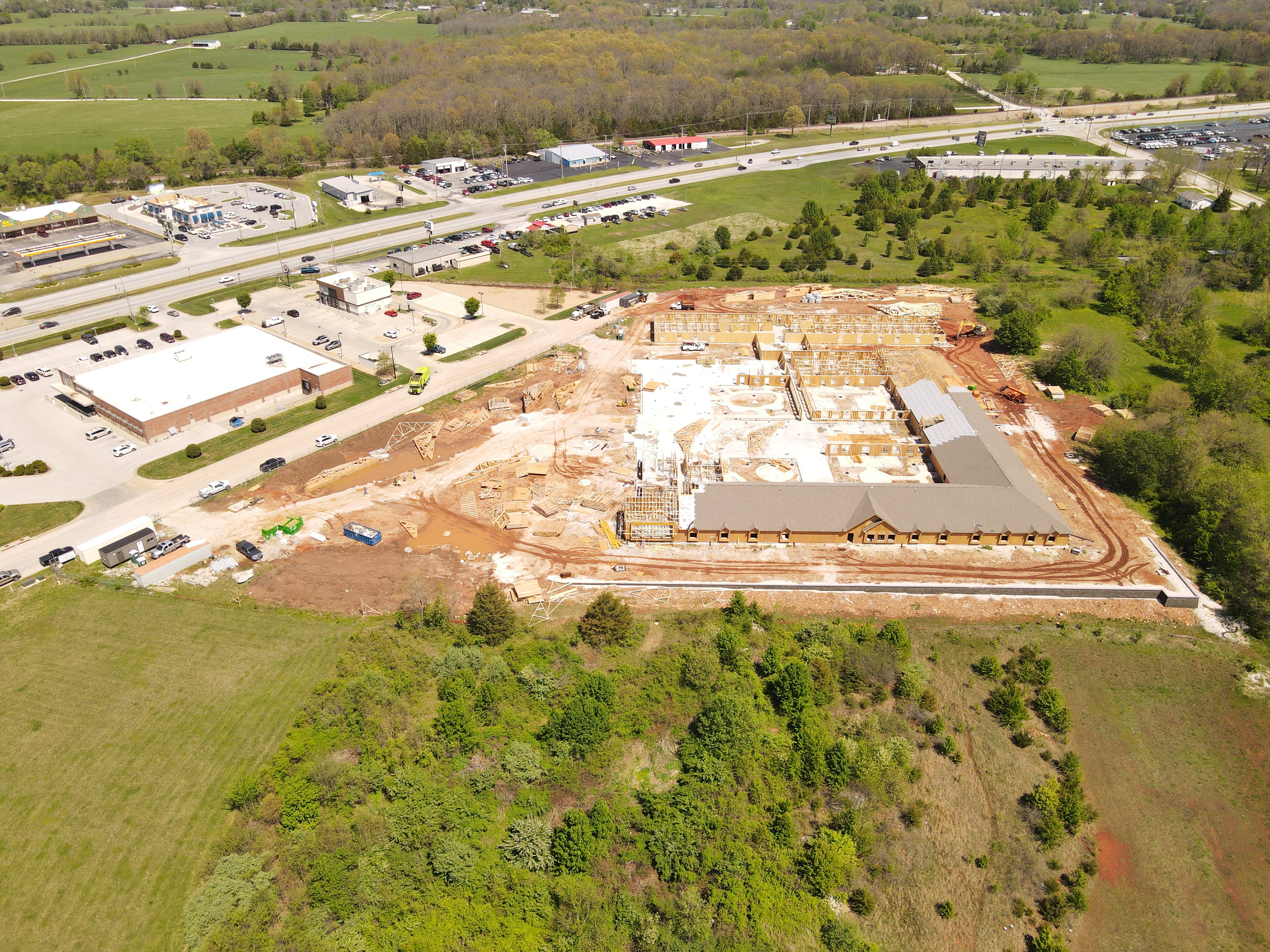
  • Site Surveys & Mapping: Drone-generated orthomosaic maps and topographic data offer quick, cost-effective alternatives to traditional land surveys. Managers can evaluate terrain, plan logistics, and detect potential site limitations before ground is even broken.
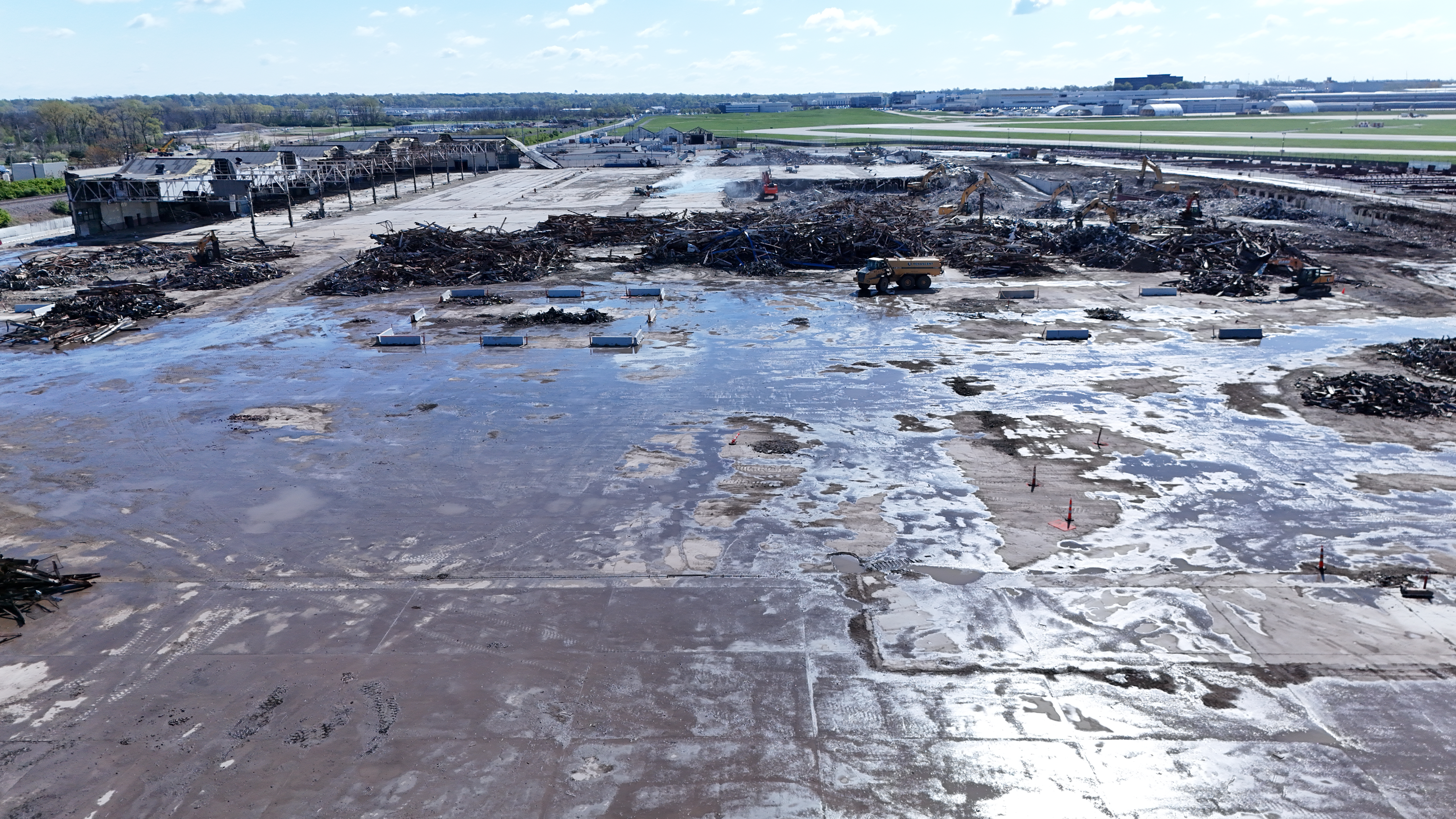
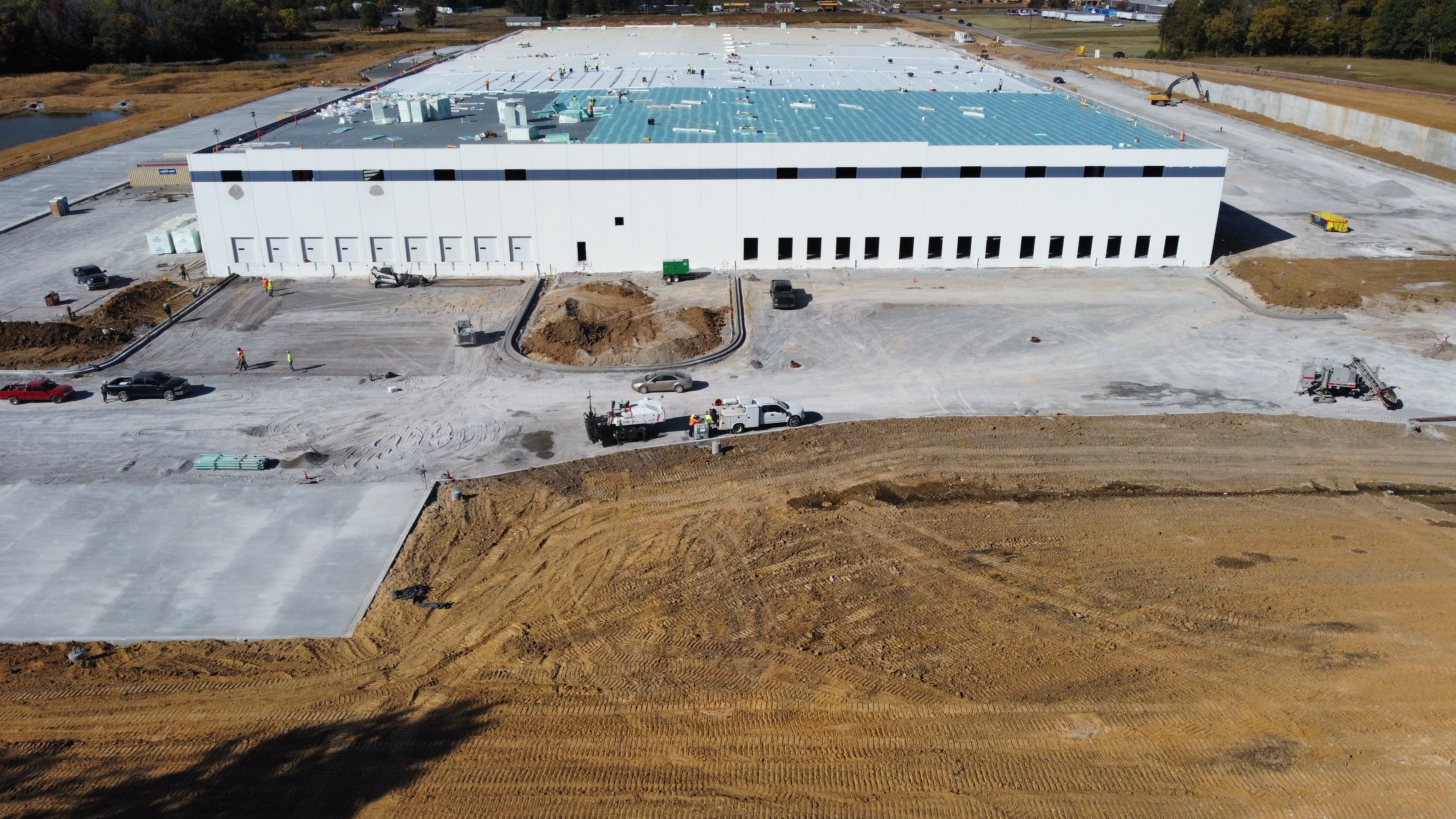
  • Progress Monitoring & Reporting: High-definition aerial photos and videos provide a visual record of progress over time. These updates help managers spot discrepancies, verify contractor performance, and maintain transparency with stakeholders.
  • Enhanced Accuracy with 3D Modeling: Drones can create accurate 3D models and digital elevation models (DEMs), enabling more precise planning and volume calculations for excavation or material stockpiles. These data-driven insights reduce waste and ensure better allocation of resources.

Safer, Smarter, and More Efficient

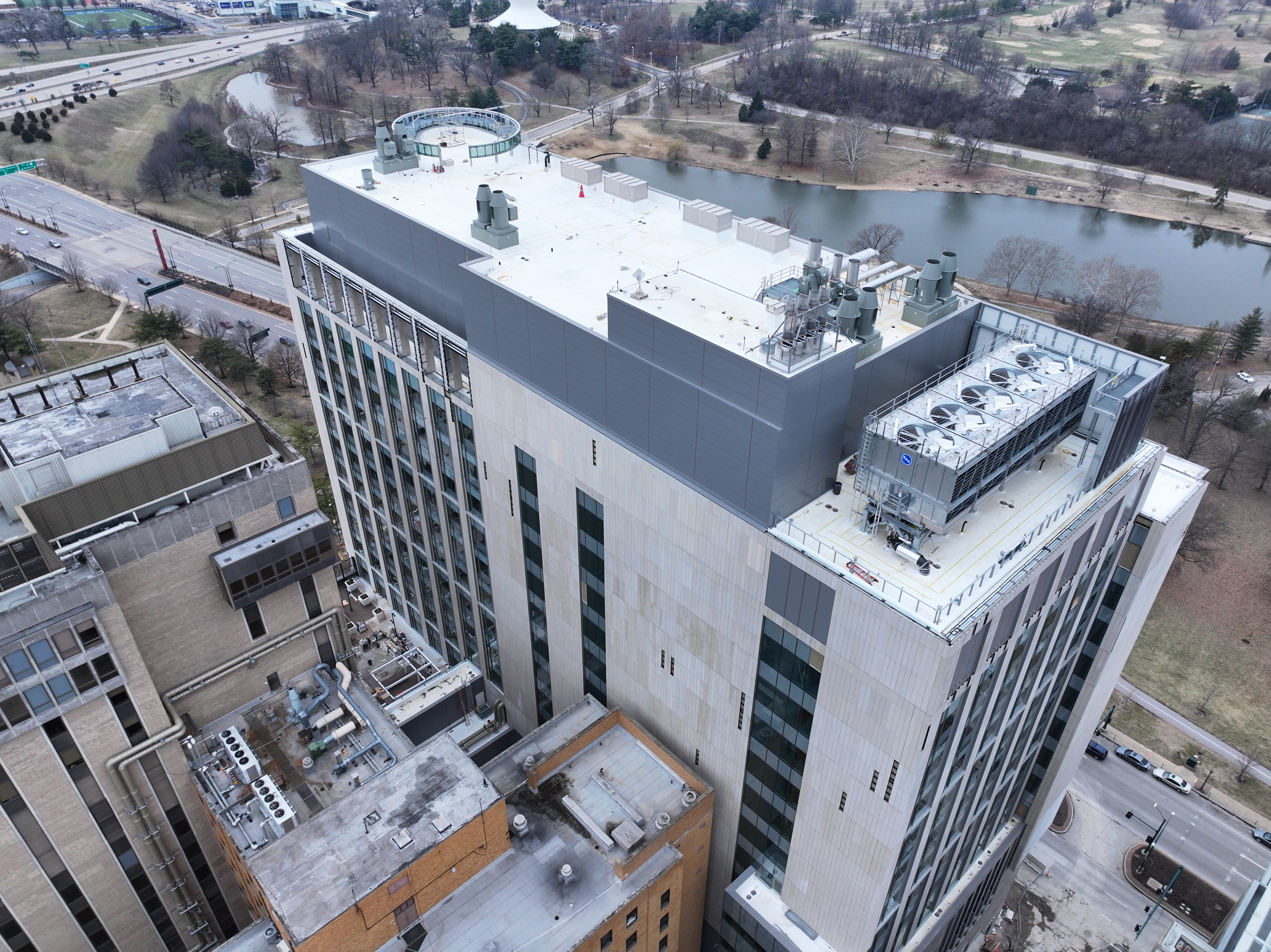
Drones significantly reduce the need for manual inspections of hard-to-reach or hazardous areas such as rooftops, scaffolding, or deep excavations. This not only improves job site safety but also increases the frequency and reliability of inspections.

By eliminating the delays associated with traditional surveying methods and manual reporting, drones streamline communication between departments, contractors, and project owners—enhancing decision-making and ultimately accelerating project timelines.

Real-Time Data for Real-World Decisions

Construction sites are dynamic environments. With drone data, managers can overlay current conditions against original plans to ensure alignment and catch deviations early. Integration with BIM (Building Information Modeling) platforms makes this data even more powerful, allowing teams to simulate and plan the next phase with confidence.

Additionally, real-time drone data can help in managing logistics—such as verifying material deliveries, optimizing equipment placement, and planning staging areas—which are crucial to keeping large projects on track.


Why Construction Teams Trust St Louis Drones

At St Louis Drones, we specialize in providing the construction industry with powerful aerial tools to enhance project planning and management. As a full-service professional commercial photography and video production company, we bring together the latest drone technology, AI-powered image analysis, and a seasoned creative crew to deliver exceptional results.

Whether you’re documenting a high-rise project downtown or managing a sprawling infrastructure site, our licensed drone pilots and experienced videographers ensure safe, accurate, and timely aerial imaging. Our services go beyond drone footage—we offer full-service studio and location video and photography, editing, and post-production solutions tailored to your project’s unique media needs.

We are experts in repurposing photography and video assets to maximize brand visibility and engagement across platforms. With fluency in all major file types, styles, and media software, we seamlessly integrate drone visuals into your broader marketing or documentation strategy.

Our private studio setup is also ideal for interview scenes and small-scale productions, and we have the space and flexibility to incorporate props and custom lighting designs to support your brand narrative.

Best of all, we’re equipped to fly specialized drones indoors for controlled environment shots—perfect for industrial, promotional, or progress documentation purposes.

Since 1982, we’ve partnered with construction firms, creative agencies, and marketing teams across St. Louis to deliver compelling imagery and data-driven insights. Let St Louis Drones help you plan better, work smarter, and build stronger with the power of aerial production.

314-604-6544 stlouisdrones@gmail.com

Drone Inspections: How to Spot Solar Panel Problems Fast

As the adoption of solar energy continues to rise, businesses and organizations are increasingly investing in solar panel installations to reduce their carbon footprint and energy costs. However, maintaining these systems requires regular inspections to ensure optimal performance. Traditional inspection methods can be costly, time-consuming, and potentially hazardous. This is where drone technology revolutionizes solar panel inspections—offering a faster, safer, and more cost-effective solution.

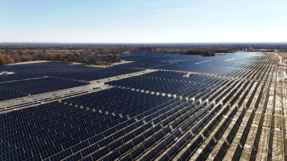
Using high-resolution and thermal imaging cameras, our drones capture detailed data across the entire solar installation.

Why Drone Inspections for Solar Panels?

Drones equipped with high-resolution cameras and thermal imaging sensors allow for comprehensive inspections of solar panel arrays without the need for manual checks. Here are some key benefits of using drones for solar panel inspections:

  1. Speed and Efficiency – Drones can inspect vast solar farms or rooftop installations in a fraction of the time it would take for manual inspections.
  2. Enhanced Accuracy – With advanced imaging technology, drones can detect even minor anomalies that might go unnoticed during manual checks.
  3. Cost Savings – By reducing labor costs and minimizing equipment downtime, businesses can significantly lower maintenance expenses.
  4. Safety – Eliminating the need for technicians to climb onto rooftops or walk through large solar farms minimizes risks associated with falls and other workplace hazards.
  5. Comprehensive Data Collection – Drones capture high-resolution images and thermal scans, allowing for in-depth analysis of panel performance and potential failures.

Common Solar Panel Issues Drones Can Detect

  1. Hot Spots – Thermal imaging allows drones to detect hot spots, which indicate potential electrical issues, shading problems, or panel malfunctions.
  2. Cracked or Damaged Panels – High-resolution photography can identify physical damage from hail, debris, or poor installation practices.
  3. String Failures – A group of solar panels failing simultaneously may indicate inverter or wiring issues, which drones can quickly pinpoint.
  4. Dirt and Debris Accumulation – Dust, leaves, bird droppings, and other debris can reduce panel efficiency. Drones provide an aerial perspective for maintenance planning.
  5. Wiring and Connection Issues – Thermal sensors can detect uneven heating patterns, signaling potential wiring or connection failures.

How Drone Inspections Work

At St. Louis Drones, we follow a streamlined process to ensure thorough and reliable solar panel inspections:

  1. Pre-Flight Planning – Our team assesses the location and determines optimal flight paths to maximize coverage.
  2. Data Collection – Using high-resolution and thermal imaging cameras, our drones capture detailed data across the entire solar installation.
  3. Data Analysis – Our experts analyze the images and thermal scans, identifying potential problem areas that need attention.
  4. Detailed Reporting – We provide clients with comprehensive reports, including annotated images, thermal maps, and recommended actions.
  5. Actionable Solutions – If issues are detected, we collaborate with businesses to plan necessary repairs or maintenance, ensuring minimal downtime and maximum efficiency.

Partner with St. Louis Drones for Your Solar Panel Inspections

At St. Louis Drones, we bring decades of experience in professional aerial photography and video production, offering cutting-edge drone technology for efficient and accurate solar panel inspections. Our full-service commercial photography and video production company is equipped with state-of-the-art imaging tools and a highly skilled creative crew dedicated to successful image acquisition.

We provide:

  • Licensed Drone Pilots – Our FAA-certified pilots ensure safe and compliant operations.
  • Customizable Production Services – From studio and location video shoots to post-production and editing, we cater to diverse media requirements.
  • Expertise in Branding and Repurposing Media – We help businesses optimize their photo and video assets for maximum engagement.
  • Advanced Studio Capabilities – Our private studio lighting and visual setup are ideal for interviews and small productions, with enough space to incorporate props and create a dynamic set.
  • Indoor Drone Flying Capabilities – Our specialized drones can operate indoors, allowing for close-up inspections even in challenging environments.

Since 1982, St. Louis Drones has been the trusted partner for businesses, marketing firms, and creative agencies in the St. Louis area, delivering high-quality photography and video solutions. Whether you need drone inspections for solar panels or full-scale video production services, we have the expertise and equipment to make your project a success.

Contact us today to schedule your next drone inspection and ensure your solar energy investment operates at peak performance!

314-604-6544 stlouisdrones@gmail.com