In the world of mining, construction, and aggregate industries, accurate measurement and management of stockpiles are critical. Traditionally, this process involved labor-intensive and time-consuming methods, often yielding inconsistent results. However, with the advent of drone technology, these industries have found a more efficient, accurate, and safer way to measure stockpiles and track volumes. In this comprehensive guide, we will explore how drones can revolutionize your stockpile measurement processes.
The Advantages of Using Drones for Stockpile Measurement
Efficiency and Time Savings
Using drones to measure stockpiles significantly reduces the time required for data collection. Traditional methods may take hours or even days, depending on the site’s size and complexity. In contrast, a drone can complete the same task in a fraction of the time, often within minutes. This efficiency translates to cost savings and allows for more frequent surveys, ensuring up-to-date inventory data.
Enhanced Accuracy
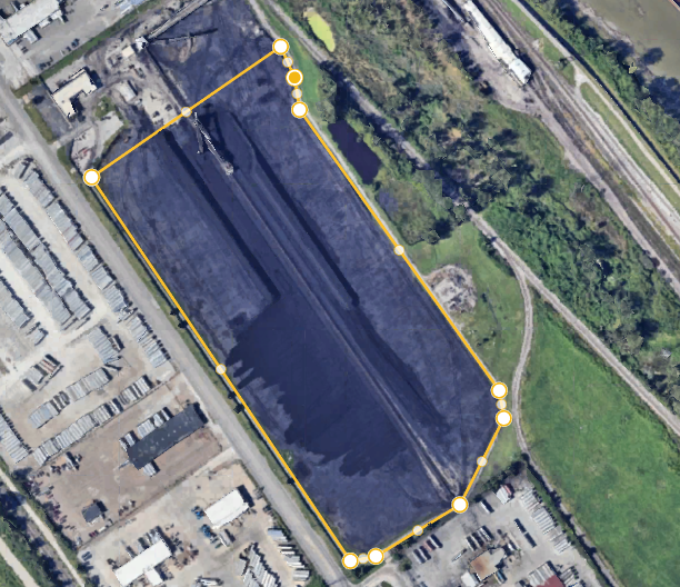
Drones equipped with high-resolution cameras and advanced sensors capture geo-referenced images from above the worksite. These images are processed using photogrammetry software to create precise 3D maps of the site. The accuracy of these measurements is unparalleled, often within a few centimeters, providing reliable data for inventory management and project planning.
Safety Improvements
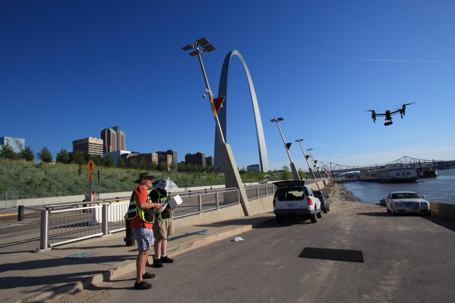
Traditional stockpile measurement methods often involve personnel climbing unstable piles or navigating heavy machinery, posing significant safety risks. Drones eliminate the need for physical contact with the stockpiles, enhancing worker safety and reducing the likelihood of accidents.
How Drone Surveys Work
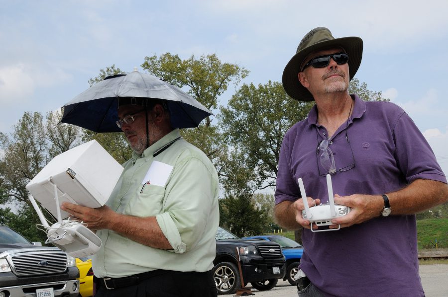
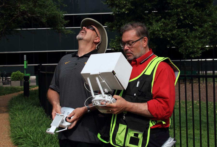
Data Collection
A drone equipped with a high-resolution camera flies over the worksite, capturing a series of overlapping images. These images are geo-referenced, meaning they are tagged with precise GPS coordinates, ensuring accurate spatial data.
Data Processing
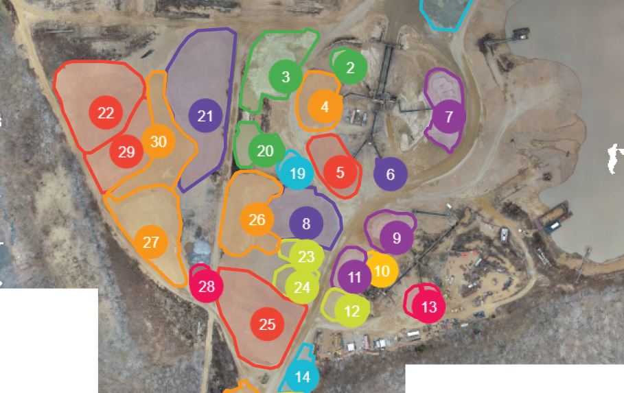
The captured images are processed using photogrammetry software, which stitches them together to create a detailed 3D map of the site. This map can be analyzed to take various measurements, including stockpile volumes, surface areas, and elevation changes.

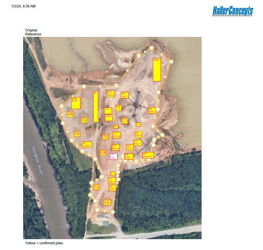

Data Analysis and Reporting
Drone survey visualization software leverages the accuracy of the 3D maps to provide actionable data. Users can compare current stockpile volumes to previous surveys, track site progress, and even compare stockpile surveys to final grade design files. This capability allows for precise calculations of how much material needs to be added or removed.
Applications of Drone Technology in Stockpile Management
Mining and Aggregates
For professionals in the mining and aggregates industries, drone surveys offer a reliable way to manage stockpile inventories. The precise volume calculations help in maintaining optimal stock levels, planning extraction activities, and ensuring efficient resource utilization.
Construction Sites
Construction sites benefit from drone surveys by quickly and accurately surveying large areas. The 3D maps generated provide valuable insights into site progress, material requirements, and compliance with design specifications.
Environmental Monitoring
Drones also play a crucial role in environmental monitoring by tracking changes in landscapes and ensuring compliance with environmental regulations. The ability to capture high-resolution images and generate 3D models aids in assessing the impact of mining and construction activities on the surrounding environment.
Why Choose St Louis Drones and Photo for Your Drone Survey Needs
At St Louis Drones and Photo, we are a full-service professional commercial photography and video production company with extensive experience in image and stockpile inventory data acquisition. Our team is equipped with the latest technology and creative expertise to deliver exceptional results for your business.

Comprehensive Services
We offer a wide range of services, including full-service studio and location video and photography, editing, post-production, and licensed drone pilots. Our capabilities allow us to customize productions to meet diverse media requirements, from repurposing your photography and video branding to ensuring you gain more traction in your market.
State-of-the-Art Equipment and Expertise
Our private studio lighting and visual setup are perfect for small productions and interview scenes. The studio is large enough to incorporate props, creating a complete set for your production. We also offer specialized drones capable of indoor flights, providing versatile solutions for various production needs.
Experienced and Dedicated Team
Our experienced team can assist with every aspect of your production, from custom interview studio setups to providing sound and camera operators. We have the equipment and expertise to make your next video production perfect.
Proven Track Record
St Louis Drones and Photo has successfully partnered with numerous businesses to gather data and measure stockpiles. Our commitment to accuracy, efficiency, and safety has made us a trusted provider in the industry.
In conclusion, leveraging drone technology for stockpile measurement and volume tracking offers significant advantages in terms of efficiency, accuracy, and safety. With St Louis Drones and Photo, you can trust that your data acquisition needs are in expert hands, ensuring the best outcomes for your projects. Contact us today to learn more about how we can assist with your next drone survey and production needs.
Rob Haller 314-604-6544 stlouisdrones@gmail.com